
TLDR
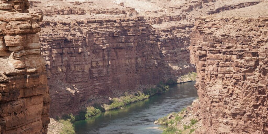
Serbia is stitched together by water. The Danube and Sava carve its northern edge and meet in Belgrade; the Drina forms a jagged, canyon-cut border with Bosnia; the Morava system is the longest river entirely within the country; and the Uvac and Ibar are where you go for the visuals — looping canyon meanders, griffon vultures, and whitewater. If you only have time for one river trip, make it the Drina-Tara corridor near Bajina Bašta for rafting, or the Uvac Special Nature Reserve for the view every Serbia Instagram post is stealing.
Table of Contents
- The Quick-Scan Table
- The Danube: Serbia’s Backbone
- The Sava: Where Belgrade Begins
- The Drina: Canyon, Border, Rafting Capital
- The Morava: The Longest River Actually in Serbia
- The Ibar: Kosovo’s Divide and a Whitewater Run
- The Uvac: Serbia’s Most Photographed River
- When to Go and How to Plan It
The Quick-Scan Table
| River | Length | Where it goes | Known for |
|---|---|---|---|
| Danube | 2,857 km total, ~588 km through Serbia | Enters near Bezdan, exits at Iron Gate Gorge | Belgrade confluence, Iron Gate |
| Sava | ~950 km total | Meets the Danube in Belgrade | Kalemegdan views, Ada Ciganlija |
| Drina | ~346 km | Forms much of the Serbia-Bosnia border | Rafting, deep canyon, Drina House |
| Morava (Great Morava) | 493 km with Zapadna Morava branch | Central Serbia to the Danube | Longest river entirely in Serbia |
| Ibar | 272 km | Kosovo through central Serbia | Rafting near Kraljevo, historic divide |
| Uvac | ~100 km | Southwest Serbia, Pešter plateau | Canyon meanders, griffon vultures |
The Danube: Serbia’s Backbone
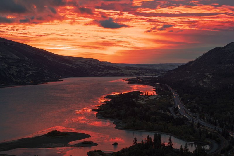
The Danube doesn’t just pass through Serbia — it defines the country’s biggest city. About 588 kilometers of its total 2,857-kilometer run cross Serbian territory, entering near Bezdan on the Croatian border and exiting through the Iron Gate Gorge, where the river squeezes between the Carpathians and the Balkan Mountains and drops into the deepest gorge on any European river. Belgrade’s fortress at Kalemegdan sits exactly where the Danube absorbs the Sava, and that confluence — not a cathedral, not a square — is the city’s actual center of gravity.
Downstream from Belgrade, the Iron Gate stretch is where the river earns its reputation. Djerdap National Park runs alongside it, and the gorge narrows to under 150 meters at Great Kazan, with cliffs rising more than 300 meters on either side. It’s also where the Roman-era Tabula Traiana plaque and the enormous rock-carved face of Decebalus (on the Romanian bank) sit within view of each other — two empires staring across the same water two thousand years apart.
The Sava: Where Belgrade Begins
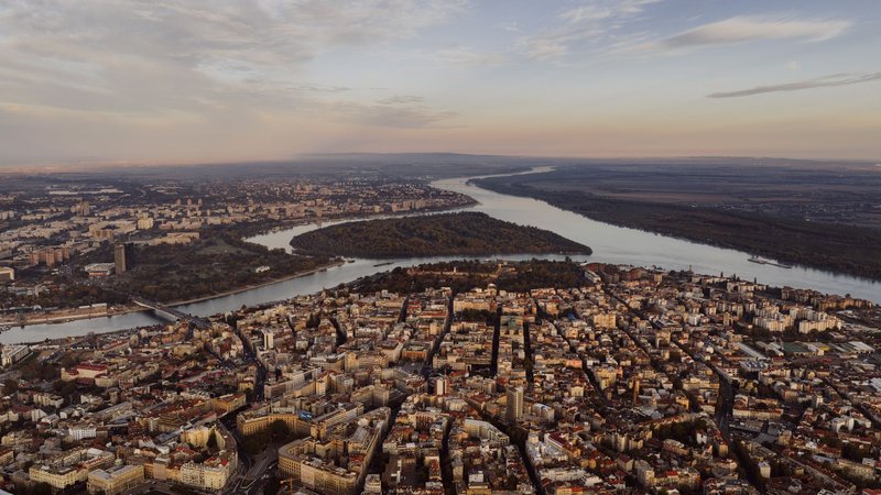
The Sava runs roughly 950 kilometers from its source in the Julian Alps to its mouth in Belgrade, making it the largest tributary of the Danube by volume — bigger, by discharge, than the Danube itself is at their meeting point. For a visitor, the Sava is less about scenery and more about how Belgrade is organized around it: Ada Ciganlija, the river island turned urban beach, sits on a Sava backwater, and the New Belgrade riverside is where the city’s floating clubs — splavovi — line up for a few kilometers of nightlife on the water.
Upstream from the city, the Sava also forms part of Serbia’s border with Croatia and Bosnia, running through wetlands like Zasavica, a protected nature reserve known for its population of European mouflon and endangered fish species, and for producing donkey milk cheese sold nowhere else in the region.
The Drina: Canyon, Border, Rafting Capital
The Drina forms roughly 346 kilometers of the border between Serbia and Bosnia and Herzegovina, and it does it dramatically — the Drina Canyon reaches depths of 700 to 1,000 meters, making it the deepest river canyon in Serbia and, by some measurements, the third-deepest in the world. The river is famous well beyond Serbia’s borders because of Ivo Andrić’s Nobel Prize-winning novel The Bridge on the Drina, set around the Ottoman-era bridge at Višegrad just across the Bosnian side — worth knowing even if the bridge itself sits outside Serbia, because it explains why Serbs talk about this river the way they do.
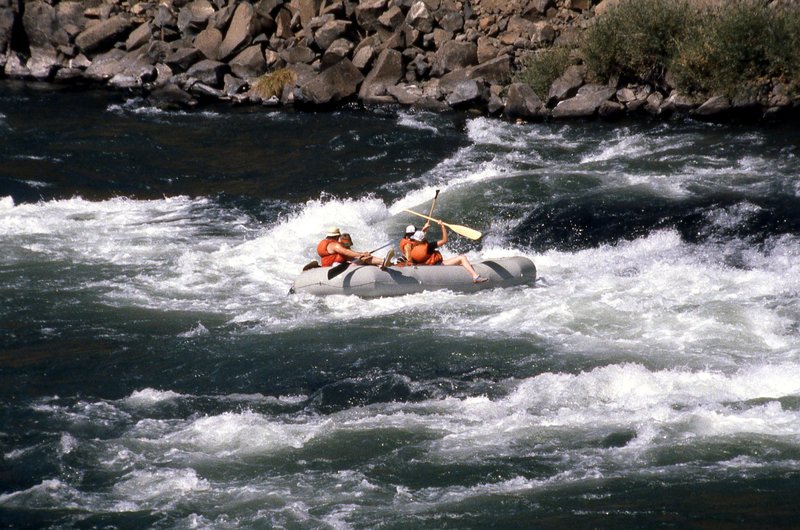
The practical draw is Bajina Bašta, the gateway town for both the Drina and the neighboring Tara River, which joins it nearby. Tara National Park is a 20-minute drive from town, and the rafting season runs the Tara-Drina system for close to 100 navigable kilometers — half-day and full-day trips are standard, with rapids gentle enough for first-timers but scenic enough that guides slow down on purpose. Mid-July brings the Drinska Regata, an unofficial flotilla where thousands of people float the river on anything that stays above water, from proper rafts to inflatable mattresses; just across the border, the rivers of Bosnia offer equally dramatic passages through comparably deep canyons.
The Morava: The Longest River Actually in Serbia
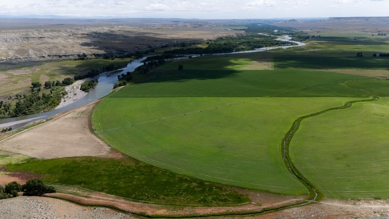
The Danube and the Sava get the postcards, but neither one starts and ends inside Serbia. The Morava does. The Great Morava (Velika Morava) forms at the confluence of the West and South branches near Stalać and runs 470 kilometers to the Danube — and if you count the longer Zapadna Morava branch as its source, the full system reaches 493 kilometers, making it the longest river entirely within Serbian territory.
The Morava valley is Serbia’s agricultural spine, and it’s also historically its invasion route — the river valley formed the natural corridor armies used moving between the Balkans and Central Europe for centuries, which is part of why so many of Serbia’s medieval fortresses and monasteries cluster along its banks rather than in the mountains. It’s not a rafting river; it’s a driving-through-and-stopping-at-monasteries river, and the towns of Ćuprija and Jagodina make reasonable bases for that kind of trip.
The Ibar: Kosovo’s Divide and a Whitewater Run
The Ibar starts in Kosovo, cuts north through the Kopaonik region, and joins the West Morava near Kraljevo, covering 272 kilometers along the way. Politically, it’s the river most associated with the Kosovo-Serbia divide — in Kosovska Mitrovica it functions as a literal dividing line between communities on either bank, which is worth knowing if you’re traveling with any kind of political context in mind.
Further north, past that tension, the Ibar becomes a genuinely good outdoor destination. The stretch near Kraljevo and up toward Kopaonik has become one of Serbia’s rafting alternatives to the Tara-Drina system, with a shorter season and colder water fed by mountain runoff, plus canyon sections that draw kayakers rather than casual tourists. Maglič Fortress, perched on a cliff directly above the river, is the single best reason to stop here even if you skip the water entirely.
The Uvac: Serbia’s Most Photographed River
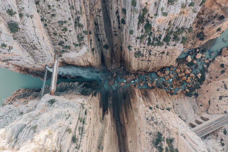
If you’ve seen one photo of a Serbian river shared out of context, it was probably the Uvac. The river carves through the limestone of the Pešter plateau in southwestern Serbia and doubles back on itself so sharply — some bends turn a full 270 degrees — that from above it looks less like a river and more like a fingerprint. The two standard viewpoints, Molitva and Veliki Vrh, require short hikes (the trail network ranges from about 2 to 10 kilometers) and both deliver the meander shot everyone’s after, though Molitva is the one that shows up on postcards.
The Uvac Special Nature Reserve covers about 75 square kilometers and holds Europe’s largest colony of griffon vultures — a conservation success story built on a carcass-feeding program that’s grown the local population past 50 birds after the species nearly disappeared from the region. Boat cruises run from the dam near Nova Varoš, and a roughly 6-kilometer cave system threads underneath the reserve for anyone who wants the underground half of the story. Come for the meanders; the vultures circling overhead are the part people don’t expect.
When to Go and How to Plan It
Late spring (May–June) and early fall (September) hit the sweet spot for most of these rivers: water levels are manageable for rafting on the Drina and Ibar, temperatures are comfortable for the Uvac hiking trails, and the crowds haven’t peaked. July and August work fine for rafting and the Danube’s Iron Gate boat trips, but expect heat in the Morava valley and a packed Drinska Regata if you’re near Bajina Bašta that week. For summer nights in smaller guesthouses, pack a quiet rechargeable fan.
Getting around without a car is possible for Belgrade’s Danube and Sava sights, but the Drina, Uvac and Ibar all sit well outside the capital and are genuinely easier with a rental car or a booked tour — Nova Varoš for the Uvac, Bajina Bašta for the Drina-Tara rafting circuit, and Kraljevo for the Ibar and Maglič. Local operators in each town run day trips if driving isn’t an option, and booking a raft or boat slot a day or two ahead is usually enough outside of peak July weekends.