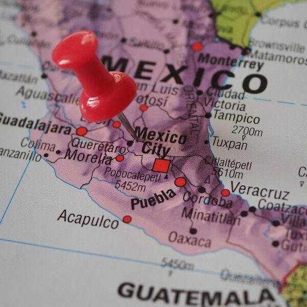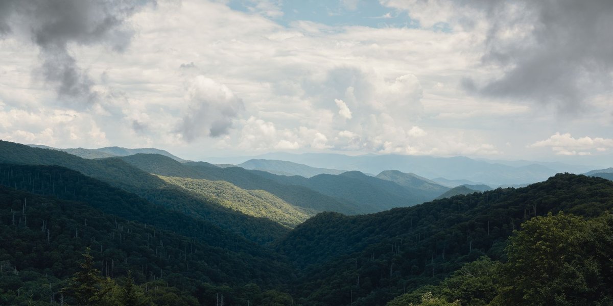
Most of the North Carolina-Tennessee line doesn’t follow a river, a road, or any feature you could point to from a car window. It follows the ridgeline of the Unaka and Great Smoky mountains for roughly 200 miles, which means the border itself is a hiking trail for long stretches — the Appalachian Trail runs directly on top of it, so a thru-hiker can walk for days with one foot in each state without knowing it.
That’s the reason the border towns worth knowing about aren’t the kind you’d find on a highway sign. They’re the kind you find because a copper mine ran out of ore, a surveyor ran out of whiskey, or a trading post sat at the only gap through the mountains for 300 miles. Here’s the rundown, west to east.
Table of Contents
- Why the Line Zigzags Instead of Running Straight
- The Towns at a Glance
- Ducktown and Copperhill: The Whiskey Line
- Hot Springs and Del Rio: The River Crossing
- Roan Mountain: One Bald, Two States
- Trade and Mountain City: The Oldest Address in Tennessee
- The Three-State Corner Near Whitetop
- Where the Line Cuts Through a National Park
- Planning a Border Road Trip
Why the Line Zigzags Instead of Running Straight
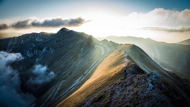
North Carolina and Tennessee didn’t sit down with a straight edge and draw this border. Tennessee started as North Carolina’s western territory, and when the two split in 1796, the deal was to follow the highest ridges of the mountain chain south to Georgia — a boundary defined by geography instead of geometry.
That worked until it didn’t. Crews surveyed the northern stretch in 1799 and the middle section decades later, and each team used its own instruments, its own reference points, and in more than one case, its own judgment about which ridge counted as “highest.” The result is a line that bends around peaks, drops into gaps, and occasionally does something a straight survey never would.
The most famous example sits at the border’s southern end, near Unicoi Gap. In 1819, the surveying party was under orders to keep following the ridgeline all the way to Georgia. Instead, they turned due south and ran a straight line for 15 miles. Local tradition says the crew had run out of liquor and heard there was a still waiting for them at the Georgia line, so they cut the job short. There’s no surviving receipt to prove the story, but the line itself is the evidence — a ruler-straight 15-mile deviation in an otherwise ridge-hugging border, with no other engineering explanation on record.
That single decision is why Ducktown and Copperhill, Tennessee sit on the “wrong” side of the mountains today. Under the original ridgeline plan, both towns would have ended up in North Carolina.
The Towns at a Glance
| Town | State | Elevation | Population | Known for |
|---|---|---|---|---|
| Ducktown | Tennessee | 1,732 ft | 461 | The 1819 “whiskey line” survey error |
| Copperhill | Tennessee | 1,470 ft | 443 | Ducktown’s twin, built on a copper boom |
| Hot Springs | North Carolina | 1,378 ft | 520 | The state’s only natural hot springs, AT runs through Main Street |
| Del Rio | Tennessee | — | unincorporated | French Broad River crossing, Cocke County moonshine country |
| Roan Mountain | Tennessee | 2,550 ft | 1,078 | Gateway to the grassy balds of the Roan Highlands |
| Trade | Tennessee | 3,133 ft | unincorporated | Tennessee’s oldest community, at its highest elevation |
| Mountain City | Tennessee | 2,418 ft | 2,415 | Highest incorporated city in Tennessee |
| NC-TN-VA Corner (near Whitetop, VA) | tripoint | ~4,650 ft | — | Where three states meet in the Iron Mountains |
(Population figures are 2020 census counts for incorporated towns; Del Rio and Trade are unincorporated communities with no official population count of their own.)
Ducktown and Copperhill: The Whiskey Line
Ducktown and Copperhill sit shoulder to shoulder in the southeast corner of Tennessee, close enough to Georgia that you can see the state line from the edge of town. For most of the 20th century, this was one of the strangest landscapes in the eastern United States: decades of open-pit copper smelting stripped the surrounding hills down to bare red clay, killing vegetation for miles in every direction. Locals called it the Ducktown Basin, and NASA reportedly used aerial photos of it to study erosion because nothing else in the region looked like it.
The mines are closed now and the basin has been replanted, but the towns kept the border quirk that put them here. Walk a few miles east from downtown Ducktown and you’ll cross into North Carolina near Culberson — the same ridge the original 1819 survey was supposed to follow before the crew’s detour sent the line straight south instead.
Hot Springs and Del Rio: The River Crossing
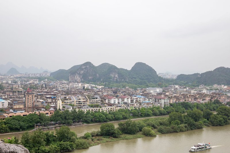
Hot Springs, North Carolina earns its name honestly — it’s the only natural hot spring in the state, and the mineral pools along the French Broad River have been drawing visitors since the 1800s, back when the town operated as a resort called Warm Springs. The Appalachian Trail runs straight down Bridge Street through the middle of town, which means thru-hikers pass within a block of a hot tub about 275 miles into their walk from Georgia.
Follow the French Broad about 15 miles northwest and you’ll hit Del Rio, Tennessee, an unincorporated community tucked into Cocke County where the river meets Big Creek. This is moonshine country in the literal sense — Cocke County’s hills produced Marvin “Popcorn” Sutton, the third-generation distiller who became the closest thing modern Appalachia has to a folk hero for the trade. The river that made Hot Springs a resort town is the same one that made Del Rio a smuggling route.
Roan Mountain: One Bald, Two States
Roan Mountain, Tennessee sits at the base of the mountain that shares its name, and that mountain is the reason people make the drive. At 6,285 feet, Roan Mountain is the highest point in Tennessee outside the Great Smokies, and its summit ridge holds one of the largest natural rhododendron gardens in the country alongside a string of grassy balds — treeless mountaintop meadows that botanists still can’t fully explain. Some theories point to grazing by extinct megafauna, others to Cherokee land management, others to fire. Nobody has settled it.
The Appalachian Trail crosses the summit before dropping toward the North Carolina side, and the balds straddle the state line closely enough that a short walk from one overlook to the next can cross it more than once. Roan Mountain State Park sits just south of the community and is the easiest access point if you’re not planning a full AT section hike.
Trade and Mountain City: The Oldest Address in Tennessee
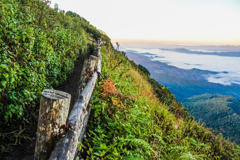
Trade, Tennessee doesn’t look like a place with a 350-year head start on the rest of the state, but the paperwork backs it up. English-speaking travelers passed through as early as 1673, when the Needham and Arthur expedition used the gap between Snake and Rich mountains as a route west — the easiest way through the mountains for a hundred miles in either direction. By the mid-1700s it was a working trading post known as “The Trade Gap,” and it’s generally recognized as Tennessee’s oldest continuously identified settlement. It also happens to sit at 3,133 feet, the highest elevation of any named community in the state.
The border runs immediately south of Trade, with Zionville, North Carolina directly across the line. A few miles north, Mountain City, Tennessee holds its own elevation record as the highest incorporated city in Tennessee at 2,418 feet, and traces its founding to travelers who used the same gap at Trade before Mountain City existed as a town at all — Daniel Boone reportedly came through in 1769, nearly a century after the first recorded visit.
The Three-State Corner Near Whitetop
Eight miles southwest of Mount Rogers, Virginia’s highest peak, three states meet at a single marker in the Iron Mountains: North Carolina, Tennessee, and Virginia. At roughly 4,650 feet, it’s the highest tripoint of any U.S. states east of the Mississippi River, and getting there is part of the point — the last mile or two is on foot, off a road that stops being passable well before the marker.
The corner exists in its current spot because 18th-century surveyors were working with equipment that couldn’t reliably hold a line across that kind of terrain. Virginia and Tennessee argued over the exact placement for decades, a dispute that eventually reached the U.S. Supreme Court in Virginia v. Tennessee, which upheld the boundary the two states had already agreed to by compact rather than redrawing it from scratch. The nearest town, Whitetop, Virginia, sits about four miles northeast — close enough to resupply from, far enough that the corner itself still feels like the middle of nowhere.
Where the Line Cuts Through a National Park
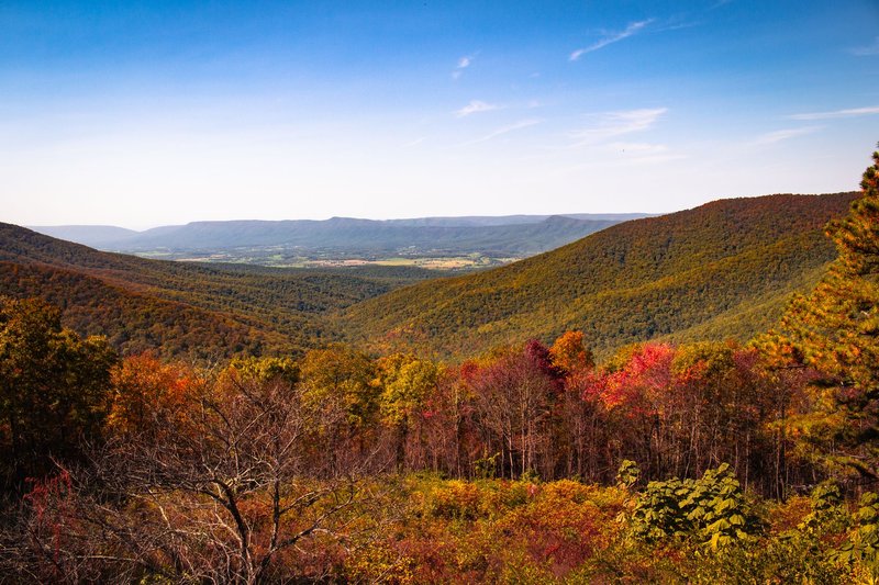
For a long stretch through the Great Smoky Mountains, the state line stops being a rural curiosity and becomes the spine of one of the most visited national parks in the country. Newfound Gap, at 5,046 feet, sits directly on the border and marks the spot where U.S. 441 crosses from Tennessee into North Carolina — Franklin Roosevelt dedicated the park from a platform built right on top of the line in 1940, standing with one foot in each state.
Gatlinburg, Tennessee and Cherokee, North Carolina anchor opposite entrances to the park, and both function as gateway towns rather than border towns in the strict sense — the Appalachian Trail runs along the ridge above them for close to a hundred miles, tracing the same boundary that separates the two states through the rest of this list. Cherokee sits within the Qualla Boundary, the land trust of the Eastern Band of Cherokee Indians, whose ancestors used these mountain passes long before either state existed.
Planning a Border Road Trip
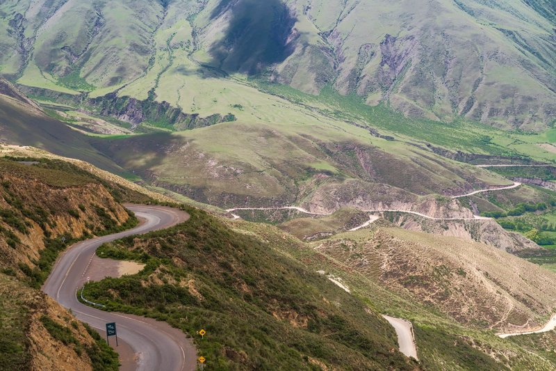
There’s no single highway that traces this border end to end — the mountains won’t allow it — but a loose route through it makes a strong multi-day drive. Start at Ducktown and Copperhill in the far southeast corner of Tennessee, cut north through Murphy, North Carolina and into the Smokies via Newfound Gap, then swing east through Hot Springs and up along US 25/70 toward Del Rio. From there, US 19E threads north past Roan Mountain State Park before the roads narrow again heading toward Trade and Mountain City, with a detour out to the Whitetop tripoint for anyone willing to finish the last stretch on foot.
Spring puts the rhododendrons on Roan Mountain in bloom by late June, and fall color usually peaks in the second and third weeks of October at these elevations — a week or two ahead of the lower valleys on either side. Whichever season you pick, book Hot Springs and Roan Mountain lodging early; both towns are small, and both fill up fast around Appalachian Trail thru-hiker season in spring and leaf season in fall.
None of these towns are trying to be a destination in the theme-park sense. They’re accidents of survey lines and mountain gaps that happened to end up interesting, which is a large part of why they’re worth the detour in the first place.