
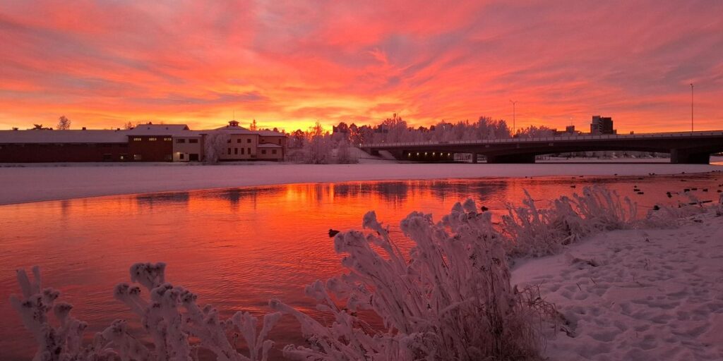
The longest river in Finland is the Kemijoki, at roughly 550 km, and it runs through a dozen-odd power stations on its way to the sea. The wildest are the Tornionjoki, Tenojoki, Simojoki and Ounasjoki, which still run free. That split, between rivers that were harnessed and rivers that were left alone, is the most useful way to understand Finnish rivers, and it decides which ones are worth your time as a traveler.
Finland has about 188,000 lakes, and most of its rivers are really connectors between them. The long ones are in Lapland, where the land tilts gently toward the Gulf of Bothnia. The southern ones are short and fat, the overflow pipes of huge lake systems. Both kinds are covered below.
Contents
- Quick answer: ten rivers at a glance
- Why the length figures disagree
- Rivers versus lakes: how Finland’s water works
- The big Lapland rivers
- The Lakeland and southern rivers
- Dammed or free-flowing
- Reading the map
- Which river for what
- FAQ
Quick answer: ten rivers at a glance
These are ten rivers worth knowing, ordered by length. Tributaries such as the Kitinen and Ivalojoki are left out because they are mostly known as parts of bigger systems. Lengths are rounded.
| River | Length (approx.) | Source | Mouth | Region |
|---|---|---|---|---|
| Kemijoki | 550 km | Kemijärvi area, eastern Lapland | Gulf of Bothnia at Kemi | Lapland |
| Tornionjoki (with Muonionjoki) | 520 km | Fells and lakes near the Swedish border | Gulf of Bothnia at Tornio and Haparanda | Lapland, border with Sweden |
| Iijoki | 370 km | Kuusamo area | Gulf of Bothnia at Ii | Northern Ostrobothnia |
| Tenojoki | 360 km | Joins of Karasjohka and Anárjohka at Karigasniemi | Tanafjord, Barents Sea (Norway) | Lapland, border with Norway |
| Ounasjoki | 300 km | Near Hetta, Enontekiö | Joins the Kemijoki at Rovaniemi | Lapland |
| Kymijoki | 200 km | Lake Päijänne | Gulf of Finland near Kotka | Kymenlaakso |
| Simojoki | 190 km | Lake Simojärvi, Ranua | Gulf of Bothnia at Simo | Lapland |
| Vuoksi | 160 km (Finnish stretch) | Lake Saimaa | Lake Ladoga, Russia | South Karelia |
| Kokemäenjoki | 120 km | Lakes of Pirkanmaa | Bothnian Sea near Pori | Satakunta |
| Oulujoki | 105 km | Lake Oulujärvi | Gulf of Bothnia at Oulu | Northern Ostrobothnia |
The Tenojoki is the only one here that ends in the Arctic Ocean, and the Vuoksi is the only one that never reaches the sea at all. It ends in Lake Ladoga, which drains through Russia’s Neva river into the Gulf of Finland.
Why the length figures disagree
Look up the Kemijoki and you’ll see 500 km in one place and 550 in another. Neither is a typo. The gap comes from three choices: where you place the source, whether you count the stretches that pass through lakes, and whether you follow the main stem or the longest headwater branch. Border rivers add another wrinkle, because the Tornionjoki and Tenojoki are each measured both as a whole and as a Finnish section.
Treat any figure as good to within a few percent. The numbers above are rounded for that reason. For hydrology, watershed and regulation data, the authoritative source is the Finnish Environment Institute (SYKE), whose Vesi.fi page on regulated watercourses is the place to check how heavily each river is managed.
Rivers versus lakes: how Finland’s water works
Finland was scraped flat by ice sheets, and the meltwater left a landscape where lakes fill every hollow. Rivers here rarely carve long valleys. They stitch one lake into the next, with a rapid (a koski) wherever the ground steps down.
That’s why a “river” in southern Finland can be a 100-km channel that drains an enormous lake district. The Kymijoki is Lake Päijänne’s outflow. The Vuoksi is Lake Saimaa’s. The Kokemäenjoki collects the lakes around Tampere. In Lapland the logic flips. There are fewer lakes, bigger drops and much longer rivers, which is why the top of any length ranking is all north of the Arctic Circle or close to it.
Rapids were also what made Finnish rivers attractive for hydropower, which leads to the dams.
The big Lapland rivers
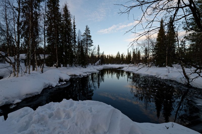
Kemijoki. Finland’s longest river reaches the sea at Kemi after passing through Rovaniemi, where the Ounasjoki joins it just upstream of the city. It is also one of the most heavily regulated. Roughly twenty hydropower plants and several large reservoirs sit on the main river and its tributaries, and the first major plant near the mouth, Isohaara, opened in the late 1940s. Wild salmon, which once ran far upriver, were cut off from their spawning grounds. If you stand on the bridge in Rovaniemi, you’re looking at a river that works for a living.
Tornionjoki. Together with its tributary the Muonionjoki, this is the border between Finland and Sweden for most of its length, and it’s one of Europe’s longest rivers with no dams on the main stem. The twin towns of Tornio and Haparanda sit on opposite banks at the mouth. The river carries one of the largest wild Atlantic salmon runs in the Baltic basin. The best place to see it in action is Kukkolankoski, a rapid a few kilometers long near Tornio, where local fishers dip whitefish out of the current with long-handled nets, a method that dates back centuries and is sold today as a summer meal on the Swedish bank.
Tenojoki. The Finnish name is Teno, the Norwegian and Sámi names are Tana and Deatnu, and it forms much of the Finland–Norway border before emptying into the Tanafjord. It’s among the best Atlantic salmon rivers in the world, fished from long, narrow, flat-bottomed boats powered by outboards, a design that comes from Sámi tradition. Salmon stocks have fallen, and the rules have been tightened sharply since the early 2020s, with shortened seasons and in some years closures. Check the current regulations before you plan a trip around it.
Ounasjoki. It starts near Hetta in Enontekiö, runs through the Pallas–Yllästunturi fells and reaches the Kemijoki at Rovaniemi. At around 300 km it’s the longest undammed river that stays entirely within Finland. It was spared the dam-building that took the Kemijoki, and now it’s a favorite for multi-day canoe trips and for gold-seekers working the smaller creeks nearby.
Iijoki belongs in this group too, though it comes with a catch: its lower stretch is dammed, and there’s ongoing work aimed at restoring fish migration. Upstream it still has plenty of rapids.
The Lakeland and southern rivers
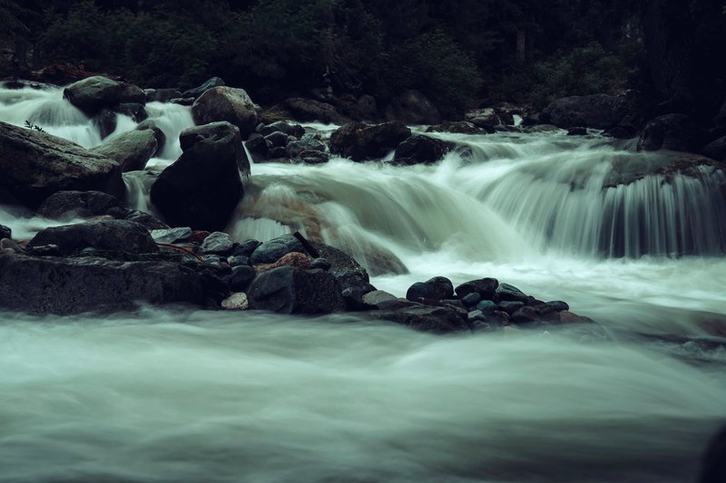
Kymijoki. This one leaves Lake Päijänne and runs south to the Gulf of Finland, splitting into several branches in a delta near Kotka. It carried timber and powered the paper mills that shaped the region, and it’s still dotted with hydropower stations. Near its mouth is Langinkoski, a rapid with an imperial fishing lodge built for Tsar Alexander III, a relic of the Russian era that makes a good day trip from Kotka. Salmon and sea trout have been returning to the Kymijoki in recent years.
Vuoksi. It leaves Saimaa and drops through the Imatra rapids. Imatrankoski was a tourist attraction in the Russian imperial period, with visitors coming by train from St. Petersburg to watch the water. A power plant took most of the flow in the 1920s, but the rapids still run on summer evenings on a published schedule. After Imatra the river crosses into Russia and ends in Lake Ladoga.
Kokemäenjoki. The river of the Tampere region gathers several large lakes and reaches the Bothnian Sea near Pori through a wide delta. The delta is a protected bird area, and the river is a major route for fish migration restoration projects. It’s short at roughly 120 km, but it drains one of the largest basins in the country.
Oulujoki. At about 105 km this is the shortest of the ten, an outflow from Lake Oulujärvi into the sea at Oulu. It’s a staircase of power plants, and the Merikoski rapid in central Oulu is the place where you can watch salmon fishing in the middle of a city.
Dammed or free-flowing
The split is simple. The Kemijoki, Oulujoki, Kymijoki and Kokemäenjoki were developed for hydropower, mostly between the 1940s and the 1970s. The Tornionjoki, Tenojoki, Simojoki and Ounasjoki were not. Finland’s Rapids Protection Act of 1987 stopped further hydropower construction on several of the remaining wild rivers, and today those rivers are the main draw for fishing and paddling trips.
For travelers the practical difference is this. A dammed river gives you reservoirs, lock-step water levels and boat tours. A free-flowing river gives you rapids, salmon runs and real spring floods, when the ice goes out in late April or May in the north. Pick based on which sounds like your trip.
Reading the map
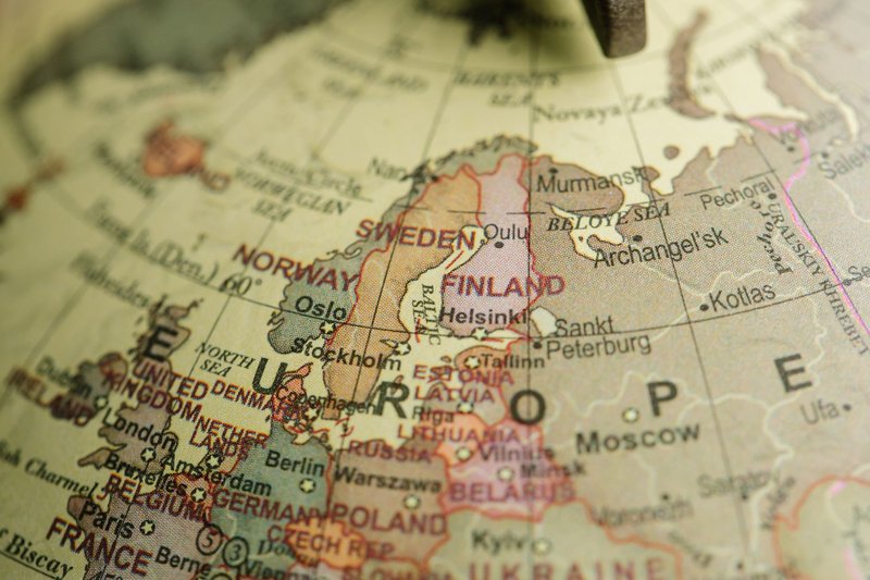
A quick way to read a map of Finland’s rivers: almost everything flows toward the Gulf of Bothnia, the long pale arm of the Baltic on the western side. The big northern rivers (Kemijoki, Tornionjoki, Iijoki, Simojoki, Oulujoki) fan out toward it. The southern lake systems drain toward the Gulf of Finland (Kymijoki) or Lake Ladoga (Vuoksi). The Tenojoki is the outlier, flowing north to the Arctic. Look for the bold line along the western border and you’ve found the Tornionjoki. Look for the northern border with Norway and you’ve found the Teno.
Which river for what
Salmon fishing: Tenojoki and Tornionjoki are the famous ones, both with a long season in summer and strict permit systems. Simojoki is a smaller, quieter option with a well-known salmon and sea trout run. Anything involving lures or trolling in Finland generally needs a national fishing management fee plus a local permit, both sold through Metsähallitus’s Eräluvat service. Simple hand-line angling is covered by everyman’s right.
Canoeing and paddling: Ounasjoki is the classic multi-day trip, with easy rapids and a Rovaniemi finish. Tornionjoki has long calm stretches and a few serious rapids. In the south the Kymijoki and the Vuoksi suit shorter day trips. Summer is the paddling season, from about June to September, and the mosquitoes peak in July in Lapland.
Sightseeing: Rovaniemi on the Kemijoki is the easy one, since most visitors pass through anyway. Kukkolankoski on the Tornionjoki is the best rapid you can reach by road, Imatra on the Vuoksi is the oldest tourist river in the country, and Langinkoski on the Kymijoki combines a rapid with history.
Cross-border trips: Tornio-Haparanda is the easiest border crossing in the Nordic region, since you can walk across the bridge. The Tenojoki runs along the Norway border, with Karigasniemi as the main access point on the Finnish side.
FAQ
What is the longest river in Finland? The Kemijoki, at roughly 550 km. It flows from eastern Lapland through Rovaniemi to the Gulf of Bothnia at Kemi. The Tornionjoki comes second at around 520 km if you count the Muonionjoki.
Which Finnish rivers are free-flowing? The Tornionjoki, Tenojoki, Simojoki and Ounasjoki are the best-known undammed rivers. Finland’s Rapids Protection Act of 1987 helped keep new dams off several of them.
Why are so many Finnish rivers dammed? The rapids that made rivers attractive to travelers also made them ideal for hydropower. Most of the big plants went up between the 1940s and the 1970s. SYKE keeps data on regulated watercourses on its Vesi.fi site.
Do I need a permit to fish in Finland’s rivers? Hand-line angling is free under everyman’s right. Lure fishing generally requires the national fishing management fee for ages 18 to 64, and most salmon rivers also require a local permit. Check the Eräluvat service for the river you’re visiting.
Which Finnish river flows into the Arctic Ocean? The Tenojoki, which empties into the Tanafjord on the Barents Sea in Norway.
When do Finnish rivers freeze? In Lapland rivers are normally frozen from roughly November to late April or May. Southern rivers freeze later and thaw earlier, and fast water below dams can stay open all winter.
Are Finland’s rivers good for canoeing? Yes, particularly in summer. The Ounasjoki, Tornionjoki and the rapids-and-lake routes of the Lakeland are the popular ones, and many outfitters rent canoes and arrange drop-off and pick-up.


