TLDR
- Two countries border the Labrador Sea: Canada and Denmark. Denmark’s share is Greenland, an autonomous territory within the Kingdom of Denmark.
- Canada’s coast is Labrador and Newfoundland, with Quebec and Nunavut at the northern end depending on where you draw the line.
- Greenland is not a sovereign country. It governs itself at home, while Denmark handles foreign affairs and defense. Many reference sites still list it as a country, which is why you’ll see “Canada and Greenland” as the answer.
Table of Contents
- The short answer
- Labrador Sea facts at a glance
- Where the Labrador Sea is
- Is Greenland a country?
- The Canada-Denmark boundary
- Currents, ice and icebergs
- Fisheries and wildlife
- FAQ
The short answer
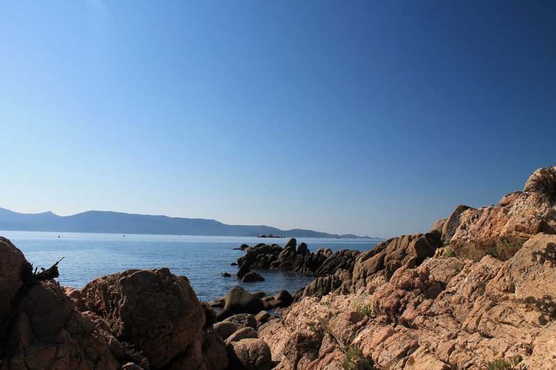
The Labrador Sea bordering countries are Canada and Greenland, and strictly speaking Greenland counts as Denmark. Canada owns the western shore: the coast of Labrador, part of Newfoundland’s northeast, and at the far north the edges of Quebec and Nunavut. Greenland owns the eastern shore, the long southwestern coast from Cape Farewell up toward Nuuk.
That’s it. No third country touches this water. Iceland sits well to the east on the far side of Greenland, and the United States is hundreds of kilometers south of the sea’s southern edge.
Labrador Sea facts at a glance
| Feature | Detail |
|---|---|
| Ocean | Arm of the North Atlantic |
| Bordering countries | Canada and Denmark (via Greenland) |
| Area | About 841,000 km² |
| Maximum depth | About 4,316 m (roughly 14,160 ft) |
| Northern connection | Davis Strait, leading to Baffin Bay |
| Western connection | Hudson Strait, leading to Hudson Bay |
| Southern and eastern opening | North Atlantic Ocean |
At about 841,000 km², the sea is slightly larger than Turkey. The depth is the figure that gets muddled online, because different pages quote different numbers for the basin and its margins. About 4,300 m is the number to use for the deepest point.
Where the Labrador Sea is
The sea fills the gap between the Labrador coast of Canada and the southwest coast of Greenland. On a map it looks like a wide funnel pointing north. At the narrow end, Davis Strait squeezes between Baffin Island and Greenland and opens into Baffin Bay. To the northwest, Hudson Strait slips between Baffin Island and northern Quebec and leads into Hudson Bay. At the wide end, the sea opens into the North Atlantic between Cape Farewell in Greenland and the coast of Newfoundland and Labrador.
Here’s the coastline in one place, which the top search results don’t give you.
Canadian side
- Newfoundland and Labrador: the whole Labrador coast, plus the northeastern edge of Newfoundland island
- Quebec: the northern tip of the Ungava Peninsula near Hudson Strait, under some definitions
- Nunavut: the southeastern edge of Baffin Island facing Davis Strait, under some definitions
Greenland side
- The southwest coast, from Cape Farewell in the south toward Nuuk and Davis Strait
The “under some definitions” caveat is real. The International Hydrographic Organization publishes the standard limits of the world’s oceans and seas, and Canadian government sources place the northern edge of the Labrador Sea in a different spot. Whether Nunavut and Quebec count as bordering depends on which line you trust. Labrador and Greenland are in every version.
Is Greenland a country?
Not in the legal sense, though the answer is more interesting than a flat no. Greenland is a constituent country of the Kingdom of Denmark, alongside the Faroe Islands and Denmark proper. Since 2009 it has run its own domestic affairs under a Self-Government Act, including fisheries and natural resources. Denmark keeps foreign policy and defense. Greenland has about 56,000 residents, most of them on the southwest coast facing this sea.
So if a quiz asks which countries border the Labrador Sea, “Canada and Greenland” and “Canada and Denmark” can both be defended. Which one gets the point depends on who wrote the quiz. For a treaty or legal answer, Denmark is the state. For a travel answer, you’d fly into Nuuk, and the place feels like its own country: its own language, Kalaallisut, its own flag, its own government.
The Canada-Denmark boundary
Canada and Denmark have shared a maritime border in this region since a 1973 agreement, but a stretch of the Labrador Sea seabed beyond the 200-nautical-mile limit, where countries can claim continental shelf rights, was left unsettled. In June 2022 the two governments signed an agreement that closed it. According to Global Affairs Canada, the deal set the boundary in the Labrador Sea and also resolved the decades-long dispute over Hans Island.
Hans Island is in Nares Strait, far to the north, not in the Labrador Sea. People mix the two up because both were settled in the same agreement. For the Labrador Sea, the result is a complete boundary line with no leftover patch of disputed seabed. That matters for anyone who ever wants to drill, fish or lay cable out there.
Currents, ice and icebergs
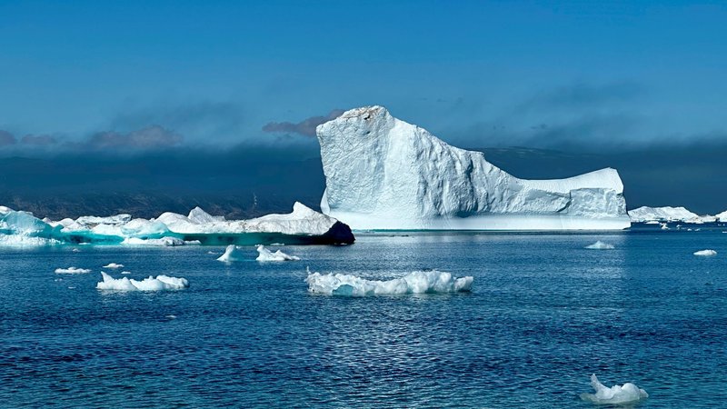
Two currents define the sea. The cold Labrador Current runs south along the Canadian coast, carrying Arctic water and icebergs toward Newfoundland. That’s the route icebergs take into the shipping lanes where the Titanic went down in 1912. On the Greenland side, the West Greenland Current carries a mix of Arctic water and warmer Atlantic water north.
The result is a lopsided sea. The Canadian side freezes in winter, and sea ice drifts south along the Labrador coast into spring. The southern Greenland side stays largely ice-free because of the warmer inflow.
The Labrador Sea is also one of the few places where surface water gets cold and dense enough in winter to sink more than a kilometer. That deep convection feeds the Atlantic’s overturning circulation, which is why oceanographers keep instruments here year-round. The Canadian Encyclopedia has a short overview of the sea’s physical setting.
Fisheries and wildlife
The cold, nutrient-rich water supports commercial fisheries. Northern shrimp and Greenland halibut are the headline catches, fished by both Canadian and Greenlandic fleets, which is why the boundary line matters to people on the water. Seals, whales and seabirds feed along the ice edge.
The Atlantic cod collapse of the early 1990s happened further south, on the Grand Banks off Newfoundland, but it shaped how both countries manage fisheries in the Labrador Sea today.
FAQ
What countries border the Labrador Sea? Canada and Denmark, with Denmark’s coast being Greenland.
Which Canadian provinces and territories touch it? Newfoundland and Labrador for certain. Quebec and Nunavut touch the northern end under some definitions.
How big is the Labrador Sea? About 841,000 km².
How deep is it? About 4,316 m at its deepest.
What waters connect to it? Baffin Bay through Davis Strait, and Hudson Bay through Hudson Strait.
Does Iceland border the Labrador Sea? No. Greenland lies between Iceland and the sea.