Explore a curated list of 10 notable Lakes in Jamaica, with clear details on type, parish locations (including lat/long), and area in km². Ideal for travelers, students, and geography enthusiasts seeking concise, map-ready facts and visit tips for each water body.
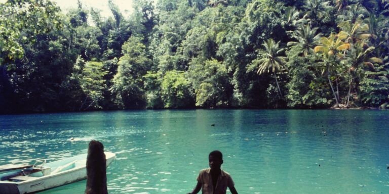
The Complete List of Ghost Towns In Indiana
This guide catalogs 68 Ghost Towns in Indiana, providing county, coordinates, and brief 30–50 word descriptions for each site. Perfect for history buffs, urban explorers, and travelers looking to locate and learn the stories behind Indiana’s abandoned and forgotten towns.
List of North Dakota – South Dakota Bordering Towns
This post provides a complete, easy-to-use list of the 14 North Dakota – South Dakota Bordering Towns, including their state, country, and latitude/longitude coordinates. Whether you’re planning a road trip, conducting research, or pinpointing locations on a map, this concise reference helps you quickly identify and locate each border town along the ND–SD state line.
The Complete List of Ghost Towns in Yukon
Explore a complete list of 15 Ghost Towns in Yukon, from Klondike-era mining camps to abandoned settlements across the territory. Each entry includes country, decimal coordinates, era and current status to help history buffs and visitors discover Yukon’s forgotten places.
The Complete List of Bays in Connecticut
Explore the complete list of 32 bays in Connecticut, each entry listing the town, GPS coordinates, and area in km². Ideal for boaters, researchers, and coastal enthusiasts, this guide provides quick-reference data and helpful context to locate, compare, and visit Connecticut’s bays – from popular harbors to hidden inlets. Maps and sortable data make it easy to plan trips or study coastal features.
Rivers in Trinidad and Tobago: The Complete List
This post lists all 50 Rivers in Trinidad and Tobago, with each entry showing island, length (km), and notable features or origin in a compact table. Ideal for students, researchers, conservationists and travelers seeking a definitive reference to major watersheds, mangroves and river mouths across both islands—explore maps and facts for every river.
The Complete List of Bays in Alabama
Explore the definitive list of 20 Bays in Alabama, with county names, precise coordinates, and area measurements to help anglers, boaters, researchers, and travelers plan visits or studies. This comprehensive guide makes it easy to locate, compare, and learn about Alabama’s coastal and inland bays—discover maps, facts, and where to explore next.
The Complete List of Indigenous Languages in Canada
A comprehensive, curated list of the 64 Indigenous Languages in Canada, organized by language family, province/territory region, and estimated number of speakers. This post highlights linguistic diversity across First Nations, Inuit, and Métis communities, offering quick-reference data and resources to support learning and preservation.
Costa Rica Ethnic Groups: The Complete List
This comprehensive guide lists all Costa Rica Ethnic Groups with population figures, percentage shares (by year), and main regions of residence. Useful for students, researchers, travelers and anyone curious about Costa Rican diversity, each entry includes concise demographic data and geographic notes to help you understand the country’s cultural landscape at a glance.
Montana – North Dakota Bordering Towns: The Complete List
This concise post lists every Montana – North Dakota Bordering Town with state, country and distance to the border (km). With just two entries presented in a clear table, find exact locations and distances at a glance — perfect for travelers, researchers, and anyone curious about the MT–ND border.
