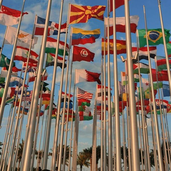
Most write-ups about North Dakota’s edges pick one border and stop. The Canada line gets all the attention because of the crossings and the lonely-prairie-town romance of it. But North Dakota touches four neighbors, and the towns that hug each border have completely different personalities. The Red River towns on the Minnesota side are twin cities with their own ZIP codes. The South Dakota line runs through farm country nobody outside the area thinks about. Montana’s edge is badlands and oil.
This is the single page that covers all four. For each town you’ll get the population, the county, the crossing or twin city it pairs with, and a straight answer on what’s actually there. No “hidden gem” filler.
Table of Contents
- The Canada Border: Crossings and Prairie Towns
- The Minnesota Border: Red River Twin Cities
- The South Dakota Border: Farm Country
- The Montana Border: Badlands and Oil
- Quick Comparison Table
- Border Crossing Logistics
- Frequently Asked Questions
The Canada Border: Crossings and Prairie Towns
North Dakota shares about 310 miles of border with Manitoba and Saskatchewan, and it has more land ports of entry than any other state — eighteen of them, scattered across the top of the map. Most are tiny. Some close at night. A few are open 24/7. These are the towns worth knowing.
Pembina
Population: ~500 · County: Pembina · Crossing: Pembina–Emerson (I-29 / Highway 75)
Pembina is the big one. It sits where Interstate 29 meets the Canadian border, pairing with Emerson, Manitoba, and it’s the busiest land crossing between the two countries for hundreds of miles in either direction. The crossing runs 24 hours a day, which is rare up here. The town itself is small and quiet, but it has a genuine claim: it’s one of the oldest European settlements in the state, with a fur-trade history that predates North Dakota statehood by decades. The Pembina State Museum has a seven-story observation tower if you want to see Canada from the inside.
Portal
Population: ~120 · County: Burke · Crossing: Portal–North Portal (Highway 52)
Portal is the western marquee crossing, paired with North Portal, Saskatchewan — the two towns literally share a name split across the line. It’s open 24/7 and handles a lot of commercial truck and rail traffic heading toward Saskatchewan’s oil and potash country. The Soo Line railroad runs straight through here. If Pembina is the eastern gate, Portal is the western one.
Neche
Population: ~360 · County: Pembina · Crossing: Neche–Gretna (Highway 18)
Neche sits on the Pembina River a few miles south of the border. The crossing into Gretna, Manitoba, is a daytime port — not 24-hour — and the town is the kind of place where the grain elevator is the tallest thing for miles. It’s small, agricultural, and unpretentious.
Walhalla
Population: ~900 · County: Pembina · Crossing: Walhalla–Winkler/Gretna area (Highway 32)
Walhalla is tucked into the Pembina Gorge, which is the closest North Dakota gets to having a canyon. The Tetrault Woods State Forest and the gorge’s recreation area make this one of the more scenic border towns — there’s actual hiking and trout in the Pembina River. The crossing is a smaller daytime port. Of all the Canada-line towns, this is the one you’d visit for the landscape rather than the logistics.
Langdon
Population: ~1,800 · County: Cavalier · Crossing: Hannah–Snowflake (nearby, Highway 5/1)
Langdon isn’t directly on the border, but it’s the service hub for the crossings north of it and shows up constantly in any conversation about this region’s economy. It anchors Cavalier County and serves the surrounding farms. Local feature reporting has used Langdon as a case study in how these small ND towns are weighing growth against the larger Manitoba centers just across the line.
Dunseith and the Peace Garden
Population: ~700 (Dunseith) · County: Rolette · Crossing: Dunseith–Boissevain (Highway 3)
This crossing leads to the International Peace Garden, a 2,300-acre botanical garden that straddles the U.S.–Canada line to commemorate peace between the two countries. It’s the reason North Dakota’s license plates say “Peace Garden State.” You can walk back and forth across the border inside the garden itself, which is a strange and genuinely pleasant thing to do. The crossing pairs Dunseith with Boissevain, Manitoba.
The Minnesota Border: Red River Twin Cities
The eastern border is the Red River of the North, and it’s a completely different story. This isn’t lonely prairie — it’s where North Dakota’s population actually lives. The river forms the state line, and the major towns here are halves of twin-city pairs, with a bridge separating the Dakota side from the Minnesota side. The big three covered below get most of the attention, but the river touches a string of smaller crossings too, and the full run of North Dakota–Minnesota bordering towns along the Red River fills in the communities between the major hubs. One thing to know: the Red River flows north, toward Canada, which is why this valley floods so dramatically in spring when the southern end thaws first.
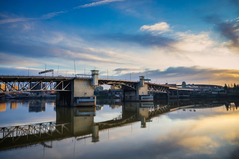
Fargo
Population: ~133,000 · County: Cass · Twin city: Moorhead, Minnesota
Fargo is the largest city in North Dakota, and the Red River is the only thing between it and Moorhead. The two function as one metro — people live on one side and work on the other without thinking about the state line. Downtown Fargo has been on a serious upswing for years, with a restaurant and brewery scene that surprises people expecting flat nothingness. The metro added the FM Area Diversion, a massive flood-control channel, after the catastrophic 2009 flood nearly took the city.
Grand Forks
Population: ~59,000 · County: Grand Forks · Twin city: East Grand Forks, Minnesota
Grand Forks pairs with East Grand Forks across the river. The University of North Dakota gives it a college-town energy, and the riverfront here was rebuilt with the Greater Grand Forks Greenway after the devastating 1997 flood that forced the evacuation of nearly the entire city. The Greenway is now 2,200 acres of parkland along both riverbanks — a flood plain turned into a recreation corridor, which is about the smartest thing a flood-prone river town can do.
Wahpeton
Population: ~7,800 · County: Richland · Twin city: Breckenridge, Minnesota
Wahpeton sits at the actual head of the Red River — this is where the Bois de Sioux and Otter Tail rivers meet to form it. It pairs with Breckenridge, Minnesota. The town is home to a 40-foot fiberglass catfish named Wahpper, which tells you most of what you need to know about the local sense of humor. It’s a working river town with an agricultural and manufacturing base.
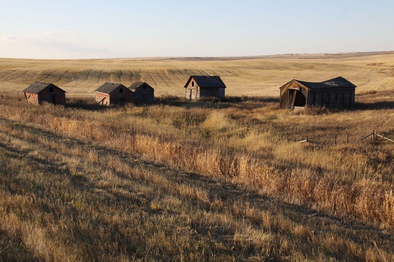
The South Dakota Border: Farm Country
The southern border is a straight surveyed line — the 7th standard parallel — rather than a river, so there are no dramatic twin cities here. It runs through some of the most agricultural land in the state. The towns are smaller and the border is more of a line on a county map than a place anyone stops at. If you want to see how thin they’re spread, the full rundown of North Dakota–South Dakota bordering towns catalogs all fourteen of them along the line.
Hankinson
Population: ~900 · County: Richland
Hankinson is the closest sizable ND town to the southeast corner, near where North Dakota, South Dakota, and Minnesota nearly meet. It sits in lake country — Lake Elsie and a cluster of glacial lakes make this a summer-cabin area, which is unusual for the otherwise dry southern tier.
Lidgerwood and Geneseo
Population: ~600 (Lidgerwood) · County: Richland
These small Richland County towns sit just north of the South Dakota line in flat, productive farm country. They’re grain-and-soybean communities — the kind of place that exists because the railroad and the elevators put it there. Nothing touristy, but they’re the real face of this border.
Ellendale
Population: ~1,300 · County: Dickey
Ellendale anchors the south-central border in Dickey County and is the largest town along this stretch. It has a historic main street and was once a college town — the buildings from that era still stand. It’s the service center for a wide swath of farmland reaching down to the South Dakota line.
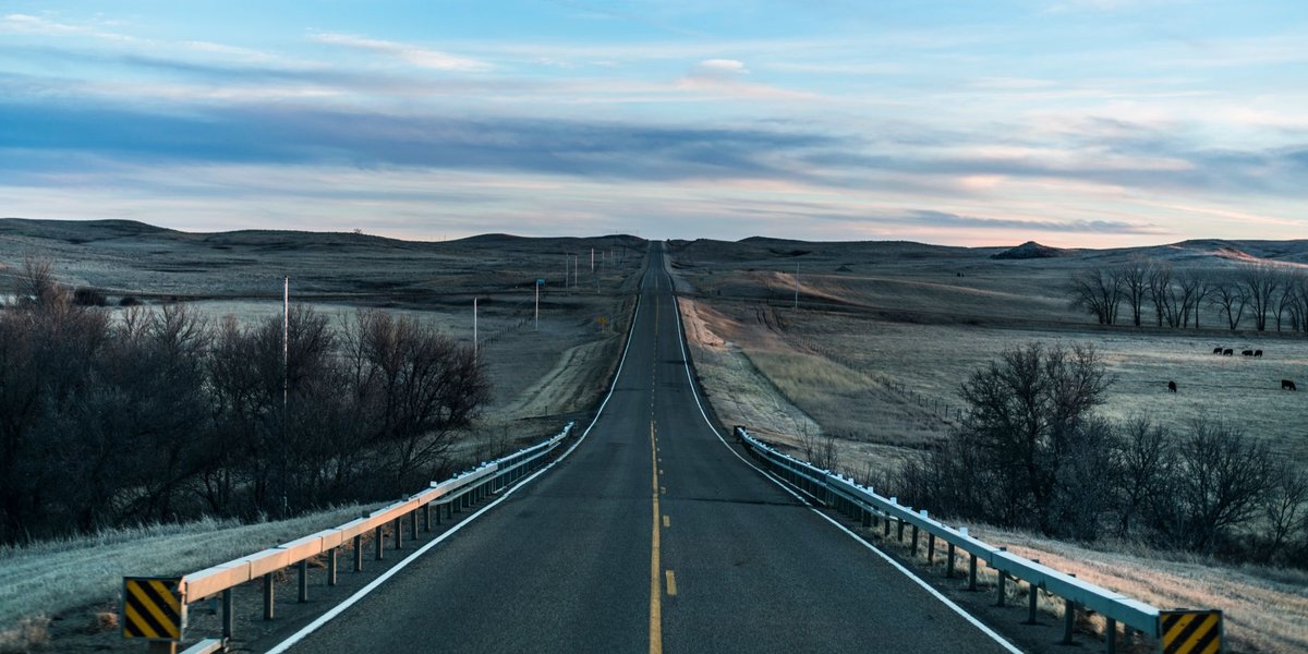
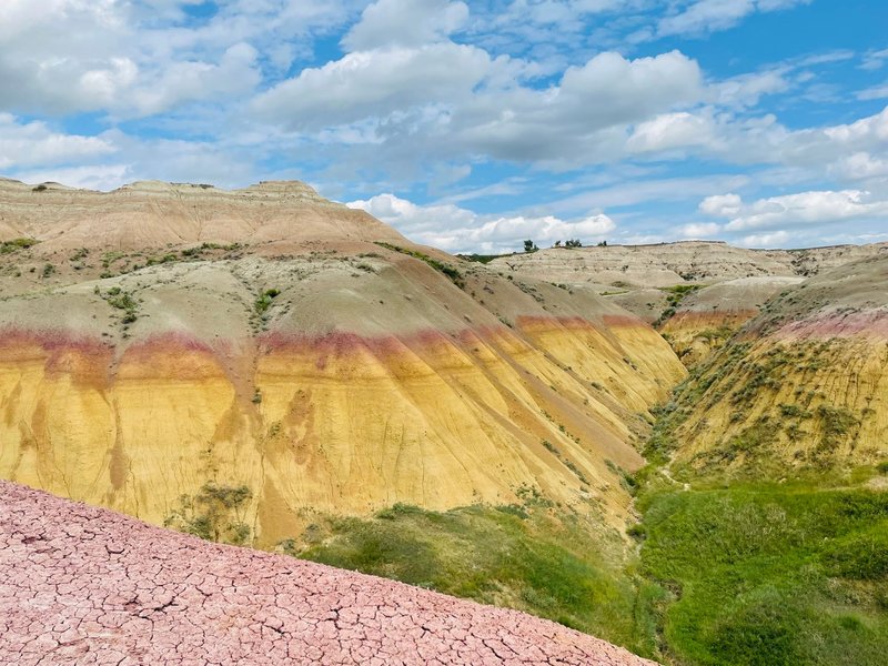
The Montana Border: Badlands and Oil
The western border is the 104th meridian, and the landscape changes hard out here. This is badlands and Bakken oil country — drier, rougher, and more dramatic than the eastern half of the state. The towns are spread thin and shaped by ranching and petroleum — in fact, the list of Montana–North Dakota bordering towns comes down to just two entries, which tells you how empty this corner is.
Beach
Population: ~1,000 · County: Golden Valley
Beach is the last North Dakota town on Interstate 94 before you cross into Wadena, Montana, and it’s the western gateway to the state for anyone driving the interstate. Despite the name, there’s no beach — it was named for a general. It’s the service stop closest to the Montana line on the main east-west route, and the badlands scenery picks up right around here.
Fairview
Population: ~700 · County: Williams (straddles into Montana)
Fairview is the strangest border town in the state. The town itself sits mostly on the Montana side, but its boundary crosses into North Dakota, and the historic Snowden Lift Bridge nearby once carried both rail and car traffic across the Yellowstone River. There’s also the Cartwright Tunnel — North Dakota’s only railroad tunnel — just across the river. This is deep in oil country; the Bakken boom reshaped this whole corner.
Williston (nearby)
Population: ~29,000 · County: Williams
Williston isn’t on the Montana line, but it’s the regional capital of the northwest and the city that boomed hardest during the Bakken oil rush. It serves the entire Montana-border region. If you’re traveling the western edge, this is where the hotels, the airport, and the supplies are. It’s also where you’ll see the clearest evidence of how oil money rebuilt — and strained — a small Western city in under a decade.
Quick Comparison Table
| Town | Border | Pairs With | Population | County |
|---|---|---|---|---|
| Pembina | Canada | Emerson, MB | ~500 | Pembina |
| Portal | Canada | North Portal, SK | ~120 | Burke |
| Neche | Canada | Gretna, MB | ~360 | Pembina |
| Walhalla | Canada | Pembina Gorge area | ~900 | Pembina |
| Dunseith | Canada | Boissevain, MB | ~700 | Rolette |
| Fargo | Minnesota | Moorhead, MN | ~133,000 | Cass |
| Grand Forks | Minnesota | East Grand Forks, MN | ~59,000 | Grand Forks |
| Wahpeton | Minnesota | Breckenridge, MN | ~7,800 | Richland |
| Hankinson | South Dakota | — | ~900 | Richland |
| Ellendale | South Dakota | — | ~1,300 | Dickey |
| Beach | Montana | Wadena, MT | ~1,000 | Golden Valley |
| Fairview | Montana | (straddles line) | ~700 | Williams |
Border Crossing Logistics
The Canada crossings are the only borders here that involve actual checkpoints — the Minnesota, South Dakota, and Montana lines are just state borders you drive across without stopping. So this section is about the northern edge.
Not every crossing is open around the clock. Only a handful run 24/7 — Pembina–Emerson (the main I-29 crossing) and Portal–North Portal are the two reliable all-hours ports. Most of the smaller ones, like Neche, Hansboro, and Maida, are daytime-only, with hours that can be as short as 9 a.m. to 5 p.m. and sometimes shorter in winter. Check the U.S. Customs and Border Protection port hours before you plan a route through a small crossing, because showing up at a closed port means a long detour.
If you cross frequently, NEXUS is worth it — the trusted-traveler program speeds up the line at the larger ports, and Pembina has a NEXUS lane. For a one-time tourist run to the Peace Garden, a regular passport is all you need. Bring it; a driver’s license alone won’t get you back across anymore.
Frequently Asked Questions
How many border crossings does North Dakota have with Canada? Eighteen land ports of entry, more than any other U.S. state. They range from the busy 24-hour Pembina crossing to tiny daytime ports that see only a handful of vehicles a day.
What is the busiest North Dakota–Canada border crossing? Pembina–Emerson, on Interstate 29. It’s open 24 hours and handles the bulk of both passenger and commercial traffic between North Dakota and Manitoba.
Which North Dakota towns are twin cities with Minnesota towns? Fargo pairs with Moorhead, Grand Forks pairs with East Grand Forks, and Wahpeton pairs with Breckenridge. The Red River forms the state line between each pair.
Can you visit the International Peace Garden without crossing into Canada? Yes. You can enter the garden from the U.S. side and walk around the American portion, but to see the full garden you’ll cross into the shared border zone — bring a passport, because you’ll need it to re-enter the U.S.
Is the Portal, North Dakota port of entry open 24 hours? Yes. Portal–North Portal is one of the few North Dakota crossings open around the clock, handling significant truck and rail traffic into Saskatchewan.
North Dakota’s four borders don’t have much in common. One’s a river full of college towns, one’s a quiet farm line, one’s oil and badlands, and one’s a string of lonely crossings into the Canadian prairie. Knowing which town pairs with which neighbor — and which crossing actually stays open after dark — is the difference between a smooth trip and a two-hour backtrack at a locked gate.