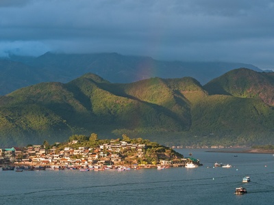
Vietnam’s coastline stretches for thousands of kilometers and hosts a patchwork of bays that shape local livelihoods, transport routes and seaside scenery. From fishing villages to offshore islands, each bay has its own mix of geography and human activity worth noting.
There are 23 Bays in Vietnam, ranging from Bai Tu Long Bay to Vung Tau Bay; for each entry you’ll find below Province/Region, Coordinates (lat, long), Area (km²), and concise notes on location and scale — you’ll find below.
How can I use this list to choose which bays to visit?
Look at Province/Region and Coordinates (lat, long) to map travel logistics, then use Area (km²) to gauge how spread-out a bay is and whether it suits day trips or multi-day exploration; check local access, ferry schedules and conservation rules before planning.
Are the coordinates and area figures precise enough for navigation?
The coordinates and area figures are provided for reference and planning; they’re suitable for trip preparation but not for navigation — always consult official nautical charts, local authorities and tide tables if you’ll be on the water.
Bays in Vietnam
| Name | Province/Region | Coordinates (lat, long) | Area (km²) |
|---|---|---|---|
| Ha Long Bay | Quang Ninh (North) | 20.91,107.18 | 1,550 |
| Bai Tu Long Bay | Quang Ninh (North) | 21.25,107.45 | 1,200 |
| Lan Ha Bay | Hai Phong/Quang Ninh (North) | 20.78,107.05 | 260 |
| Van Don Bay | Quang Ninh (North) | 20.95,107.60 | 150 |
| Nghi Son Bay | Thanh Hoa (North-Central) | 20.10,106.90 | 200 |
| Da Nang Bay | Da Nang (Central) | 16.07,108.22 | 30 |
| Lang Co Bay | Thua Thien-Hue (Central) | 16.26,107.73 | 10 |
| Chu Lai Bay | Quang Nam (Central) | 15.53,108.77 | 80 |
| Sa Huynh Bay | Quang Ngai (Central) | 15.00,108.70 | 60 |
| Dung Quat Bay | Quang Ngai (Central) | 15.25,108.72 | 80 |
| Vung Ro Bay | Phu Yen (Central) | 12.60,109.35 | 40 |
| Vinh Hy Bay | Ninh Thuan (Central) | 11.93,109.29 | 20 |
| Van Phong Bay | Khanh Hoa (Central) | 12.50,109.15 | 600 |
| Nha Trang Bay | Khanh Hoa (Central) | 12.24,109.19 | 500 |
| Cam Ranh Bay | Khanh Hoa (Central) | 11.96,109.22 | 300 |
| Thi Nai Bay | Binh Dinh (Central) | 13.77,109.20 | 100 |
| Phan Thiet Bay | Binh Thuan (South-Central) | 10.93,108.12 | 60 |
| Ke Ga Bay | Binh Thuan (South-Central) | 10.50,108.90 | 20 |
| Vung Tau Bay | Ba Ria–Vung Tau (South) | 10.35,107.07 | 40 |
| Rach Gia Bay | Kien Giang (South) | 9.98,105.08 | 80 |
| Ha Tien Bay | Kien Giang (South) | 10.37,104.47 | 50 |
| Ganh Dau Bay | Phu Quoc (Kien Giang, South) | 10.35,103.95 | 30 |
| Hon Chong Bay | Khanh Hoa (Central) | 12.27,109.20 | 15 |
Images and Descriptions
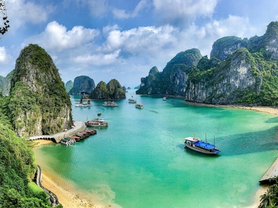
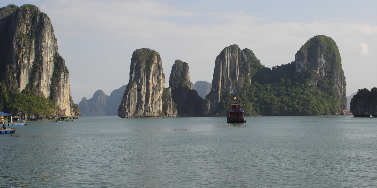
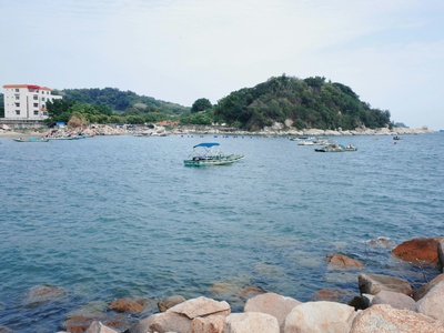
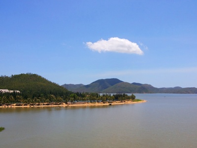
Ha Long Bay
World-famous karst bay in northeastern Vietnam with thousands of limestone islets and caves. UNESCO site popular for boat cruises, kayaking and overnight junks; go early morning to avoid crowds and visit Sung Sot Cave and floating fishing villages.
Bai Tu Long Bay
Lies east of Ha Long Bay with similar karst scenery and fewer tourists. Offers tranquil boat trips, secluded lagoons and island hikes; a good alternative for multi-day cruises and wildlife-spotting away from Ha Long’s busiest anchorages.
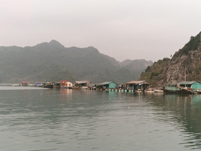
Lan Ha Bay
Adjacent to Cat Ba Island, Lan Ha Bay features emerald water, hidden beaches and limestone towers. Favoured for kayaking, swimming and homestay islands; stay on Cat Ba for easy access and quieter anchorages than Ha Long proper.
Van Don Bay
A sheltered bay around Van Don archipelago with deep-water ports and island scenery. Increasingly developed but still offers fishing islands and diving spots; ideal as a quieter base for exploring nearby karst landscapes.
Nghi Son Bay
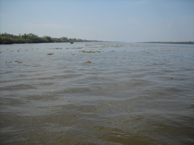
Coastal bay hosting Nghi Son economic zone and fishing communities in Thanh Hoa province. Mix of industry and scenic shoals; visitors can combine coastal viewpoints with local seafood sampling and nearby rural beaches.

Da Nang Bay
The urban bay fronting Da Nang city with beaches, bridges and Son Tra peninsula. Convenient for city-based beach days, sunrise views and short island trips; avoid noisy shipping lanes and head toward Son Tra for nature trails.
Lang Co Bay
A picturesque horseshoe bay between Hue and Da Nang, known for a white-sand beach and the scenic Hai Van Pass nearby. Great for swimming and seafood; stop en route between Hue and Hoi An for spectacular coastal views.
Chu Lai Bay
Bay near the Chu Lai economic and port area with coastal islands and fishing communities. Lesser-known for tourism but useful for understanding Vietnam’s maritime logistics; boat trips and local seafood markets available.
Sa Huynh Bay
Historic coastal bay with fishing traditions and Sa Huynh archaeological finds. Offers rugged coastline, quiet beaches and authentic local life; best visited with a local guide to learn about the area’s maritime culture.
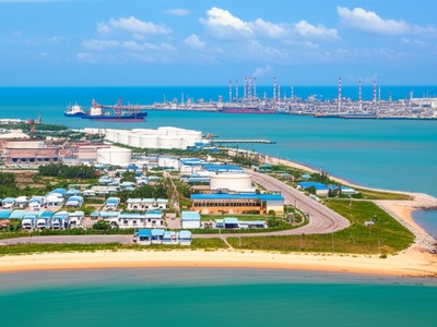
Dung Quat Bay
Industrialised natural bay that hosts Dung Quat oil refinery and deep-water port facilities. Despite industry, nearby beaches and coastal villages persist; useful stop for travellers interested in Vietnam’s modern maritime economy.

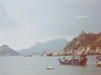
Vung Ro Bay
Scenic, sheltered bay with clear water, offshore islets and wartime history. Popular for snorkelling, fishing trips and quiet beaches; reach by coastal road from Tuy Hoa and bring snorkeling gear for nearby reefs.

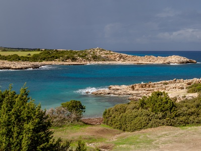
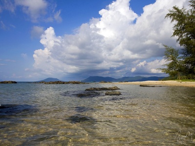
Vinh Hy Bay
Small, calm bay with turquoise water and a marine protected area; dramatic cliffs and coral communities attract snorkelers and photographers. Limited facilities—bring supplies and consider a boat tour to the marine park.
Van Phong Bay
Large deep-water bay north of Nha Trang with islands and potential port developments. Good for island-hopping, diving and fishing; use it as a quieter base to explore offshore islets and local fisheries.
Nha Trang Bay
A wide, scenic bay dotted with islands and coral reefs; Nha Trang city offers beaches, diving and vibrant nightlife. Ideal for day cruises to Hon Mun and snorkeling; choose reputable operators to visit marine-protected sites.
Cam Ranh Bay
One of the world’s finest natural deep-water harbours, Cam Ranh is strategically sheltered with clear waters. Known for beaches and naval history; ideal for diving and as access point to Con Dao and Nha Trang regions.
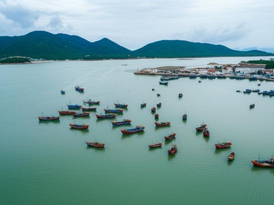
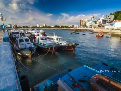
Thi Nai Bay
The bay serving Quy Nhon (Thi Nai) with fishing ports, sandbars and coastal scenery. Popular for sampling local seafood and boat trips; visit the seaside promenade and nearby Cham tower sites in Quy Nhon.
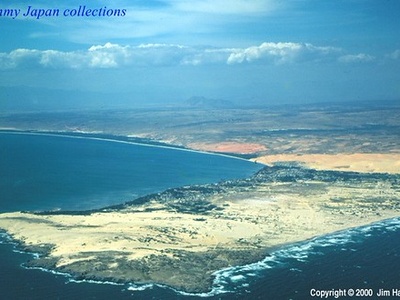
Phan Thiet Bay
Bayfront to Phan Thiet and Mui Ne with long beaches, sand dunes and kite-surfing spots. Popular for wind- and watersports; head to Mui Ne for dunes at dawn and sheltered island excursions.
Ke Ga Bay
Small bay near Ke Ga Cape and its iconic lighthouse, offering rocky shores and clear water. Attractive for short coastal trips and photography; combine with local fishing villages and fresh seafood.
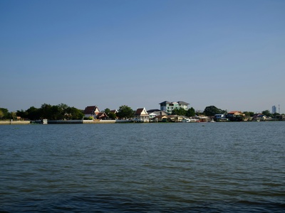
Vung Tau Bay
The bay abutting Vung Tau city, a classic weekend beach destination from Ho Chi Minh City. Offers beaches, viewpoints and maritime traffic; visit early for quieter beaches and seafood at the waterfront.
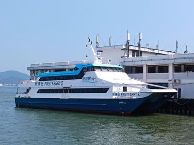
Rach Gia Bay
Coastal bay near Rach Gia city and gateway to offshore islands including Phu Quoc. Active fishing ports and ferry routes make it a travel hub; explore nearby islands or sample Gulf seafood specialties.
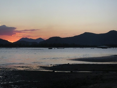
Ha Tien Bay
Bay at Vietnam’s far southwest near the Cambodian border with limestone islets and cross-border trade links. Known for relaxed coastal towns and sunset views; combine with boat trips to nearby island outcrops.
Ganh Dau Bay
Northern Phu Quoc bay with rocky capes, clear water and views toward Cambodia. Good for snorkeling, fishing trips and sunset watching; quieter than western Phu Quoc beaches and easy to reach by road.
Hon Chong Bay
Small bay near Hon Chong (stone stacks) in Nha Trang with dramatic rock formations and easy coastal access. Popular for short visits and photos; combine with a beach stop and seafood stalls along the waterfront.