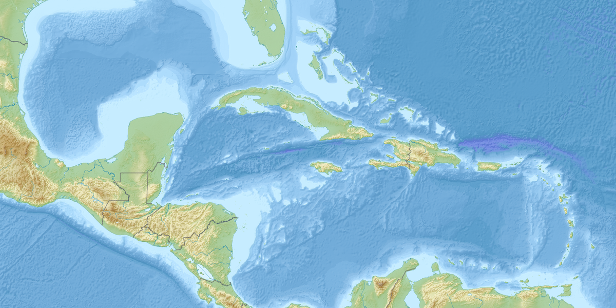
The Gulf of Mexico shapes weather, commerce, and coastal life across a mix of island and continental shores, so knowing which countries touch it helps make sense of regional connections. This list focuses on those immediate neighbors and what their coastlines look like.
There are 3 Gulf of Mexico Bordering Countries, ranging from Cuba to United States. For each, the table lists Flag,Coastline length (km),Gulf states/provinces — you’ll find below.
Gulf of Mexico Bordering Countries
| Country | Flag | Coastline length (km) | Gulf states/provinces |
|---|---|---|---|
| United States | 🇺🇸 | 4,600 | Florida, Alabama, Mississippi, Louisiana, Texas |
| Mexico | 🇲🇽 | 3,200 | Tamaulipas, Veracruz, Tabasco, Campeche, Yucatán |
| Cuba | 🇨🇺 | 1,200 | Pinar del Río, Artemisa, Havana, Mayabeque, Matanzas |
Images and Descriptions
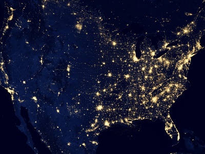
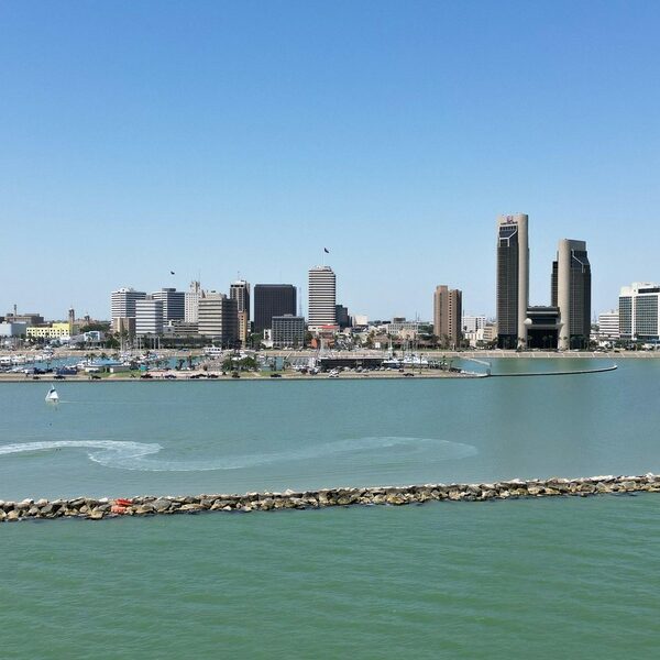
United States
The United States has a long Gulf coastline along Texas, Louisiana, Mississippi, Alabama and Florida’s Gulf side. It includes major ports, barrier islands, extensive wetlands and the Mississippi River delta, crucial for commerce, ecology and hurricane impacts.
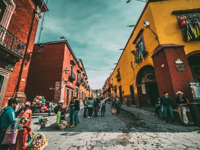
Mexico
Mexico’s Gulf coast stretches along Tamaulipas, Veracruz, Tabasco, Campeche and Yucatán, featuring wide beaches, important oil fields, river deltas and the Yucatán Channel. Ports like Veracruz connect inland Mexico to Gulf trade and cultural coastal regions.
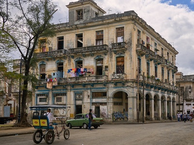
Cuba
Cuba’s northwestern provinces border the Gulf of Mexico and Yucatán Channel; its coastline has cliffs, sandy beaches and mangroves. Western Cuban ports and coastal habitats influence regional currents and marine life between the Gulf, the Straits of Florida and the Caribbean.