
TLDR
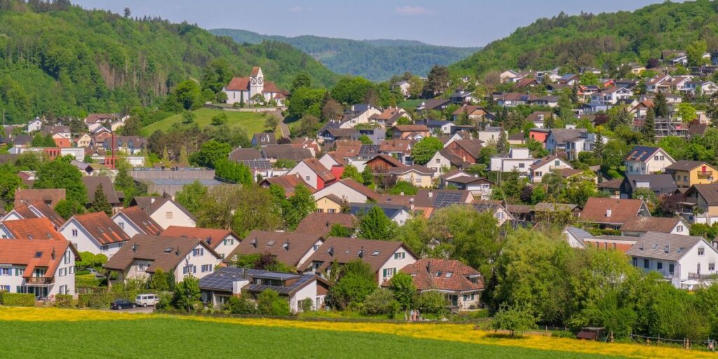
The Ohio-Michigan line runs west to east across six counties: Williams, Fulton and Lucas in Ohio, and Hillsdale, Lenawee and Monroe in Michigan. The towns that matter most are Morenci (Michigan’s southernmost city, facing Fayette, Ohio), Lambertville and Temperance in Bedford Township (right against Toledo), Ottawa Lake and Erie in Monroe County, and the Lost Peninsula, a Michigan neighborhood you can only reach by driving through Ohio.
Contents
- Why the line sits where it does
- Williams County, Ohio and Hillsdale County, Michigan
- Fulton County, Ohio and Lenawee County, Michigan
- Lucas County, Ohio and Monroe County, Michigan
- Quick-reference table
- Living and commuting across the line
- Summary
Why the line sits where it does
Most state lines follow a river or a mountain ridge. This one follows a surveying argument. The Northwest Ordinance of 1787 described the boundary using maps that turned out to be wrong, and when Ohio wrote its constitution in 1802 it put the mouth of the Maumee River inside its borders. The two lines that resulted, Ohio’s Harris Line and Michigan’s Fulton Line, left a strip of land between them roughly 5 to 8 miles wide.
That strip is the Toledo Strip, about 468 square miles, with the port of Toledo at its eastern end. Both sides sent militia in 1835. The only blood spilled, according to Britannica’s account of the Toledo War, came when Ohio partisan Two Stickney stabbed Michigan deputy sheriff Joseph Wood with a penknife. Wood survived. The day it happened, July 15, 1835, is the closest thing the war has to a headline date.
Congress settled it in 1836. Ohio kept the strip, and Michigan got statehood plus the western Upper Peninsula, which turned out to hold copper and iron worth far more than a river mouth. The line was resurveyed in 1915 and marked with 71 granite markers, and the governors of both states shook hands at the border.
Today that line is why a Michigan neighborhood gets its water from Toledo.
Williams County, Ohio and Hillsdale County, Michigan
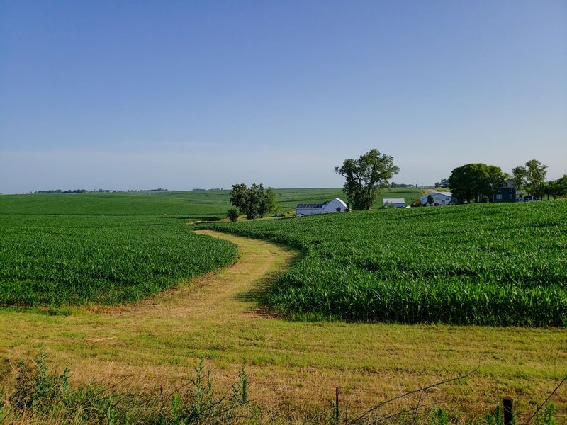
The western stretch is farm country, and the towns here are small enough that “border town” mostly means a grain elevator and a school.
Pioneer, Ohio (Williams County). Pioneer had 1,429 residents in 2020 and sits just south of the line in Ohio’s northwest corner. It is the kind of place where a two-minute drive north puts you in another state’s township roads.
Camden, Michigan (Hillsdale County). Camden is a village of 496 people on M-49, a few miles north of the state line. It is the Michigan counterpart for Pioneer and its neighbors. Camden is not on the line itself, but the farmland between the two towns is the stretch where the Ohio-Michigan boundary is most invisible: same crops, same weather, different license plates.
If you are driving this section, there is little to see beyond the state change. The reason to include it is completeness. Competing pages skip it, and it fills in the western third of the line.
Fulton County, Ohio and Lenawee County, Michigan
The middle of the line has the best-defined pair of towns.
Morenci, Michigan (Lenawee County). Morenci is the southernmost city in Michigan, with 2,270 residents in 2020, and it shares its southern boundary with Ohio. That makes it the most literal border city on the Michigan side. An 1872 railway ran from Morenci south to Fayette, Ohio, which tells you which way the town’s trade has always leaned.
Fayette, Ohio (Fulton County). Fayette is Morenci’s Ohio counterpart, a short drive south, and the other end of that 1872 rail line.
Lyons, Ohio (Fulton County). Lyons is a village of 602 people in Royalton Township. It started as Morey’s Corners and grew after a plank road arrived in 1850. Its First Universalist Church, built in 1868, is the oldest non-residential building in the township.
Lucas County, Ohio and Monroe County, Michigan
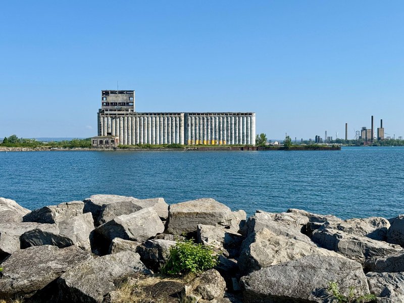
This is where the line stops being rural. Toledo’s metro area spills across it, and the border towns here are suburbs more than villages.
Lambertville and Temperance, Michigan (Bedford Township). Bedford Township in Monroe County had 31,813 residents in 2020 and shares its southern border with the city of Toledo. Lambertville sits in the southwest part of the township, and Temperance near the center. Both are unincorporated communities. Both have Michigan addresses and Michigan schools, with Toledo next door. The Toledo Strip fight was about this exact geography: a Michigan community whose commercial center of gravity sits in Ohio.
Sylvania, Ohio. Sylvania is Toledo’s western suburb and the nearest Ohio city to Bedford Township. If you live in Lambertville, it is probably where you shop.
Ottawa Lake, Michigan (Whiteford Township). Ottawa Lake is an unincorporated community in Monroe County, about 3 miles north of the Ohio border as measured from Sylvania. It is the quieter alternative to Bedford, mostly farms and a small-airport neighbor: the Toledo Suburban Airport is in Whiteford Township, despite the name.
Erie, Michigan (Erie Township). Erie sits about 4 miles north of the Ohio line and 2 miles west of Lake Erie, on M-125, which locals call South Dixie Highway. St. Joseph Catholic Church, built in 1851, is among the oldest church buildings in Monroe County. A 1965 plaque in Erie commemorates the state line.
Toledo, Ohio. The city the whole dispute was about. Toledo’s northern edge touches Michigan, and the Lost Peninsula sits just beyond it.
The Lost Peninsula
The most unusual spot on the whole border is the Lost Peninsula, about 250 acres in Michigan with roughly 140 residents. It is attached to Ohio and has no road connection to the rest of Michigan. According to WMMQ’s Lost Peninsula report, residents drive about 10 minutes south into Lucas County, Ohio, before turning north again. Children who attend Michigan schools ride the bus through Ohio, and the water and sewer service come from the City of Toledo.
It is Michigan on the map and Ohio on every practical level. The 1835 dispute left it stranded, and no one has ever bridged the gap.
Quick-reference table
| Town | State | County | Facing | Notes |
|---|---|---|---|---|
| Pioneer | Ohio | Williams | Hillsdale County, MI | 1,429 residents (2020) |
| Camden | Michigan | Hillsdale | Williams County, OH | 496 residents (2020) |
| Morenci | Michigan | Lenawee | Fayette, OH | Southernmost city in Michigan; 2,270 residents |
| Fayette | Ohio | Fulton | Morenci, MI | Linked to Morenci by an 1872 railway |
| Lyons | Ohio | Fulton | Lenawee County, MI | 602 residents (2020) |
| Lambertville | Michigan | Monroe | Toledo, OH | Bedford Township; 31,813 residents in the township |
| Temperance | Michigan | Monroe | Toledo, OH | Bedford Township |
| Sylvania | Ohio | Lucas | Bedford Township, MI | Toledo suburb |
| Ottawa Lake | Michigan | Monroe | Sylvania, OH | About 3 miles north of the line |
| Erie | Michigan | Monroe | Toledo, OH | About 4 miles north of the line |
| Lost Peninsula | Michigan | Monroe | Toledo, OH | Reachable only through Ohio; about 140 residents |
| Toledo | Ohio | Lucas | Monroe County, MI | The city the 1835 dispute was about |
Distances are approximate. If you need a legal boundary, check the county GIS map, not a town list.
Living and commuting across the line
The practical questions are the ones nobody answers. Here is what the border changes in daily life.
- Commuting. Bedford Township residents commonly work in Toledo, so the commute crosses a state line without anyone noticing. Michigan and Ohio each tax income their own way, so anyone working across the line should check the rules for both states.
- Schools. Students go to schools in their home state’s district, even when the nearest town is across the line. The Lost Peninsula is the extreme case, with school buses that travel through Ohio.
- Utilities. Services follow the nearest working infrastructure, not the state line. The Lost Peninsula’s Toledo water is the clearest example.
- Lake Erie access. Toledo and Monroe County both have shoreline, but Monroe County’s Erie State Game Area covers 3,221 acres just east of Erie, which makes it the better place for open shoreline walking.
Summary
The Ohio-Michigan line is short on dramatic towns and long on odd ones. Morenci and Fayette are the cleanest pair of border neighbors, Lambertville and Temperance show what a state line looks like when a metro area ignores it, and the Lost Peninsula is the reason the 1835 dispute still has a living address. If you are planning a trip along the Ohio-Michigan border towns, drive it west to east: Pioneer and Camden for farmland, Morenci and Fayette for small-town rivalry, and Bedford Township, Erie and Toledo for the place where the Toledo War actually happened. For the history behind it, the Ohio Memory archive on the Toledo War has primary sources.