
TLDR
Ten Connecticut towns touch New York State. Seven are in Fairfield County: Greenwich, Stamford, New Canaan, Ridgefield, Danbury, New Fairfield and Sherman. Three are in Litchfield County: Kent, Sharon and Salisbury. Most “near NYC” lists name only Greenwich and Stamford, which is why this one exists.
Contents
- The full list at a glance
- Fairfield County: the western edge
- Litchfield County: the quiet northwest
- Why the line looks the way it does
- Crossing, commuting and living on the line
The full list at a glance
“Close to New York City” and “borders New York State” are different questions. Plenty of towns people call Connecticut’s New York suburbs, like Darien and Norwalk, sit entirely inside Connecticut and never touch the line. The towns below do.
| # | Connecticut town | County | Across the line in New York |
|---|---|---|---|
| 1 | Greenwich | Fairfield | Port Chester, Rye Brook, Armonk (Westchester) |
| 2 | Stamford | Fairfield | Pound Ridge (Westchester) |
| 3 | New Canaan | Fairfield | Pound Ridge (Westchester) |
| 4 | Ridgefield | Fairfield | Lewisboro / South Salem (Westchester) |
| 5 | Danbury | Fairfield | Southeast / Brewster (Putnam) |
| 6 | New Fairfield | Fairfield | Patterson (Putnam) |
| 7 | Sherman | Fairfield | Pawling (Dutchess) |
| 8 | Kent | Litchfield | Dover (Dutchess) |
| 9 | Sharon | Litchfield | Amenia, North East (Dutchess) |
| 10 | Salisbury | Litchfield | North East (Dutchess), Columbia County |
Fairfield County: the western edge

1. Greenwich. The southernmost border town and the only one with a real urban neighbor. The Byram River marks much of the line, and on the other bank sits Port Chester, a village in the Town of Rye, with Rye Brook just north of it. Head farther up and Greenwich’s back-country meets Armonk, in the Town of North Castle. You can cross from one state to the other on foot in a few minutes.
2. Stamford. Most people think of Stamford as a coastal city, but its northwest corner is wooded hill country that runs into Pound Ridge, New York. Different state, same stone walls and two-acre lots.
3. New Canaan. A short stretch of New Canaan’s northwestern edge also touches Pound Ridge, which means the Westchester town has two Connecticut neighbors at once. It’s the least-noticed border on the list.
4. Ridgefield. The border here runs along the edge of Lewisboro, New York. South Salem, the Lewisboro hamlet, is close enough to Ridgefield’s Main Street that the two share a school-sports rivalry, a lot of the same grocery runs and some of the same horse farms.
5. Danbury. The biggest border town after Stamford, and the first one where the New York side is Putnam County rather than Westchester. Danbury’s western edge meets the Town of Southeast, which contains the village of Brewster and its Metro-North station.
6. New Fairfield. Lake Candlewood fills much of this town, but its western side is rural Connecticut running up against Patterson, in Putnam County. Fewer people cross here than almost anywhere on the line.
7. Sherman. The last Fairfield County town and the northernmost of the “panhandle” group. Across the line is Pawling, in Dutchess County. The Appalachian Trail crosses from New York into Connecticut in this area, a few miles from the Pawling side. The National Park Service lists the trail’s route through the state.
Litchfield County: the quiet northwest
The Litchfield County towns are what the top-ranking lists skip entirely. There are no commuter rail lines, no outlet malls and not much traffic.

8. Kent. Kent faces Dover in Dutchess County, across a ridge line. Kent Falls and the Housatonic River draw the visitors; the New York border is something you’d only notice on a map or a county road sign.
9. Sharon. Sharon abuts Amenia and the Town of North East. Amenia has farmland, orchards and a Metro-North stop in Wassaic, a few miles from the Connecticut line.
10. Salisbury. The northernmost town on the border. Salisbury meets the Town of North East (the area around Millerton) and, farther north, Columbia County. Its highest ground reaches into the Taconic Mountains, and the tri-state point where Connecticut, New York and Massachusetts meet sits close to its northwest corner.
Why the line looks the way it does
The shape comes from a deal that took almost fifty years to finish. In 1683, Connecticut and New York agreed on a border that ran north from Long Island Sound about 20 miles east of the Hudson River. That line was easy to describe and hard to survey, and the two colonies spent decades arguing about where it fell on the ground.
The fix came in 1731. Connecticut gave New York a long, narrow strip along its western edge, known as the Oblong. In return, New York kept to the agreed line and left Connecticut with a wedge of land along the Sound, the Fairfield County “panhandle” that gives Greenwich and Stamford their current outline. That’s why the map of Connecticut has a bump at the southwest corner and a notch where the Oblong runs along the Dutchess County line.
New York’s modern boundary is still written into state law. The New York State Senate publishes the statute that describes the Connecticut line.
Crossing, commuting and living on the line
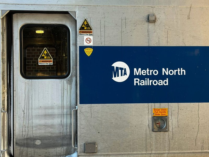
Crossing the line takes no passport and no stop. The only signs are a “Welcome to Connecticut” sign on the highway and a change in the road surface. Interstate 95 crosses at the Byram River, and the Metro-North New Haven Line runs from Port Chester into Greenwich on the same corridor.
A few practical notes for the people who actually live here:
- Taxes. If you live in Connecticut and work in New York, you’ll file a nonresident return in New York. Check both states’ rules before you sign a lease.
- Commutes. Greenwich and Stamford have the strongest rail service. Danbury has its own Metro-North branch, which is the only Connecticut border town not on the main New Haven Line. Litchfield County towns have none.
- Schools and services. Each town’s district is set by the town, not the state line. A South Salem address can be minutes from Ridgefield and still sit in a different district, state and tax bracket.
- Price. Housing costs in the southwestern towns run well above the state median. The drop-off as you move north is steep.
If you’re picking a place to live, the border matters less than the train. If you’re just curious, the line is a good excuse to drive the length of it: Greenwich at one end, Salisbury at the other, and about 90 miles of stone walls in between.