Djibouti’s landscape is defined by stark deserts, volcanic craters and salty depressions that punctuate the Horn of Africa; its few bodies of water play outsized roles in local ecology and travel itineraries. Even in an arid country, these lakes tell stories of tectonics, evaporation and salt flats that shape the region’s scenery.
There are 2 Lakes in Djibouti, ranging from Lake Abbe to Lake Assal; for each, data is organized as Coordinates (lat,lon),Area (km2),Notes, which you’ll find below.
Are these lakes easy to visit and what should I expect?
Both lakes are reachable but conditions vary: Lake Assal is a more accessible tourist spot near roads with dramatic salt flats and extreme salinity, while Lake Abbe requires more planning and often a 4×4 and local guide to navigate rough terrain; expect high temperatures, limited facilities and the need to bring water and fuel.
Why are there so few lakes in Djibouti?
The country’s arid climate, high evaporation rates and rift-related geology limit persistent freshwater bodies; where water collects it often becomes saline or seasonal, so only a couple of notable lakes form and persist.
Lakes in Djibouti
| Name | Coordinates (lat,lon) | Area (km2) | Notes |
|---|---|---|---|
| Lake Assal | 11.5500,42.3667 | 54.00 | saline; Africa’s lowest point, 155 m below sea level, popular viewpoint |
| Lake Abbe | 11.2150,41.8667 | 100.00 | saline; border lake with limestone chimneys and hot springs, scenic and remote |
Images and Descriptions
Lake Assal
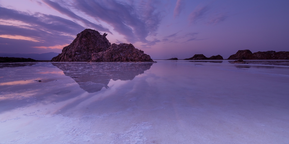
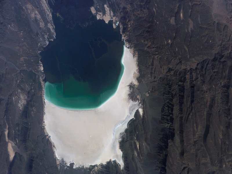
Lake Assal sits in the Afar Depression in central Djibouti. It lies at the lowest land point in Africa, about 155 meters below sea level. It is a shallow, highly saline lake and one of the saltiest on Earth. Salt flats and small salt-extraction operations ring the shore. Volcanic ground and hot springs sit nearby. The site is visible from a roadside rim and draws tourists and scientists for its stark landscape and salt industry. Coordinates are about 11.5°N, 42.4°E.
Lake Abbe
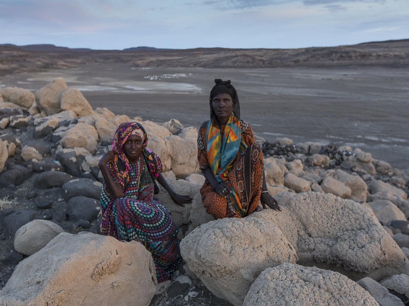
Lake Abbe lies on Djibouti’s southern border with Ethiopia on a dry plain. It is a shallow, saline lake fed by the Awash River across the border. The shoreline shifts with seasons and rainfall, so area and depth vary. The lake basin contains dramatic limestone chimneys, steaming vents, and hot springs. It is geologically active and ecologically unique. Access is remote and often by 4×4 vehicles; the site is notable for its striking scenery and scientific interest. Coordinates are about 11.3°N, 41.8°E.