The United States is the only country that shares a real land border with Canada. Two more countries, Denmark (through Greenland) and France (through Saint-Pierre and Miquelon), share Canada’s maritime boundaries. That’s the whole answer to which countries border Canada. The reason you’ve seen “one,” “two,” and “three” in different places is that sources count different things.
TL;DR
- Land: the United States, along a border of 8,891 km (5,525 miles). It’s the longest border between two countries anywhere.
- Land, technically: Denmark, since 2022, along 1,280 metres on Hans Island. That’s about the length of a dozen city blocks.
- Sea only: France (Saint-Pierre and Miquelon) and Denmark (Greenland, across Nares Strait, Davis Strait and Baffin Bay).
- Not neighbors: Russia, Mexico and Iceland. Alaska is part of the US, so it doesn’t count as an extra country.
Contents
- The quick-answer table
- Why sources disagree on the count
- The United States: 8,891 km of border
- Denmark and Hans Island
- France and Saint-Pierre and Miquelon
- Disputed waters that still aren’t settled
- Does Canada border Russia?
- FAQ
The quick-answer table
| Country | Border type | Length | Key feature |
|---|---|---|---|
| United States | Land and water | 8,891 km (5,525 mi) | World’s longest international border; 6,416 km contiguous plus 2,475 km with Alaska |
| Denmark (Greenland) | Maritime, plus a short land border | 1,280 m of land | Hans Island, split in 2022 after roughly 50 years of dispute |
| France (Saint-Pierre and Miquelon) | Maritime only | No land | Sea boundary set by a 1992 international arbitration |
Why sources disagree on the count
The count shifts depending on one question: does a sea boundary count as a border?
If you only count land, the answer was one for decades: the US. Then in June 2022 Canada and Denmark agreed to split Hans Island, which created a second land border. It’s tiny, but it exists, so a strict land count is now two.
If you count maritime boundaries too, you get three. France is the one that surprises people. Saint-Pierre and Miquelon are French territory sitting just off Newfoundland, so France’s waters touch Canada’s even though no French soil does.
Other sites get it wrong in the opposite direction. Some list Russia because both countries face the Arctic Ocean. Some list Alaska as a separate neighbor, when it’s a US state. Some treat the Atlantic, Pacific and Arctic oceans as “borders.” None of those are countries that border Canada.
The United States: 8,891 km of border
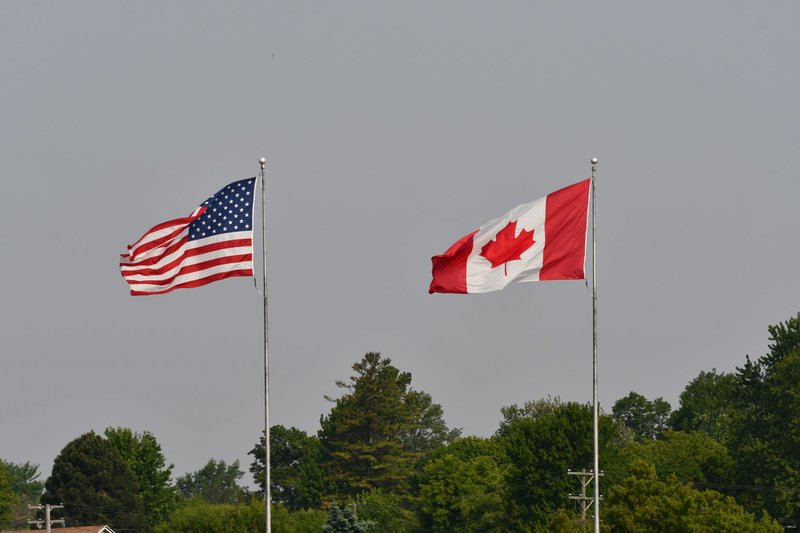
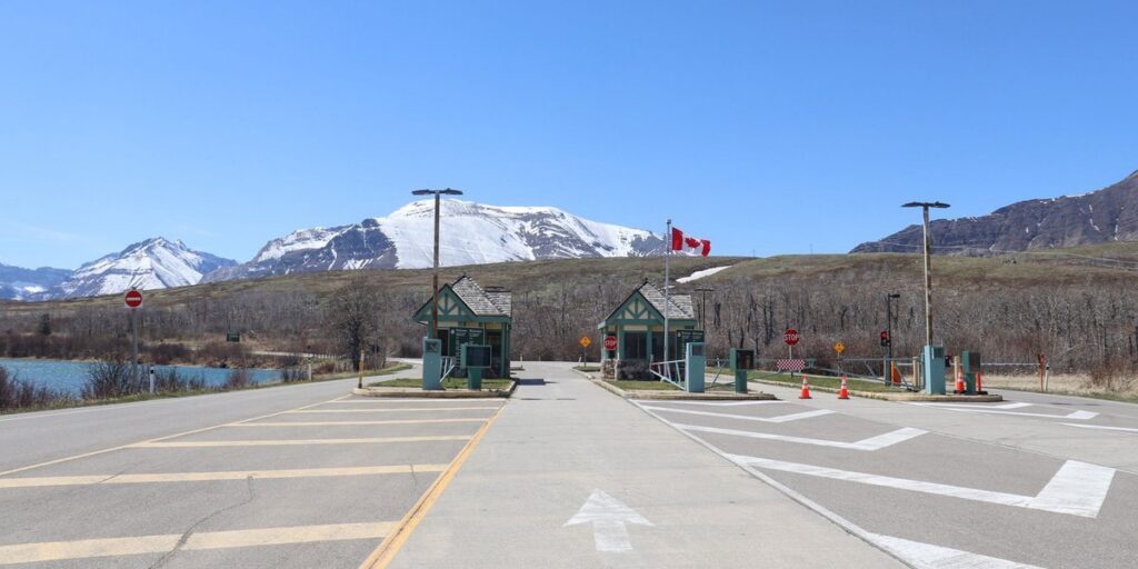
The International Boundary Commission, the joint Canada-US body that surveys and maintains the line, puts the full boundary at 8,891 km. The CIA World Factbook gives the same figure, including 2,475 km with Alaska. The older 5,525-mile number you’ll still see online is just that length in miles.
It breaks into two pieces:
- Contiguous US border: 6,416 km. Much of it follows the 49th parallel from Lake of the Woods to the Pacific, then runs through lakes and rivers in the east.
- Alaska border: 2,475 km. It runs mostly along the 141st meridian between Alaska and Yukon, then wraps around the Alaska panhandle against British Columbia.
The boundary is physically maintained. Crews keep a six-metre-wide cleared strip, known as “the Slash,” along long stretches of it, and there are more than 8,000 boundary monuments.
The 13 states
Thirteen US states touch Canada. From west to east:
- Alaska
- Washington
- Idaho
- Montana
- North Dakota
- Minnesota
- Michigan
- Ohio
- Pennsylvania
- New York
- Vermont
- New Hampshire
- Maine
Ohio and Pennsylvania are the odd ones. Their border with Canada is entirely in Lake Erie, so you can’t walk across it.
The 8 provinces and territories
Eight Canadian jurisdictions meet the US by land or lake: seven provinces and one territory. West to east, those are British Columbia, Alberta, Saskatchewan, Manitoba, Ontario, Quebec and New Brunswick, plus Yukon, which borders Alaska. Nova Scotia is often added to the list, but its boundary with the US is at sea in the Gulf of Maine, not on land.
If you’ve read “eight provinces,” that’s the likely source of the slip. Canada has ten provinces and three territories, and only seven of the ten touch the US.
Border oddities
The border has some quirks that make it more than a line on a map:
- Northwest Angle, Minnesota. A chunk of Minnesota sits north of the 49th parallel in Lake of the Woods. You can reach it by road only by driving through Manitoba.
- Derby Line, Vermont, and Stanstead, Quebec. The Haskell Free Library and Opera House was built across the line. The books are in Quebec’s Stanstead; the entrance is in Vermont.
- Point Roberts, Washington. A US peninsula cut off from the rest of Washington by the 49th parallel. Residents drive through Canada to reach the rest of their state.
Denmark and Hans Island
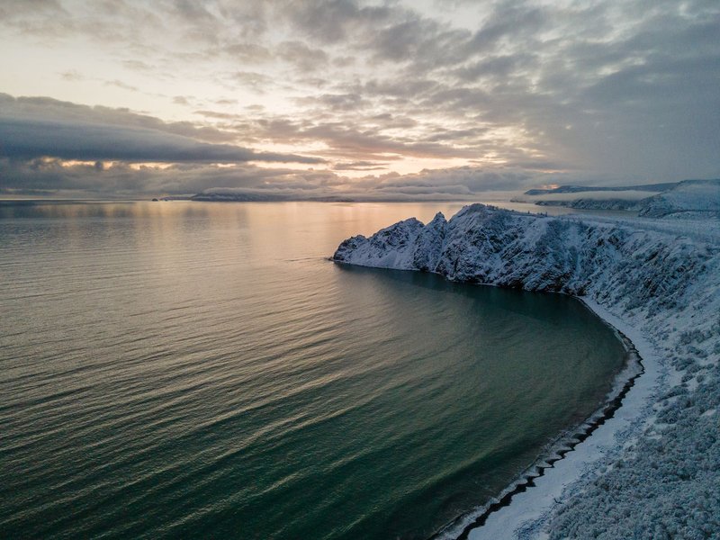
Greenland is part of the Kingdom of Denmark, and Greenland’s west coast faces Canada’s Ellesmere Island across Nares Strait. That makes Denmark Canada’s northern maritime neighbor.
A 1973 treaty fixed the sea boundary but left one gap: Hans Island, a barren rock of about 1.3 square kilometres in the middle of the strait, almost exactly halfway across. Both countries claimed it. The dispute became known as the “Whisky War.” Canadian soldiers visiting the island left a bottle of Canadian Club and a Canadian flag. Danish visitors replaced them with a flag and a bottle of schnapps.
In June 2022, the two governments agreed to split the island along a natural fault line, giving each side roughly half. The new land boundary is 1,280 metres long. It’s the shortest land border Canada has, and it’s the first time Canada has had one with a country other than the US.
France and Saint-Pierre and Miquelon
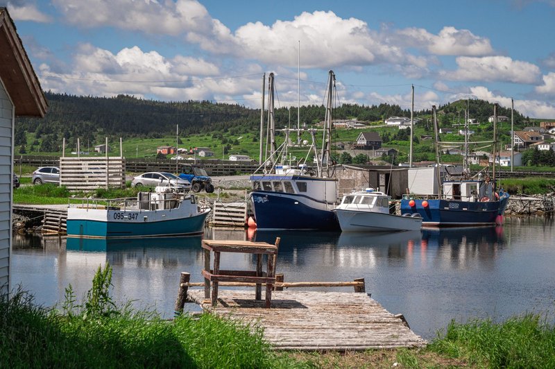
Saint-Pierre and Miquelon is a small French archipelago about 25 km off the south coast of Newfoundland. It’s the last remnant of New France in North America, and it’s fully French: euros, French police, a seat in the French parliament.
France’s claim to the waters around it led to a long fight over fishing rights and seabed resources. In 1992, an international court of arbitration set the maritime boundary. France received a 24-nautical-mile zone around the islands, plus a narrow corridor stretching about 200 nautical miles south, which gives the islands access to the open Atlantic. The ruling gave France far less than it had asked for.
There’s no land border here and never was. France is on Canada’s list purely because of that line in the water.
Disputed waters that still aren’t settled
Canada and the US have one of the most peaceful borders in the world, but a few patches of water remain contested. None of them involve land.
- Beaufort Sea. Canada says the boundary follows the 141st meridian straight out to sea. The US says it should run perpendicular to the coast. The wedge in between is thought to hold oil and gas.
- Machias Seal Island and the Gulf of Maine “gray zone.” Both countries claim the island and the waters around it. A Canadian Coast Guard crew staffs the lighthouse, and the area is known for Atlantic puffins. Canadian lobster fishers work the surrounding waters.
- Dixon Entrance. The waterway between Haida Gwaii in British Columbia and Alaska’s Prince of Wales Island. The two countries disagree on where the line runs, and fishing rights are what’s at stake.
Does Canada border Russia?
No. Canada and Russia are separated by the Arctic Ocean, and there’s no agreed boundary between them. The only overlap is in continental shelf claims near the North Pole, where both countries have submitted data to the UN on the Lomonosov Ridge. That’s a legal disagreement over the seabed, not a border.
The same goes for Mexico, which is more than 1,000 km south of the border at its closest point, and for Iceland, which has no shared waters with Canada.
FAQ
How many countries border Canada? One by land in practice (the US), two by land if you include Denmark’s 1,280 m on Hans Island, and three counting maritime boundaries (the US, Denmark and France).
Does Alaska count as a separate border? No. Alaska is a US state. The 2,475 km Alaska boundary is part of the 8,891 km total with the United States.
Which US states border Canada? Thirteen: Alaska, Washington, Idaho, Montana, North Dakota, Minnesota, Michigan, Ohio, Pennsylvania, New York, Vermont, New Hampshire and Maine.
Which Canadian provinces border the US? Seven provinces by land or lake: British Columbia, Alberta, Saskatchewan, Manitoba, Ontario, Quebec and New Brunswick. Yukon, a territory, borders Alaska.
Is the Canada-US border the longest in the world? Yes. At 8,891 km, it’s the longest border between two countries.
Who owns Hans Island? Both countries. Since the 2022 agreement, Canada and Denmark each hold about half of it.