Table of Contents
- The Quick Answer
- Namibia and Angola
- Namibia and Zambia
- Namibia and Botswana
- Namibia and South Africa
- Does Namibia Actually Border Zimbabwe?
- FAQ
The Quick Answer
Namibia shares land borders with four countries: Angola to the north, Zambia in a narrow strip to the northeast, Botswana to the east, and South Africa to the south. That’s it — four, not five, despite what a chunk of the internet will tell you.
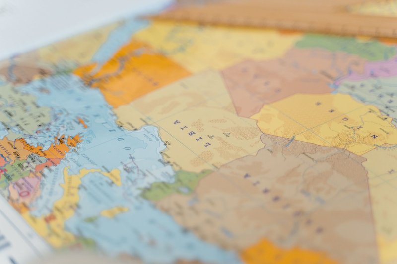
The mix-up almost always involves Zimbabwe, and there’s a real geographic reason for the confusion — not just sloppy fact-checking. We’ll get to that. But the four confirmed neighbors, combined, give Namibia one of the more unusual border shapes on the continent: a country that stretches a narrow panhandle nearly 450 kilometers east just to keep a foothold near the Zambezi River, a design decision made by 19th-century diplomats who never set foot there.
Namibia and Angola
The Angola border runs about 1,376 kilometers along Namibia’s entire northern edge, making it the longest of the four. For most of its length it follows the Kunene River in the west and the Kavango (Okavango) River in the east, with a straight surveyed line connecting the two through the dry country in between.
Ruacana, where the Kunene drops over a basalt escarpment, sits right on the border and used to be one of southern Africa’s more dramatic waterfalls before a hydroelectric scheme upstream started diverting most of the flow. The main crossing for travelers is Oshikango–Santa Clara, a busy commercial post that handles the bulk of trade between the two countries — Namibia is one of the few reliable overland routes into Angola for anyone not flying into Luanda.
Namibia and Zambia
This is the short one: roughly 233 kilometers, tucked entirely into the Zambezi Region — better known by its old colonial name, the Caprivi Strip. The border follows the Zambezi River, and the crossing point at Katima Mulilo is the only realistic overland route between the two countries.
The strip itself is a quirk of 19th-century treaty-making. Germany traded Britain the island of Heligoland for a corridor meant to give German South West Africa river access to the Zambezi and, in theory, a trade route to the Indian Ocean. It didn’t really work — Victoria Falls sits downstream and blocks any navigable path to the coast — but the boundary stuck, and it’s why Namibia’s map has that odd 450-kilometer arm reaching east.
Namibia and Botswana
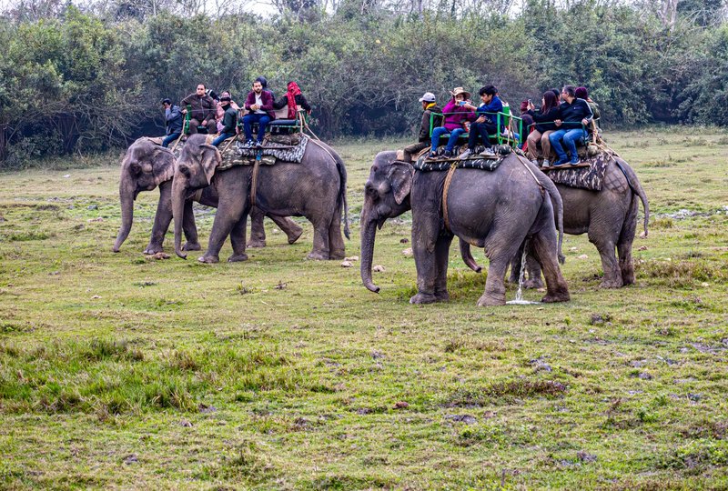
The Botswana border is close behind Angola’s in length, at around 1,360 kilometers, running along the eastern edge of the Zambezi Region and then south through the Kalahari. Botswana itself borders four countries, making the region’s border geography complex, and most of the shared border with Namibia is remote — sand, scrub, and long stretches without a fence in sight.
The main overland crossing, Mamuno–Trans-Kalahari, links Windhoek to Gaborone via the Trans-Kalahari Highway and is the route most self-drive travelers use between the two countries. Further east, near the town of Kazungula, the border does something genuinely rare on a map: it comes within a few hundred meters of touching two other international boundaries at once.
Namibia and South Africa
The southern border stretches about 967 kilometers along the Orange River (Gariep River to South Africans), the natural line that separates the two countries almost start to finish. It traces back to the 1890 Heligoland-Zanzibar Treaty line, the same round of negotiations that carved out the Caprivi Strip. Beyond this shared border, South Africa extends its boundaries to six neighboring nations, each border a legacy of that same era of colonial diplomacy.
The main crossing, Vioolsdrif–Noordoewer, sits on the Cape Town–Windhoek route and is the busiest of Namibia’s land borders by traffic volume — it’s the one most South African road-trippers use to reach the Namib desert or Fish River Canyon. South Africa also administered Walvis Bay, Namibia’s main port, as an enclave until 1994, five years after Namibian independence — a detail that trips up a lot of history quizzes.
Does Namibia Actually Border Zimbabwe?
No — but the confusion is earned. Near Kazungula, the borders of Namibia, Zambia, Botswana, and Zimbabwe converge in a tight cluster, close enough that older maps and some travel sites have drawn it as a genuine quadripoint: four countries meeting at a single point, which is vanishingly rare anywhere in the world.
Surveyed reality is different. Botswana and Zambia share a short border of their own across the Zambezi — confirmed physically by the Kazungula Bridge, which opened in 2021 to connect the two countries directly. That sliver of shared Botswana–Zambia territory is what keeps Namibia and Zimbabwe apart. The four borders form two adjacent tripoints instead of one quadripoint, and Namibia and Zimbabwe sit diagonally across from each other, close enough to see but never quite touching.
So if you’ve read that Namibia borders five countries, the fifth one is almost always Zimbabwe, and it’s a defensible mistake — the geography really is that tight. It’s just not accurate.
FAQ
How many countries border Namibia? Four: Angola, Zambia, Botswana, and South Africa.
Does Namibia border Zimbabwe? No. Their borders come extremely close near Kazungula but don’t touch, separated by a short stretch of shared Botswana–Zambia territory.
Which of Namibia’s borders is the longest? The Angola border, at roughly 1,376 kilometers, is slightly longer than the Botswana border.
Which border is the shortest? Zambia, at around 233 kilometers, confined entirely to the Zambezi Region (Caprivi Strip).
What’s the main border crossing between Namibia and South Africa? Vioolsdrif–Noordoewer, on the main route between Cape Town and Windhoek.
Why does Namibia have that narrow strip reaching toward Zambia? It’s the Caprivi Strip, ceded to German South West Africa in an 1890 treaty to provide river access to the Zambezi — access that turned out to be blocked downstream by Victoria Falls.