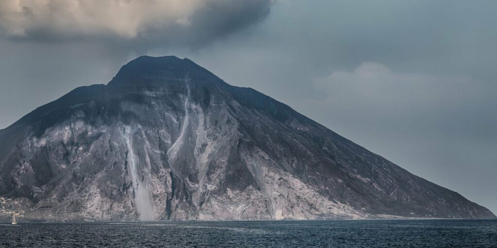
Brazil has no active volcanoes. The country sits in the middle of the South American Plate, thousands of kilometers from the nearest plate boundary, and volcanoes need that kind of boundary (or a hot spot) to keep erupting. Brazil’s volcanic rock is real, but it’s old, and the last of it went quiet long before humans arrived.
Table of contents
- TLDR
- Why Brazil has no active volcanoes
- Brazil’s volcanic sites at a glance
- Trindade and Martin Vaz
- Fernando de Noronha and Morro do Pico
- Pico do Cabugi
- Poços de Caldas caldera
- Serra Geral and the Paraná flood basalts
- Myths: Nova Iguaçu, Roraima and the Amazon
- Earthquake and eruption risk
- Where the nearest active volcanoes are
TLDR
- No volcano in Brazil is active. The youngest, on the Trindade and Martin Vaz islands in the South Atlantic, last erupted in the Pleistocene, hundreds of thousands of years ago.
- The only volcanic sites an ordinary traveler can visit are Morro do Pico on Fernando de Noronha and Pico do Cabugi in Rio Grande do Norte.
- Trindade is closed to tourism and run by the Brazilian Navy.
- The nearest active volcanoes are in the Andes, in Chile, Bolivia and Argentina.
Why Brazil has no active volcanoes
Most of the world’s eruptions happen where tectonic plates collide, pull apart or slide under each other. The Andes have volcanoes because the Nazca Plate dives beneath South America. Brazil is on the other side of the continent, deep inside the plate, on some of the oldest and most stable crust on Earth.
Stable doesn’t mean it was always quiet. When the South Atlantic opened up around 130 million years ago, Brazil was torn from Africa and huge volumes of lava poured out. Smaller bursts of magma followed in the Cretaceous and Paleogene. All of that has since cooled, and most of it has been eroded down to its roots.
For a current list of volcanoes that have erupted in the Holocene, the Smithsonian Global Volcanism Program is the standard reference. Brazil’s entries are few, and none are flagged as erupting.
Brazil’s volcanic sites at a glance
| Site | Type | Location | Approximate age | Status | Can you visit? |
|---|---|---|---|---|---|
| Trindade and Martin Vaz | Volcanic island group | South Atlantic, about 1,100 km off Espírito Santo | Up to a few million years; youngest activity in the Pleistocene | Extinct (dormant at most) | No, Navy-controlled |
| Morro do Pico | Phonolite plug | Fernando de Noronha, Pernambuco | Roughly 8 to 12 million years | Extinct | Yes, as part of a Noronha trip |
| Pico do Cabugi | Volcanic neck | Rio Grande do Norte | Around 30 million years | Extinct | Yes, hikeable |
| Poços de Caldas | Eroded caldera | Minas Gerais / São Paulo border | Late Cretaceous, roughly 80 million years | Extinct | Yes, as a region |
| Serra Geral | Flood basalts | Southern Brazil | About 132 to 134 million years | Extinct | Yes, scenic canyons and escarpments |
Trindade and Martin Vaz
This is the closest Brazil gets to a “young” volcano. Trindade is a rugged island about 1,100 km east of the Espírito Santo coast, with Martin Vaz a small cluster of islets roughly 48 km farther east. Both are the exposed tips of a seamount chain that rises from the seafloor.
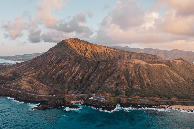
Trindade’s rocks span several million years, and its youngest deposits, linked to the Paredão volcano and nearby cones, date to the Pleistocene, around a quarter of a million years ago. Martin Vaz is also geologically young but extinct. No eruption has been recorded in human history.
You can’t go there as a tourist. The island hosts a Brazilian Navy research outpost, and access is restricted to military and scientific personnel. If you see a tour operator selling “a trip to the Brazilian volcano,” it isn’t selling Trindade.
Fernando de Noronha and Morro do Pico
Fernando de Noronha is an archipelago about 350 km off the northeast coast, and its skyline is dominated by Morro do Pico, a 323-meter spire of phonolite. It’s the hardened magma plug of an old volcano, left standing after the surrounding cone eroded away. The islands as a whole are listed as part of the UNESCO World Heritage site of Brazilian Atlantic Islands.
Volcanic activity here stopped millions of years ago. What you see today is a worn-down eruptive center, which is why the beaches and dive sites have such dramatic dark rock behind them. Visitors fly in from Recife or Natal, and the peak is a landmark rather than a hike for most people, so plan on seeing it from the coast and trails below.
Pico do Cabugi
Pico do Cabugi is the volcano most Brazilians mean when they say they’ve climbed one. It rises to about 590 meters out of the flat semiarid landscape of Rio Grande do Norte, near Lajes and Angicos. It’s a volcanic neck: the solidified throat of a vent, exposed after the cone weathered away.
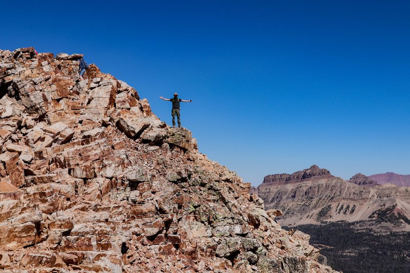
The activity that built it dates to roughly 30 million years ago. The hike is short but steep, usually 1 to 2 hours depending on fitness, with the last stretch over bare dark rock. Start early; this is the sertão and the sun is brutal by late morning. A local guide from the nearby villages is worth hiring, since trail markings are inconsistent.
Poços de Caldas caldera
On the border between Minas Gerais and São Paulo, Poços de Caldas sits inside the remains of a caldera roughly 33 km across, formed in the Late Cretaceous. The ring of hills around the town is the eroded rim.
Nothing here looks like a volcano in the postcard sense. What survives are the ring of hills, the alkaline rocks, and the hot springs and mineral deposits that gave the town its spa reputation. The region is now a regular weekend destination for people from São Paulo.
Serra Geral and the Paraná flood basalts
Serra Geral isn’t a mountain but a vast lava field. Around 132 to 134 million years ago, enormous eruptions covered much of what is now southern Brazil, plus parts of Paraguay, Uruguay and Argentina, in layers of basalt. It’s one of the largest flood basalt provinces on Earth.
You can see the layered rock in the canyons of the south, such as the escarpments of Serra Geral near the Santa Catarina and Rio Grande do Sul border. There’s no crater to find. The volcano here is the whole landscape.
Myths: Nova Iguaçu, Roraima and the Amazon
Nova Iguaçu. The “volcano of Nova Iguaçu” in Rio de Janeiro state shows up in a lot of lists. It’s the eroded remains of an alkaline intrusive complex, tens of millions of years old, not an active or even recognizable volcano. There is no crater and no hazard.
Monte Roraima. This flat-topped mountain on the border with Venezuela and Guyana is made of ancient sandstone, not volcanic rock. It’s a tepui, shaped by erosion over hundreds of millions of years.
Amazon “craters.” Circular features in the Amazon basin that appear in some blog posts are mostly impact structures, eroded domes or river features. None have been confirmed as active volcanoes.
Earthquake and eruption risk
Eruption risk in Brazil is effectively zero. Earthquakes do happen, but they’re modest. The strongest on record was the 1955 Serra do Tombador event in Mato Grosso, around magnitude 6.2, in a sparsely populated area. Offshore, a magnitude 5.2 quake off São Paulo state in 2008 was felt in major cities but caused little damage. For background on how the USGS tracks earthquake hazards, the agency’s site lists seismic activity worldwide.
Brazilian seismicity comes from stress within the plate, not from a plate boundary, so quakes are infrequent and small compared with Chile or Peru.
Where the nearest active volcanoes are
If the question behind your search is “where can I see a live volcano near Brazil,” the answer is the Andes. Chile, Bolivia and Argentina all have active or recently active volcanoes along the western side of the continent. For a full rundown, see the complete list of active volcanoes in the Andes, which covers 75 of them, including Láscar in northern Chile. From most Brazilian cities, you’re looking at a flight of several hours to reach them.
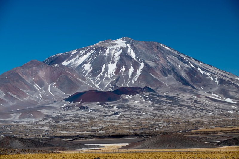
Chile’s Atacama region is the easiest base for volcano trips, combining high-altitude desert, fumaroles and several summits above 5,000 meters. For travelers in Brazil, that’s the realistic option.