TLDR
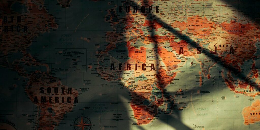
Five countries border Senegal by land: Mauritania to the north, Mali to the east, Guinea to the southeast, Guinea-Bissau to the southwest, and The Gambia, which Senegal wraps around on three sides. The Atlantic Ocean forms the western edge, and Cape Verde sits about 600 km offshore across a maritime boundary.
Contents
- Senegal’s neighbors at a glance
- Mauritania: the river border
- Mali: the long inland frontier
- Guinea and Guinea-Bissau: the green south
- The Gambia: the country inside Senegal
- Does Senegal have a sea border?
- Crossing the borders overland
- FAQ
Senegal’s neighbors at a glance
Senegal’s land borders total roughly 2,684 km, according to the CIA World Factbook. Here’s how that splits across the countries that border Senegal:
| Neighbor | Direction | Approx. length | Defining feature |
|---|---|---|---|
| Mauritania | North | 813 km (505 mi) | Senegal River |
| The Gambia | Enclave, center-south | 749 km | Gambia River corridor |
| Mali | East | 419 km | Dry savanna, Dakar-Bamako rail line |
| Guinea | Southeast | 363 km | Foothills of the Fouta Djallon |
| Guinea-Bissau | Southwest | 341 km | Casamance forests and rivers |
Two things stand out. Mauritania gets the longest frontier, and The Gambia, a country smaller than Connecticut, comes second because its border runs along both sides of a 300 km river.
Mauritania: the river border
Most of the northern frontier is water. The Senegal River runs west to the Atlantic, with Senegal on the south bank and Mauritania on the north. The Sahel starts across the water: sand, scrub and nomadic herding country where Senegal’s side is farmed floodplain.
The river is also why this border has a political history. Disputes over grazing and farmland along its banks erupted into violence in 1989, and the border was closed for years afterward. It’s calm now, and the Rosso and Diama crossings carry steady traffic between Dakar and Nouakchott.
Mali: the long inland frontier
Mali to the east is the only neighbor with no coast, no big river to follow and no obvious natural line. The border cuts through dry savanna, and the town of Kidira marks the main crossing. The Dakar-Bamako railway, built under French rule, passes right through here, tying the two capitals together even when the trains run badly.
Check current government advisories before planning any trip near this border. The US State Department’s Senegal travel advisory flags the eastern region as an area of concern due to security spillover from Mali.
Guinea and Guinea-Bissau: the green south
The southeast corner touches Guinea, a country with six neighbors of its own, where Senegal’s lowlands begin to rise toward the Fouta Djallon highlands. This is the Kédougou region, the only part of Senegal with real hills, waterfalls and chimpanzee habitat. It feels nothing like the Dakar coast.
To the southwest, Guinea-Bissau shares the Casamance border. Its official language is Portuguese, but most people grow up speaking Kriyol, a creole. Casamance is wet, green, mangrove-lined and culturally distinct from northern Senegal, with a long-running separatist movement that has largely quieted but shaped how the area is governed and perceived. Ziguinchor, its main city, is a few dozen kilometers from the Bissau-Guinean line.
The Gambia: the country inside Senegal
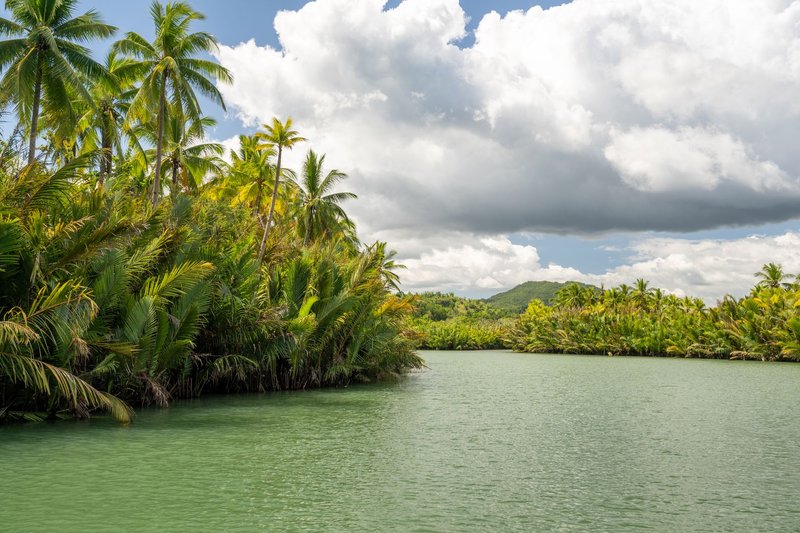
Yes, The Gambia is inside Senegal, nearly. It’s a thin strip about 300 km long and rarely more than 50 km wide, following the Gambia River inland from the Atlantic. Senegal borders it on the north, east and south.
The shape comes from a 19th-century trade deal. Britain wanted the river for commerce and claimed the land along its banks; France held everything around it. An 1889 Anglo-French agreement fixed a boundary roughly 10 km from each shore, which is why the country looks like it was drawn with a ruler along a river.
The side effect is a split Senegal has lived with ever since. The Casamance region, south of The Gambia, is cut off from the rest of the country by a foreign nation. For decades, travelers between Dakar and Ziguinchor either took a ferry, drove through The Gambia and its border posts, or flew. The Senegambia Bridge at Farafenni, opened in 2019, replaced the old Gambia River ferry crossing there and made the overland link far quicker.
Does Senegal have a sea border?
Yes. Senegal’s entire western edge is Atlantic coastline, roughly 531 km. Its maritime neighbors are Mauritania to the north, The Gambia and Guinea-Bissau to the south, and Cape Verde to the west, whose islands lie about 600 km off Dakar. Cape Verde is not a land neighbor, so it never appears in the “five countries” answer, but it does share an offshore boundary with Senegal.
Crossing the borders overland
A few practical points, with the caveat that rules shift and you should confirm before you travel:
- Mauritania: Rosso is the busiest crossing, and it’s known for touts and slow processing. Diama, a little upstream, is often calmer. Mauritania requires a visa for most nationalities.
- Mali: Kidira is the standard crossing. Regional security is the main issue, so check advisories first.
- Guinea: Overland routes run through Kédougou. Roads are rough, and distances are long.
- Guinea-Bissau: The usual route is from Ziguinchor toward São Domingos and on to Bissau.
- The Gambia: Many crossings, including Farafenni and the busy Senegambia-area border near Seleti/Karang on the coast road. Both are straightforward compared to the others.
Visa rules depend on your passport, so confirm with each country’s embassy rather than relying on a general list. Carry your yellow fever certificate, as it’s commonly asked for at West African borders.
FAQ
How many countries border Senegal? Five by land: Mauritania, Mali, Guinea, Guinea-Bissau and The Gambia.
Which country has the longest border with Senegal? Mauritania, at about 813 km along the Senegal River.
Which country is surrounded by Senegal? The Gambia, which is enclosed on three sides, with the Atlantic Ocean on the fourth.
Does Senegal border Cape Verde? Only by sea. Cape Verde lies offshore in the Atlantic, so the boundary is maritime, not a land frontier.
Does Senegal have a coastline? Yes, roughly 531 km on the Atlantic, from the Mauritanian border south to Guinea-Bissau.