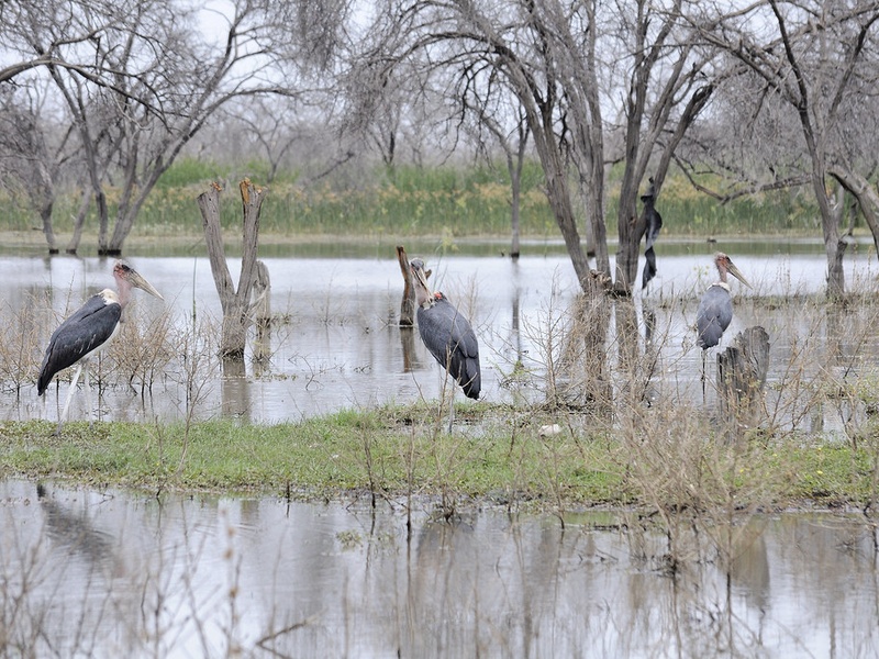
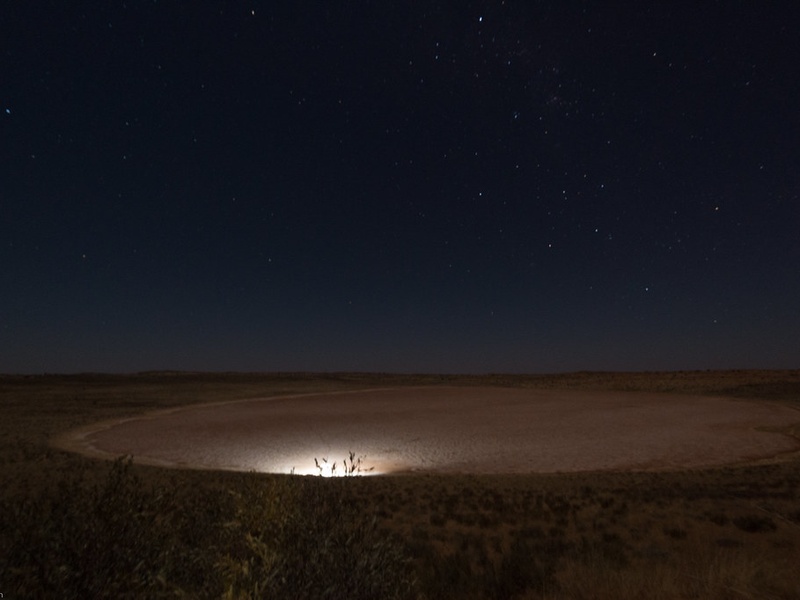
Botswana’s landscape is shaped by wide salt pans, seasonal floodplains and reservoirs that appear and disappear with the rains. From dry savanna to the green pulse of the rainy season, those waterbodies play key roles for wildlife, local communities and birdwatchers, and they help tell the story of the country’s shifting hydrology.
There are 12 Lakes in Botswana, ranging from Bokaa Dam to Sua Pan East. For each entry, data are organized as Type (seasonality), Location (region; coordinates) and Area (km2); you’ll find these details below.
Are these lakes mostly permanent or seasonal?
Many are seasonal pans and floodplain lakes that fill during the rainy season and shrink or dry out later in the year, while others (like some dams) retain water year‑round; check the Type (seasonality) column to see whether a specific site is permanent, intermittent or strictly seasonal.
Which sites are easiest to visit and when is best?
Accessibility depends on rainfall and roads: Bokaa Dam near Gaborone is generally easy to reach year‑round, while salt pans and seasonal lakes (e.g., Sua Pan East) are best visited in or just after the rains when water and wildlife are present — consult local access rules and coordinates in the list below.
Lakes in Botswana
| Name | Type (seasonality) | Location (region; coordinates) | Area (km2) |
|---|---|---|---|
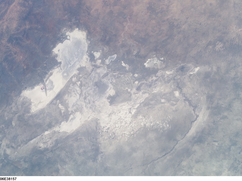
| Makgadikgadi Pan | Seasonal pan — fills in wet years | Central Botswana; -20.0000,25.5000 | 12,000.00 max |
| Nwetwe Pan | Seasonal pan — fills Nov–Apr | Makgadikgadi; -20.2333,25.2667 | unknown |
| Sua (Sowa) Pan | Seasonal pan — salt-pan complex | Makgadikgadi; -20.3500,25.7000 | unknown |
| Nxai Pan | Seasonal pan — core of Nxai Pan NP | Nxai Pan NP; -20.5833,24.6500 | 2,300.00 max |
| Lake Ngami | Seasonal lake — intermittent flood lake | Northwest Botswana; -19.9667,22.3667 | unknown |
| Lake Xau | Seasonal lake/pan — Okavango overflow | Western Okavango; -19.8000,22.2500 | unknown |
| Gaborone Dam | Reservoir — permanent | Gaborone District; -24.6833,25.9200 | unknown |
| Dikgatlhong Dam | Reservoir — permanent | Northeast Botswana; -21.9900,27.1000 | unknown |
| Letsibogo Dam | Reservoir — permanent | Near Palapye; -21.4167,27.3000 | unknown |
| Bokaa Dam | Reservoir — permanent | Southern District; -24.8167,25.5667 | unknown |
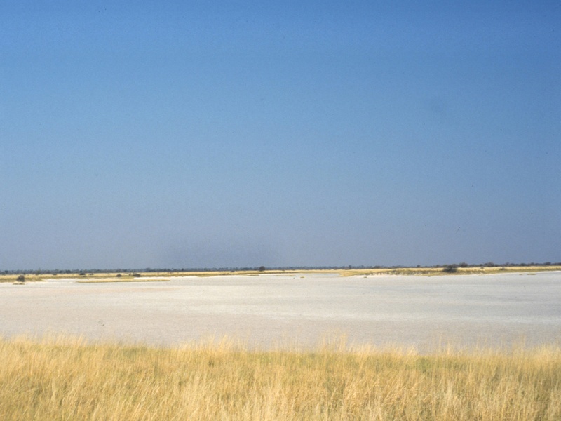
| Nata Pan | Seasonal pan — Nata Delta outlet | Nata area; -20.2167,26.4167 | unknown |
| Sua Pan East | Seasonal pan — part of Sowa complex | Makgadikgadi; -20.4000,25.7500 | unknown |
Images and Descriptions
Makgadikgadi Pan
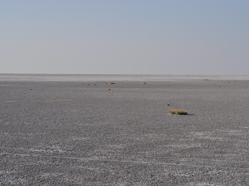
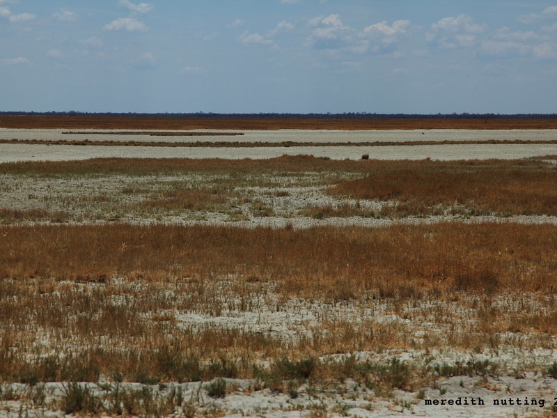
A vast salt pan complex in central-northern Botswana. It is seasonal and fills only in very wet years. It sits where an ancient lake once existed. It is included because it forms the largest open flat area and shapes local wildlife and migration. Visit in the dry season for clear views and in early rains for rare floods and birdlife.
Nwetwe Pan
A large salt pan inside the Makgadikgadi system. It is seasonal and usually dry with a hard salt crust. It hosts migrating animals after rains and supports breeding birds when water arrives. It is included as one of the main pans that define the Makgadikgadi region and offer wide, open landscapes.
Sua (Sowa) Pan
A major salt pan east of the Makgadikgadi complex. It is mostly dry and holds salt deposits used locally. It fills only in wetter seasons or years. It is included because it is a named, mapped pan with ecological and economic importance, and because its flooded phases attract many birds.
Nxai Pan
A seasonal grassland pan in Nxai Pan National Park. It fills with water after rains and then supports large herds of zebra and other grazing animals. It is included as a prominent seasonal lake-like area with strong wildlife value and easy park access for visitors.
Lake Ngami
An oxbow-style lake in northwest Botswana that fills when northern rains are strong. It is intermittent and can dry out in droughts. It is included because it is a historic inland lake with cultural and ecological links to the Okavango system and has been visited for decades.
Lake Xau
A seasonal floodplain lake tied to Okavango Delta flows. It fills in high-flood years and then attracts fish and waterbirds. It is included as part of the Delta’s wider wetland network and as an example of how inland lakes appear and disappear with flood pulses.
Gaborone Dam
A permanent reservoir near Botswana’s capital, Gaborone. It stores municipal water and offers recreational access. Levels change with rainfall and demand. It is included because it is one of the country’s main artificial lakes and a key water supply and leisure site.

Dikgatlhong Dam
A large engineered reservoir in northeastern Botswana. It stores water for urban supply and irrigation and feeds national water infrastructure. It is mostly permanent, though levels vary. It is included as a modern man-made lake that affects local hydrology and development.
Letsibogo Dam
A reservoir on the Motloutse River in eastern Botswana. It serves water supply and local agriculture. It holds water year-round when rains are normal, but levels fall in droughts. It is included as an important regional dam that functions like a lake for people and wildlife.
Bokaa Dam
A smaller reservoir near Molepolole and close to Gaborone. It supplies water to surrounding towns and serves as a local fishing and birding spot. It remains mostly permanent but fluctuates with seasons. It is included because it is commonly listed among Botswana’s accessible water bodies.
Nata Pan
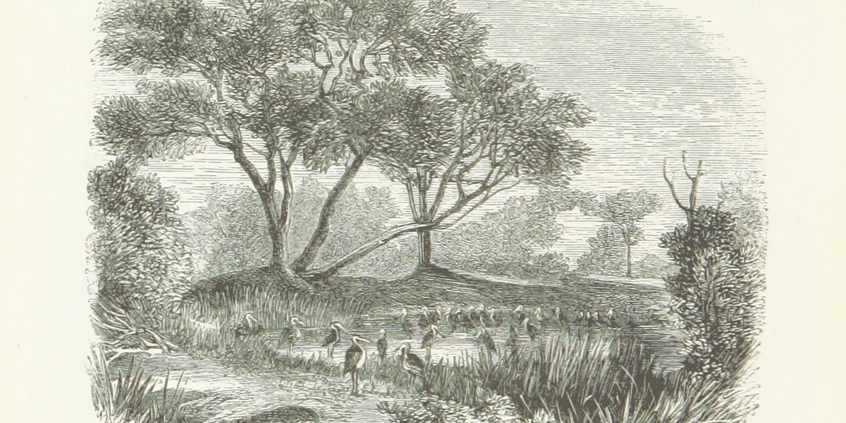
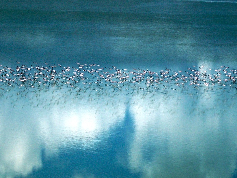
A seasonal pan at the eastern edge of the Makgadikgadi. It fills after rains and during floods from the north. It supports huge numbers of flamingos and other birds when wet. It is included for its clear role as a seasonal lake habitat and a key site for birdwatching.
Sua Pan East
The eastern section of the larger Sua (Sowa) Pan area. It is a dry salt flat most years and floods only in wet periods. It is included to show the named sub-areas within major pans and to note where seasonal water and birdlife can concentrate.