Jordan’s landscape is shaped by more than desert — its valleys and seasonal streams carve routes for agriculture, wildlife and historic sites. From the fertile Jordan Valley up through rocky highlands, watercourses — whether permanent or episodic — play a quiet but important role in daily life and the environment.
There are 12 Rivers in Jordan, ranging from Jordan River to Zarqa River. For each river the table shows Type,Location (governorate; lat,long),Length (km) — you’ll find below.
Do Jordan’s rivers flow all year or only after rain?
Most are seasonal wadis that swell during rainy months and shrink or dry in summer; a few stretches, like parts of the Jordan River, have more consistent flow but are reduced by extraction and dams. Expect variability by location and season.
Can visitors safely access these rivers and wadis?
Yes, many river valleys are reachable and rewarding, but access varies: some areas are protected or on private land, and wadis can be dangerous during flash floods. Check local guidance, avoid visiting right after heavy rain, and plan for limited facilities.
Rivers in Jordan
| Name | Type | Location (governorate; lat,long) | Length (km) |
|---|---|---|---|
| Jordan River | perennial | Balqa; 32.27200,35.57800 | 251.0 |
| Yarmouk River | perennial | Irbid; 32.58300,35.60300 | 70.0 |
| Zarqa River | perennial | Zarqa; 32.07000,36.08300 | 65.0 |
| Wadi al-Mujib | wadi (seasonal) | Madaba; 31.52300,35.60900 | 70.0 |
| Wadi al-Hasa | wadi (seasonal) | Karak; 31.15000,35.65000 | 120.0 |
| Wadi Araba | wadi (seasonal) | Aqaba; 30.13000,35.30000 | 166.0 |
| Wadi Rum | wadi (seasonal) | Aqaba; 29.53220,35.42610 | 80.0 |
| Wadi Dana | wadi (seasonal) | Tafilah; 30.74500,35.46700 | 12.0 |
| Wadi Faynan | wadi (seasonal) | Tafilah; 30.83500,35.33700 | 60.0 |
| Wadi Musa | wadi (seasonal) | Ma’an; 30.32800,35.44400 | 12.0 |
| Wadi Ma’in | wadi (seasonal) | Madaba; 31.61100,35.72500 | 25.0 |
| Wadi Azraq | wadi (seasonal) | Zarqa; 32.96300,36.82100 | 50.0 |
Images and Descriptions

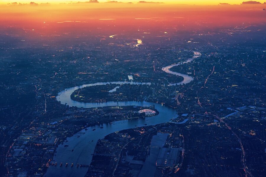
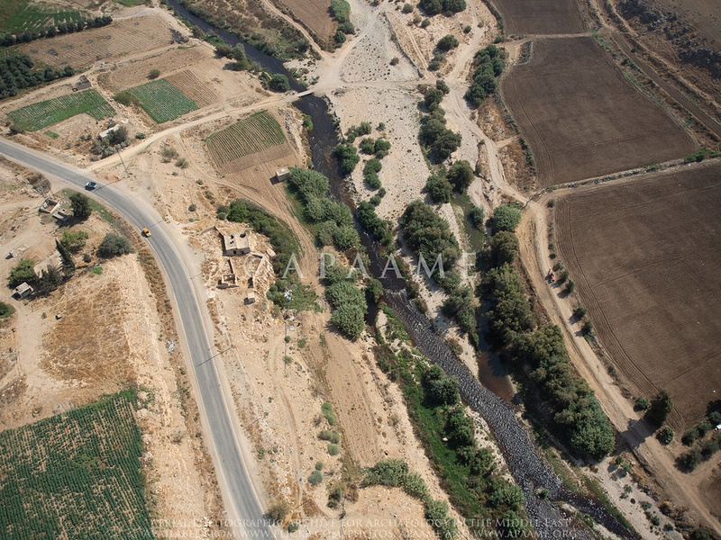
Jordan River
The Jordan River is the main river that runs from the Sea of Galilee to the Dead Sea. It forms part of Jordan’s western border and shapes the Jordan Valley. It serves as the primary perennial river in the country and connects many downstream wadis. It is included because it anchors Jordan’s river system and major drainage basins.
Yarmouk River
The Yarmouk River is the largest tributary of the Jordan River. It flows along parts of Jordan’s northern border and drains highlands to the east and north. It shows more steady flow than many wadis but varies with seasons and upstream use. It matters as a major water source and border river.
Zarqa River
The Zarqa River rises near Amman and flows west toward the Jordan River. It is a long, important tributary that passes through Zarqa and Amman areas. It has lower flow now because of heavy water use and pollution. It is listed because it is a key river for Jordan’s cities and water supply.
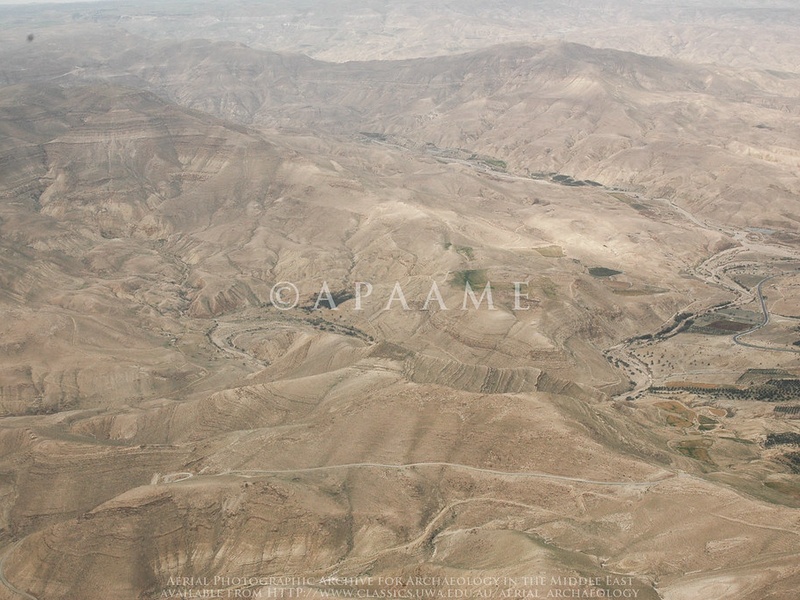
Wadi al-Mujib
Wadi al-Mujib is a deep canyon that drops to the Dead Sea in central-west Jordan. It carries strong flood flows after rain and forms the Mujib Biosphere Reserve. It supports rare plants and wildlife and offers hiking routes. It is included as a major seasonal wadi and protected area.
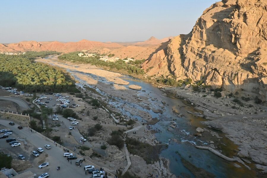
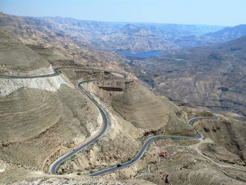
Wadi al-Hasa
Wadi al-Hasa is a long seasonal valley that drains to the Dead Sea from the west. It passes near Karak and shows terraces and ancient irrigation remains. It floods in the rainy season and is used for local agriculture. It is included for its size and historical importance.
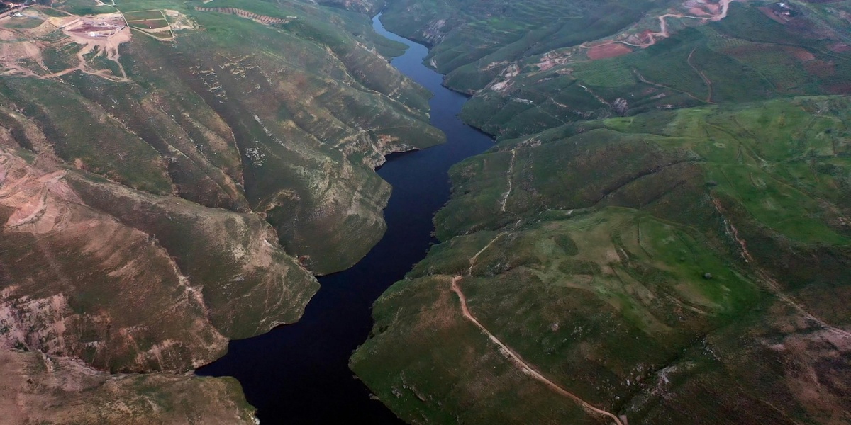
Wadi Araba
Wadi Araba is the long rift valley that runs from the southern Dead Sea toward the Gulf of Aqaba. It forms a broad desert corridor along Jordan’s western frontier. It contains many seasonal channels and dry riverbeds that flow after storms. It is included because it shapes southern Jordan’s landscape.
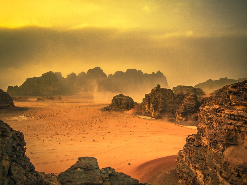
Wadi Rum
Wadi Rum is a large desert valley and protected area in southern Jordan near Aqaba. It features dramatic sandstone and granite canyons and short-lived flood streams. It flows only after heavy rains and creates oases in the desert. It is included for its geology, tourism, and seasonal watercourses.
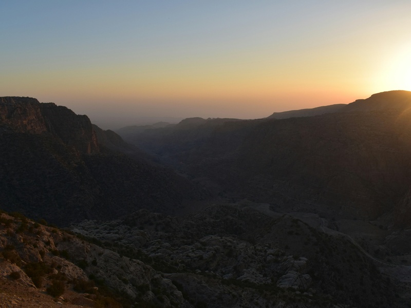
Wadi Dana
Wadi Dana runs through the Dana Biosphere Reserve in central-south Jordan. It forms steep slopes and varied habitats from high plateaus down to the valley floor. It carries water only in wet seasons and supports diverse plants and animals. It is included for its conservation value and hiking routes.
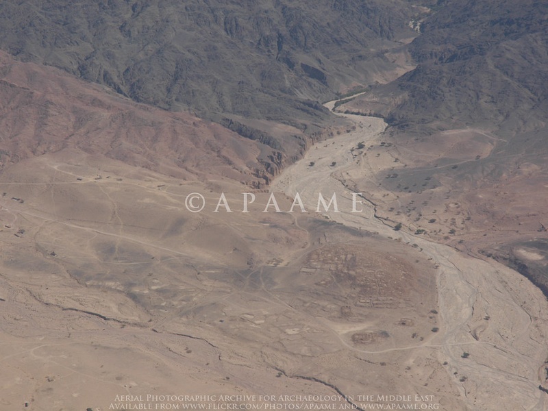
Wadi Faynan
Wadi Faynan lies southwest of the Dead Sea and drains a broad dry basin toward the valley. It has ancient mining sites and archaeological remains near its course. It flows mainly during rains and supports seasonal wetlands in low spots. It is included for its cultural history and seasonal streams.
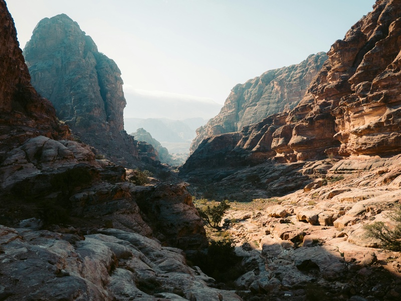
Wadi Musa
Wadi Musa flows through the town of Wadi Musa and the archaeological city of Petra. It shaped the Siq, the narrow gorge that leads into Petra, and carries flash floods during storms. It is seasonal but crucial to Petra’s landscape and ancient water systems. It is included because of its link to one of Jordan’s top sites.
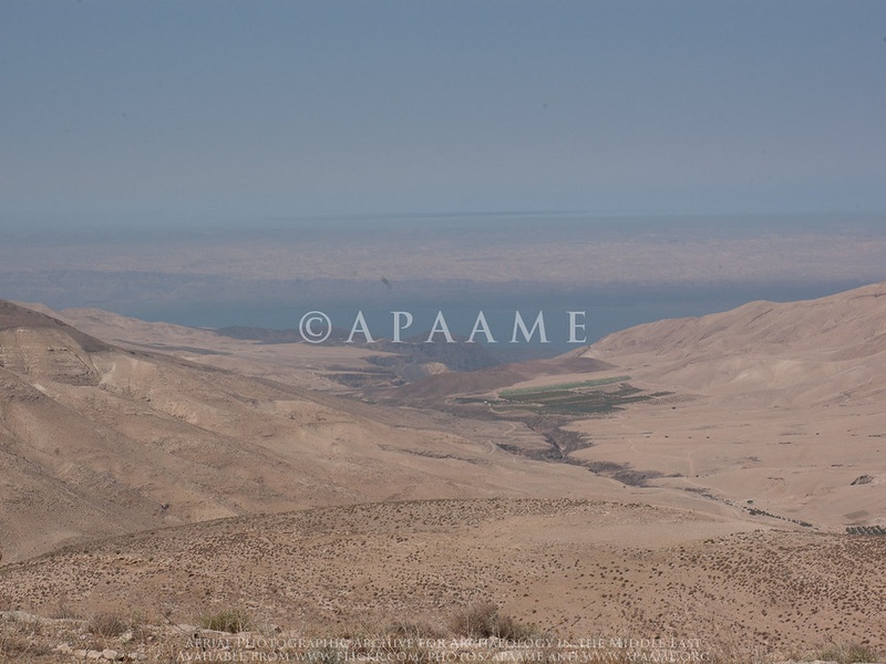
Wadi Ma’in
Wadi Ma’in lies east of the Dead Sea and is known for hot springs and waterfalls. It drains steep terrain and forms scenic cascades that attract visitors. It flows seasonally but maintains local springs that feed thermal pools. It is included for its unique thermal features and tourist value.
Wadi Azraq
Wadi Azraq centers on the Azraq oasis east of Amman in northeastern Jordan. It is fed by springs and once supported a larger wetland and migratory birds. Much of its flow is reduced today, but the Azraq Wetland Reserve still hosts wildlife. It is included for its rare wetland habitat in an arid region.