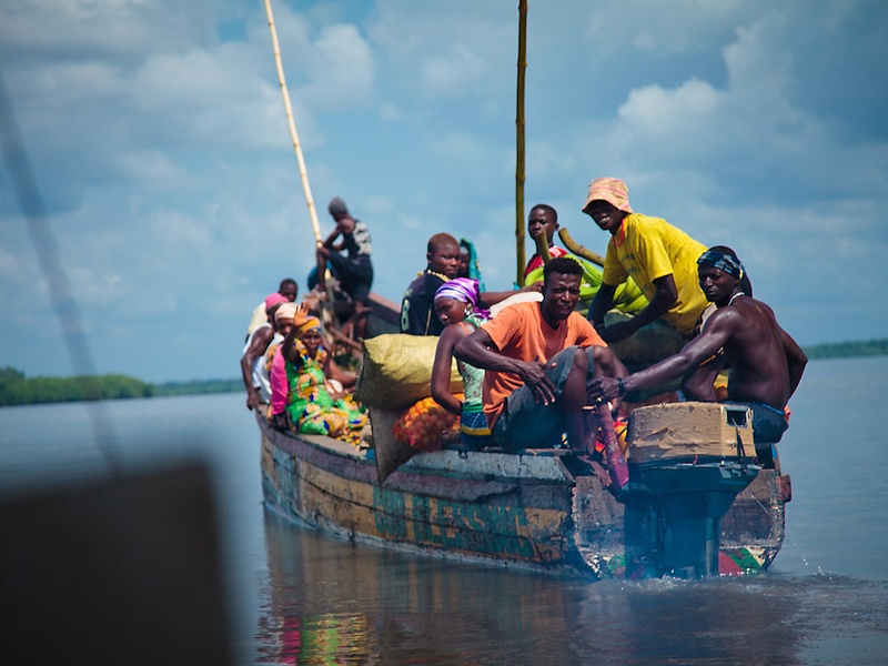
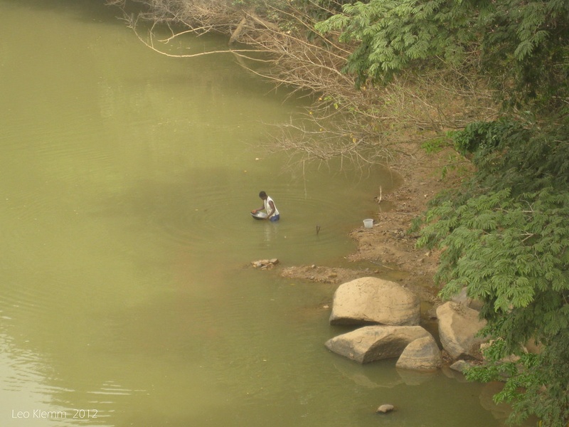
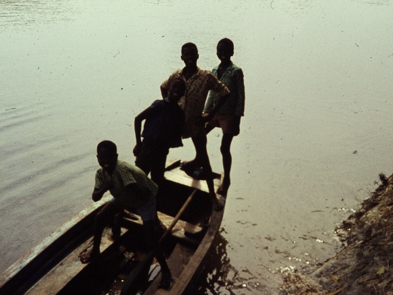
Sierra Leone’s rivers carve the country into distinct landscapes, feeding mangroves, wetlands and agriculture while linking inland communities to the Atlantic coast. They play a practical role in transport, fishing and local economies across districts.
There are 15 Rivers in Sierra Leone, ranging from Bankasoka River to Taia River. For each river, you’ll find below the data organized by Alternate names,Region / District,Length (km), so you can quickly compare local names, location and size — you’ll find those details below.
How are the rivers distributed across regions of Sierra Leone?
Most rivers flow from inland highlands toward the Atlantic, creating several coastal estuaries and inland basins; the Region / District column shows where each river mainly lies, helping you see which rivers serve the northern, eastern or coastal parts of the country.
What does the “Alternate names” column include and why is it useful?
Alternate names lists local spellings, traditional names and historical variants so you can match maps, government records and local references — useful when a river is known by different names in different communities or documents.
Rivers in Sierra Leone
| Name | Alternate names | Region / District | Length (km) |
|---|---|---|---|
| Rokel River | Seli River | Eastern to Western Area; drains to Sierra Leone River estuary | 240 |
| Sierra Leone River | Sierra Leone Estuary | Western Area; major estuary at Freetown harbour | 22 |
| Sewa River | Sewa-Kama River | Eastern/Southern Sierra Leone; drains to Atlantic near Sherbro | 250 |
| Moa River | Moa | Southern Sierra Leone; flows to Atlantic near Gbangbatoke | 210 |
| Mano River | Mano | Northwest border with Liberia; flows to Atlantic | 250 |
| Great Scarcies River | Kolenté River | Northern Sierra Leone; flows from Guinea to Atlantic | 240 |
| Little Scarcies River | Kaba River | Northern Sierra Leone; drains to Atlantic near Scarcies estuary | 160 |
| Bankasoka River | Port Loko River | Northern Western Area; tidal river/estuary at Port Loko | 65 |
| Bumpeh River | Bumpe River | Southern Sierra Leone; drains to Sherbro estuary | 140 |
| Jong River | Jong | Southern/central Sierra Leone; local drainage into Atlantic | 120 |
| Taia River | Taia | Southern Sierra Leone; tributary network to Atlantic coast | 90 |
| Sherbro River | Sherbro Estuary | Southern Sierra Leone; estuary around Sherbro Island | 40 |
| Kukuna River | Kukuna | Eastern Sierra Leone; local tributary of Sewa basin | 80 |
| Kagboro River | Kagboro | Southern Sierra Leone; drains into Sherbro/Atlantic system | 75 |
| Kissi River | Kissi | Eastern border regions; small cross-border river system | 110 |
Images and Descriptions
Rokel River
Flow from the inland highlands to the Atlantic. Also called the Seli River. Form the largest river system in Sierra Leone and empty near the Sierra Leone River estuary. Drain a large central watershed and support farming, fisheries and local transport.
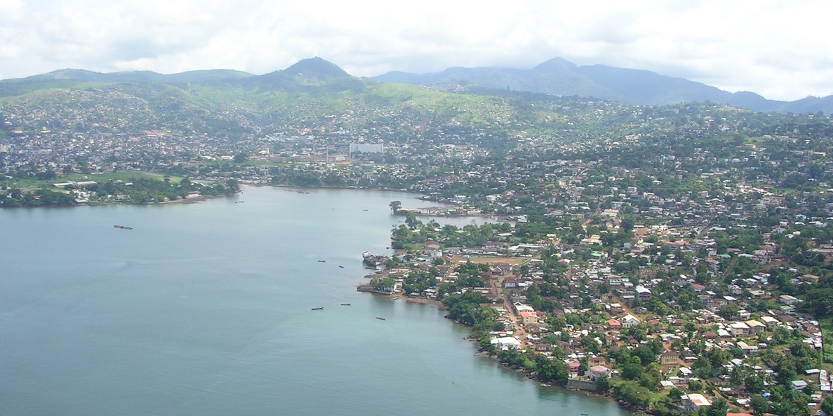
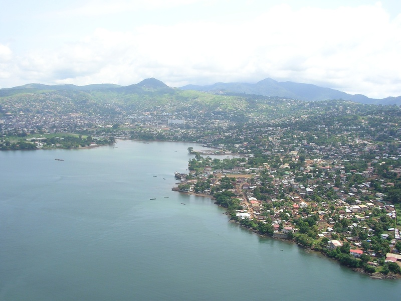
Sierra Leone River
A broad tidal estuary on the western coast near Freetown. Form where the Rokel and Bankasoka waters meet the sea. Serve as the main harbour area for Freetown and support shipping, mangroves and coastal fisheries. Act as a key outlet for several major rivers.
Sewa River
A major river in the east and southeast of the country. Flow toward the Atlantic through a lower estuary. Run through farming and mining districts and support local transport and fisheries. Feature in regional maps as one of the larger eastern rivers.
Moa River
Flow through southern parts of Sierra Leone toward the Atlantic. Drain southern catchments and run near border areas in places. Support local agriculture, fishing and river transport. Appear on regional maps of the southern river network.

Mano River
Serve as a transboundary river along the Liberia–Sierra Leone margin. Flow toward the Atlantic and link communities on both sides of the border. Support cross-border trade, fishing and local livelihoods. Feature in history and regional cooperation efforts.
Great Scarcies River
Also known as the Kolenté River in Guinea. Run along the northern coast and empty into the Atlantic through a wide mangrove estuary. Form part of the border-region drainage and support fisheries, wetlands and coastal rice growing.
Little Scarcies River
Flow near and parallel to the Great Scarcies on the northern coast. Reach the Atlantic through tidal flats and mangroves. Support local fishing, rice fields and wildlife in coastal wetlands. Act as a smaller neighbor to the Great Scarcies system.
Bankasoka River
Lie in the northwest near Port Loko and empty into the Sierra Leone River estuary. Also called the Port Loko River in some sources. Support local fishing, small-scale transport and mangrove habitats. Serve the nearby coastal districts.
Bumpeh River
Flow through south-central districts and join the Sherbro estuary system. Also spelled Bumpe or Bompeh in some records. Support rice farming, freshwater fishing and riverine communities. Appear on maps of the southern river network.
Jong River
Run in the south-central region and feed into the Sherbro River and nearby estuaries. Pass through agricultural areas and small towns. Help drain inland basins toward the Atlantic and support local fisheries and transport.
Taia River
Rise in the interior and flow southward toward the coast. Run through rural districts and support smallholder farming and local fisheries. Appear on regional maps as a mid‑sized stream in central Sierra Leone.
Sherbro River
Form a large estuary system on the southern coast near Sherbro Island and Bonthe. Receive water from several rivers, including Jong and Bumpeh. Support major fishing grounds, river transport and rich mangrove ecosystems. Act as a key southern outlet to the Atlantic.
Kukuna River
Represent a smaller river within Sierra Leone’s regional networks. Drain local catchments and feed larger rivers or coastal estuaries. Support village water needs, small-scale fishing and irrigation. Appear in local hydrographic listings.
Kagboro River
Act as a mid-sized river in southern or central parts of the country. Drain nearby districts and join larger river systems or reach the coast. Support local communities with water for farming, fishing and daily use. Feature on detailed regional maps.
Kissi River
Run near the eastern frontiers with Guinea and Liberia and act as a cross-border stream. Drain local uplands and support farming villages along its course. Appear in studies of transboundary water use and local resource planning.