Uruguay’s waterways shape the country’s landscapes, agriculture and daily life — from rolling pastures to the Río de la Plata. Rivers thread through towns, support wildlife and provide routes for irrigation and local recreation.
There are 12 Rivers in Uruguay, ranging from Arapey Grande to Uruguay River. For each river the list shows Length (km),Mouth / Basin,Location & notes so you can compare size, outlet and local context — you’ll find below.
Which rivers are best for boating or fishing?
The Uruguay River and Río Negro offer wider channels and more services for boating, while smaller rivers like Arapey Grande are often better for quiet fishing, canoeing and wildlife spotting; always check seasonal flows, local regulations and whether permits or guides are recommended.
How were these 12 rivers chosen and how reliable is the data?
The list compiles Uruguay’s principal rivers as referenced in national hydrographic sources and maps; each entry includes Length (km),Mouth / Basin,Location & notes to let you compare at a glance, but consult official charts or local authorities for navigation, legal or up-to-date use.
Rivers in Uruguay
| Name | Length (km) | Mouth / Basin | Location & notes |
|---|---|---|---|
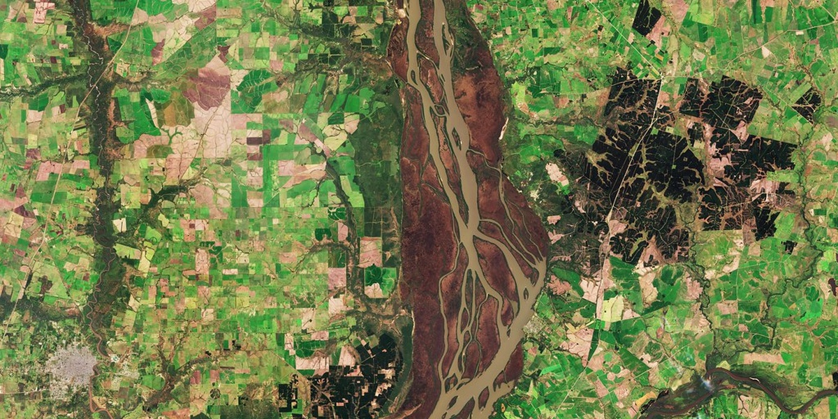
| Uruguay River | 1,838 | Río de la Plata | Artigas,Salto,Paysandú,Río Negro,Soriano,Colonia;Major border river draining into Río de la Plata |
| Río Negro | 750 | Uruguay River | Tacuarembó,Durazno,Río Negro,Soriano,Paysandú;Longest river entirely in Uruguay |
| Santa Lucía | 260 | Río de la Plata | Canelones,San José,Montevideo;Main drinking-water source for Montevideo |
| Río Yí | 210 | Río Negro | Florida,Durazno,Flores,Soriano;Important central tributary of Río Negro |
| Tacuarembó | 260 | Río Negro | Tacuarembó;Major northern tributary feeding Río Negro |
| Cebollatí | 230 | Merín Lagoon | Treinta y Tres,Rocha,Cerro Largo;Drains east into Laguna Merín, coastal lagoon |
| Cuareim (Quaraí) | 340 | Uruguay River | Artigas;Border river with Brazil in northern Uruguay |
| Arapey Grande | 200 | Uruguay River | Artigas,Salto;Known for hot springs and rural scenery |
| Daymán | 160 | Uruguay River | Salto;Popular thermal river with nearby resorts |
| Queguay | 150 | Uruguay River | Paysandú;Tributary with scenic gorges and fishing spots |
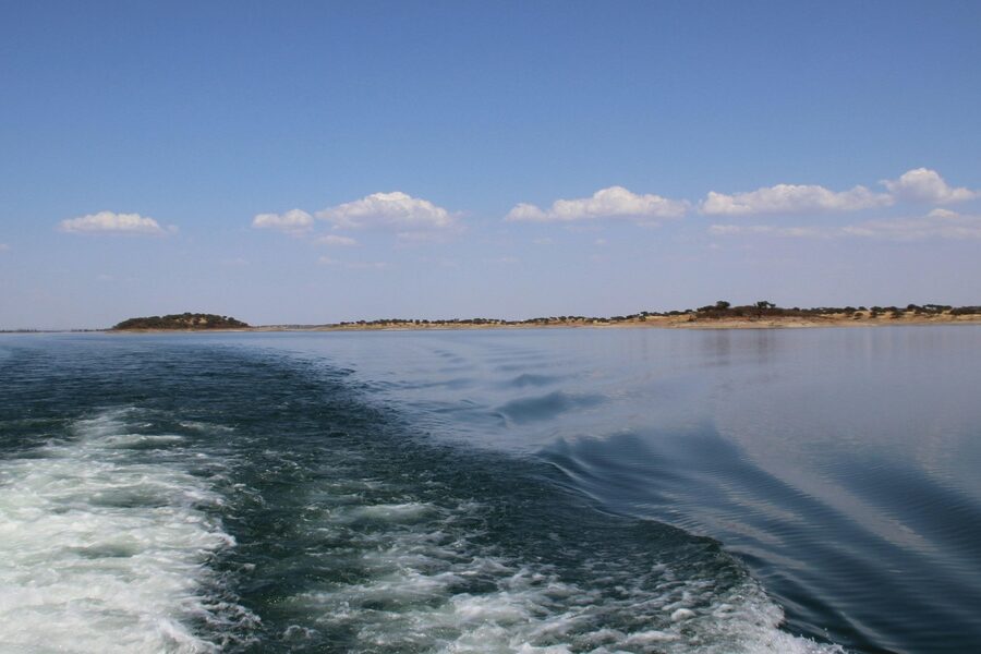
| Río de la Plata | 290 | Atlantic Ocean | Montevideo,Colonia,San José;Broad estuary between Uruguay and Argentina, opening Atlantic |
| Olimar Grande | 140 | Cebollatí | Treinta y Tres;Landmark river near Treinta y Tres, popular for canoeing |
Images and Descriptions

Uruguay River
The Uruguay River is the main river on Uruguay’s western edge. It forms much of the border with Argentina. It flows southwest to join the Paraná and form the Río de la Plata estuary. It powers dams, supports navigation, and shapes many towns along its banks.

Río Negro
Río Negro crosses central Uruguay from east to west. It drains a large basin and empties into the Uruguay River. It forms big reservoirs used for hydroelectric power and irrigation. It ranks as one of the country’s longest rivers.
Santa Lucía
Santa Lucía runs near Montevideo and supplies much of the capital’s drinking water. It flows south to the Río de la Plata. It passes through agricultural and suburban areas and has important water-treatment works. It is a key lowland river for southern Uruguay.
Río Yí
Río Yí flows across central Uruguay and joins the Río Negro. It drains midland plains and passes through rural departments. It serves local agriculture and small towns. It is a classic interior tributary of national importance.
Tacuarembó
Tacuarembó River runs in northern Uruguay and drains highland areas of the country. It joins larger rivers of the Río Negro basin. It gives its name to the Tacuarembó Department and city. It is important for local water use and river valleys.
Cebollatí
Cebollatí River drains eastern Uruguay and flows toward Laguna Merín on the Brazil border. It forms part of the wetland systems of the east. It supports fisheries and local transport in lowland areas. It connects inland rivers to the Merín lagoon basin.
Cuareim (Quaraí)
Cuareim, called Quaraí in Brazil, forms a stretch of the northern border with Brazil. It runs west to join the Uruguay River system. It defines international limits and crosses rural frontier zones. It is a key border waterway in the north.
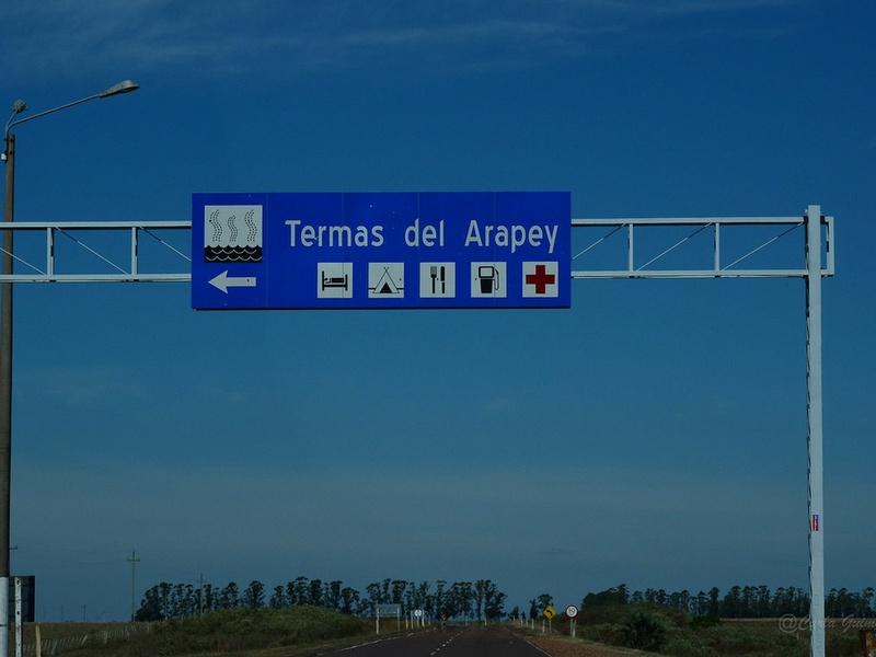
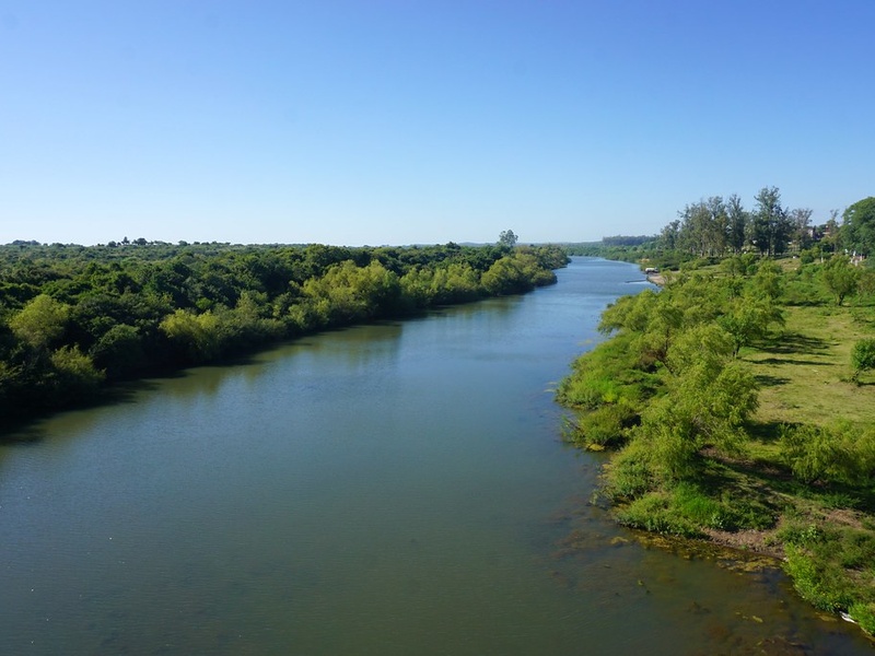
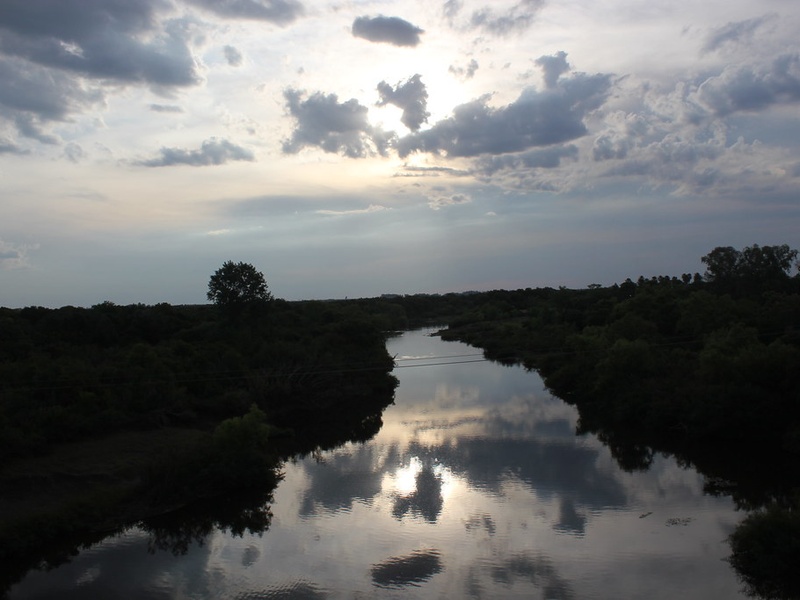
Arapey Grande
Arapey Grande flows in the northwest and feeds the Uruguay basin. It passes near hot springs known for tourism and health resorts. It supports local farming valleys and small towns. It is notable for its thermal tourism and inland valleys.
Daymán
Daymán River runs near the city of Salto in the northwest. It feeds the Uruguay River system and hosts well-known hot springs. It supports tourism and local recreation. It is an important small river for the northwest region.
Queguay
Queguay River flows in western Uruguay toward the Uruguay River. It drains upland and wetland areas and passes through rural departments. It supports local agriculture and wildlife habitats. It is a typical western tributary of national interest.
Río de la Plata
Río de la Plata is a wide estuary where the Uruguay and Paraná rivers meet. It forms the southern border and opens to the Atlantic Ocean. It serves major ports, shipping lanes, and coastal cities. It is the main mouth for many Uruguayan rivers.
Olimar Grande
Olimar Grande flows in eastern Uruguay through the Treinta y Tres area. It feeds the eastern river network that reaches Laguna Merín. It cuts scenic valleys and supports local towns and farms. It is a notable river of eastern Uruguay.