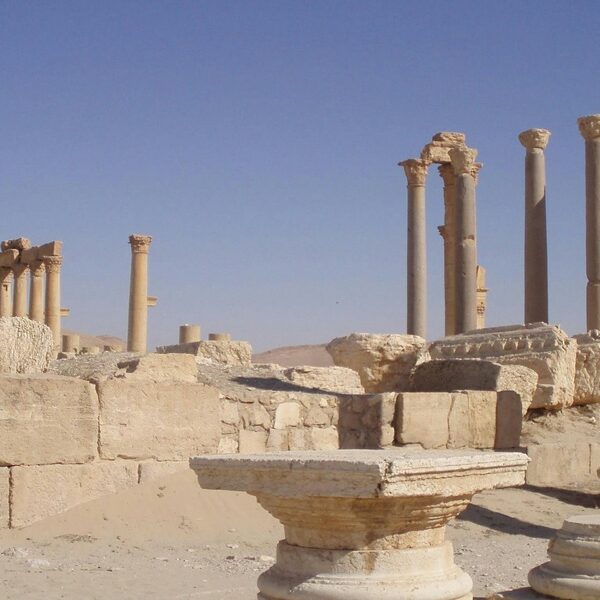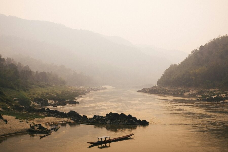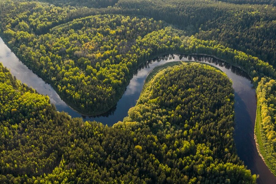
Turkmenistan is largely desert, but a handful of rivers carve out fertile corridors, support irrigation and settlements, and trace borders with neighboring countries. These waterways are central to regional agriculture and local ecosystems despite the arid surroundings.
There are 5 Rivers in Turkmenistan, ranging from Amu Darya to Tejen. For each river I list, entries are organized with Length (km), Source → Mouth, Countries in basin to make quick comparisons easy — details you’ll find below.
Which river provides the most water to Turkmenistan?
The Amu Darya is the primary source of river water affecting Turkmenistan, contributing the largest flows available for irrigation and replenishing downstream systems; however, much of its water is heavily managed and diverted for agriculture across the basin.
Are these rivers navigable or mainly used for irrigation and local supply?
Most rivers in Turkmenistan are not commercially navigable; they are short or seasonal within the country and are primarily managed for irrigation, reservoirs and local water supply rather than transport.
Rivers in Turkmenistan
| Name | Length (km) | Source → Mouth | Countries in basin |
|---|---|---|---|
| Amu Darya | 2,540 | Pamir & Vakhsh/Panj confluence → Aral Sea (delta) | Afghanistan,Tajikistan,Turkmenistan,Uzbekistan |
| Murghab | 978 | Hindu Kush foothills (Afghanistan) → Karakum Desert (disappears) | Afghanistan,Turkmenistan |
| Tejen | 1,150 | Central Afghanistan (Harirud) → Karakum Desert (ends near Tejen) | Afghanistan,Iran,Turkmenistan |
| Atrek | 669 | Kopet Dag slopes (Iran) → Caspian Sea | Iran,Turkmenistan |
| Sumbar | 245 | Kopet Dag (Iran) → joins Atrek near border | Iran,Turkmenistan |
Images and Descriptions
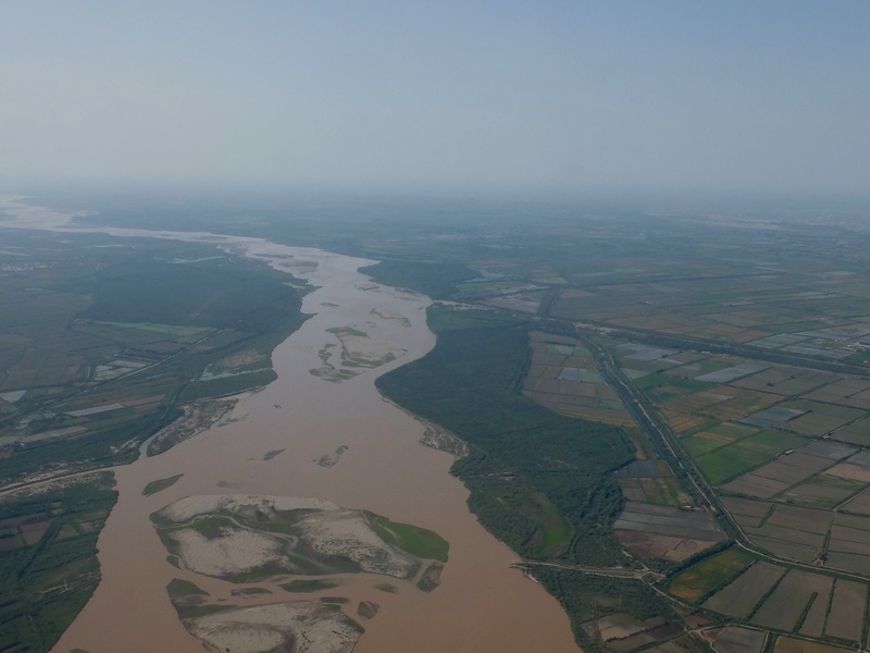
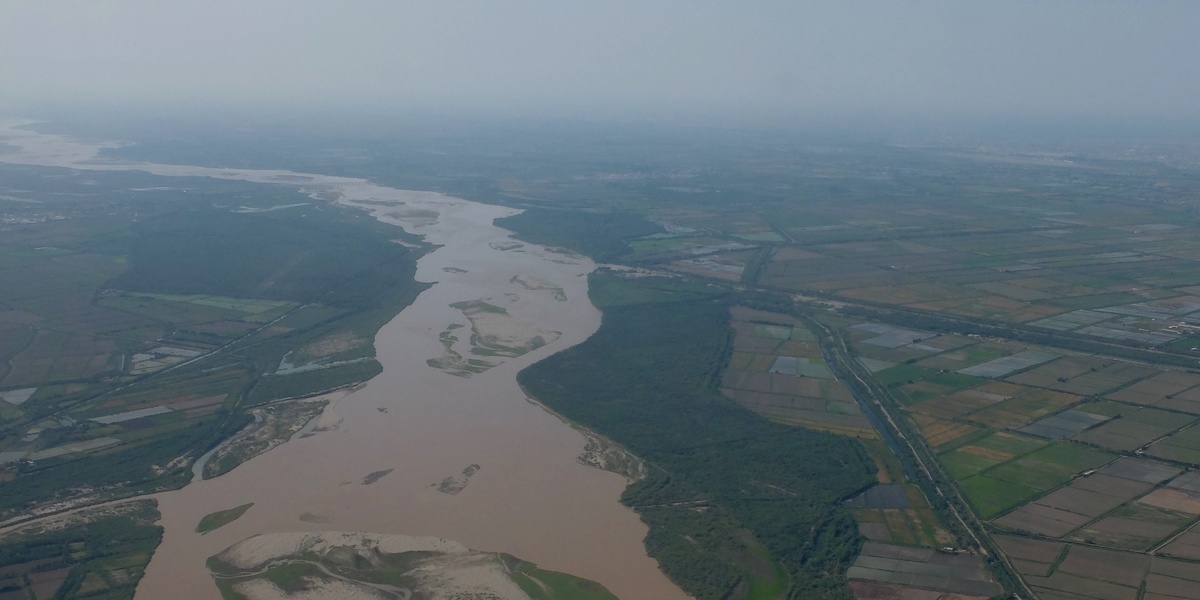
Amu Darya
Name the largest river affecting Turkmenistan and one of Central Asia’s main rivers. It rises in the high Pamir and Hindu Kush region as the Panj and Vakhsh rivers join. It flows northwest and historically empties into the Aral Sea, though heavy irrigation has changed its lower course. It forms part of Turkmenistan’s northern border and supplies major irrigation for agriculture. Include it because it is the longest and most influential river in the country’s basin.
Murghab
Identify a transboundary river that rises in central Afghanistan and flows northwest into Turkmenistan. It enters the Karakum Desert and ends in inland delta and irrigation works near the Mary region. It supplies water to oases and farms and has strong seasonal flow from mountain snowmelt. Include it because it supports key Turkmen agricultural areas.
Tejen
List a western Central Asian river that flows from mountain foothills near the Iran–Turkmenistan–Afghanistan area into Turkmenistan. It fades into the Karakum Desert and local irrigation networks rather than reaching the sea. It often shows seasonal flow and heavy use for irrigation. Include it because it is a major regional river feeding Turkmenistan’s interior basins.

Atrek
Name the river that rises in northeastern Iran and flows north along the Iran–Turkmenistan border. It empties into the southern Caspian Sea. It serves as an important transboundary watershed and border river. Include it because it links Turkmenistan to the Caspian drainage and forms a clear international basin.
Sumbar
Note a tributary of the Atrek that runs through parts of Iran and Turkmenistan. It rises in nearby mountains and joins the Atrek before that river reaches the Caspian. It has seasonal flow and local importance for irrigation and grazing. Include it because it is part of the Atrek basin and matters for local water use and border hydrology.