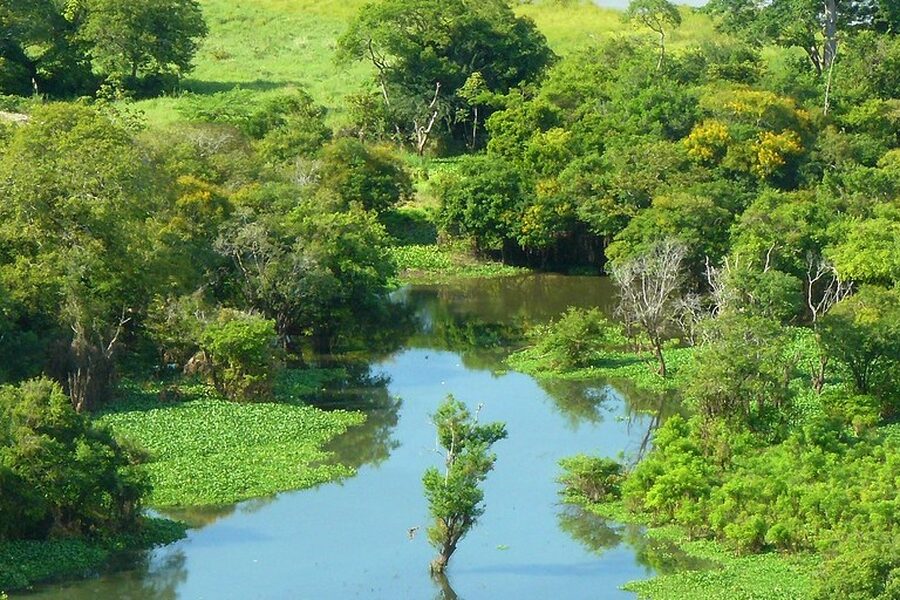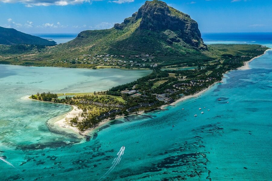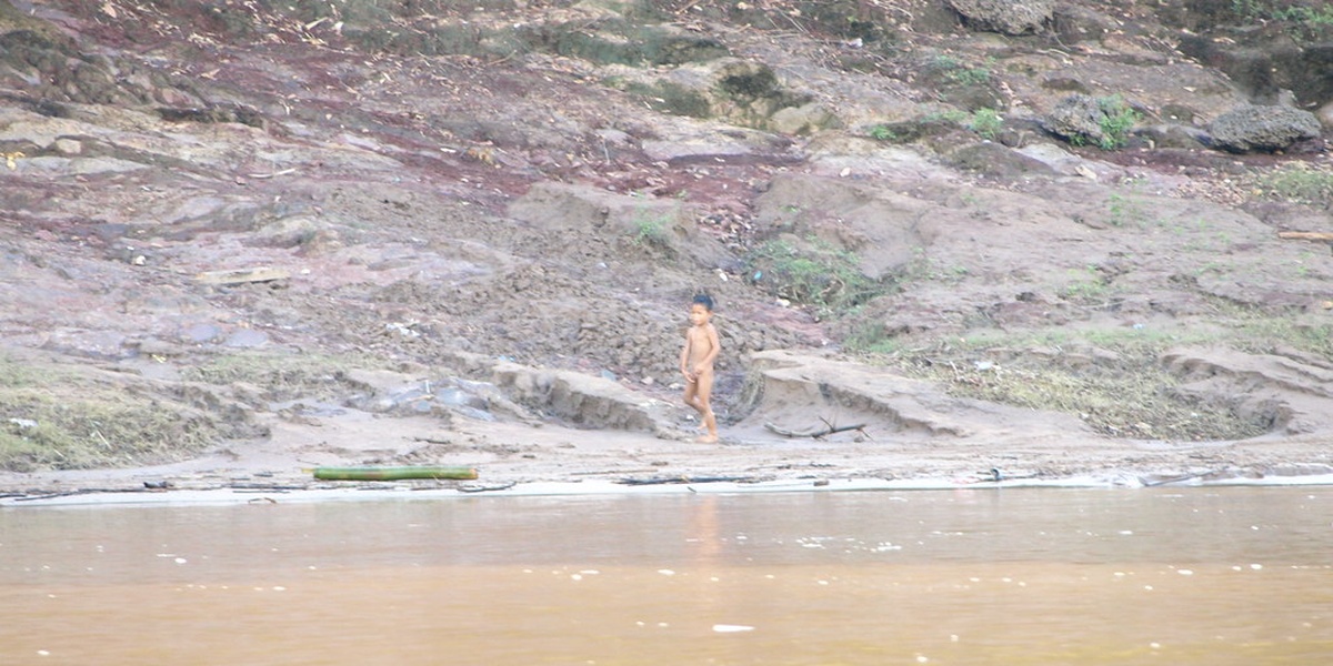
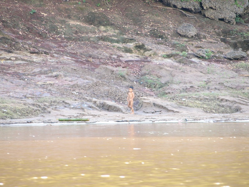
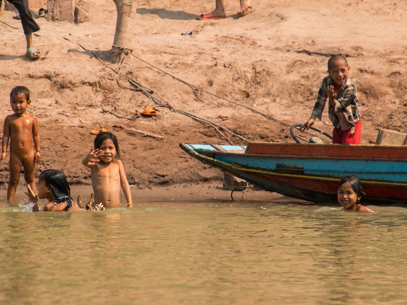
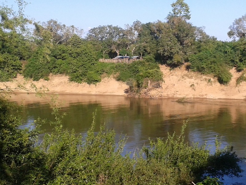
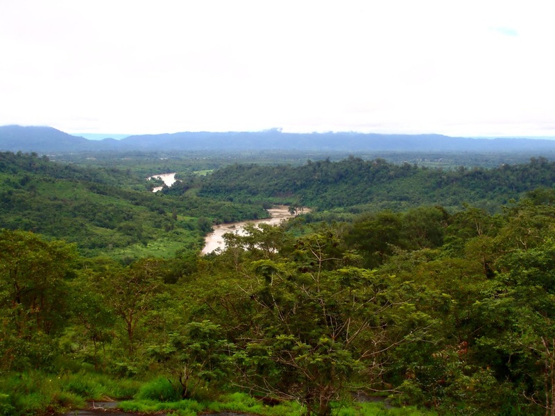
Laos’ landscape is shaped by a dense network of waterways that carve valleys, feed wetlands, and support rice paddies and riverine communities. These rivers influence local transport, fisheries, seasonal flooding, and everyday life across multiple provinces.
There are 19 Rivers in Laos, ranging from the Mekong to the Xe Pian; for each entry I list Length (km),Basin / Mouth,Provinces; notable (<=15 words) — you'll find below.
Which river is the longest in Laos?
The Mekong is by far the longest and most significant, running along and through much of the country and serving as a major transport corridor, fishery source, and ecological backbone for communities and ecosystems.
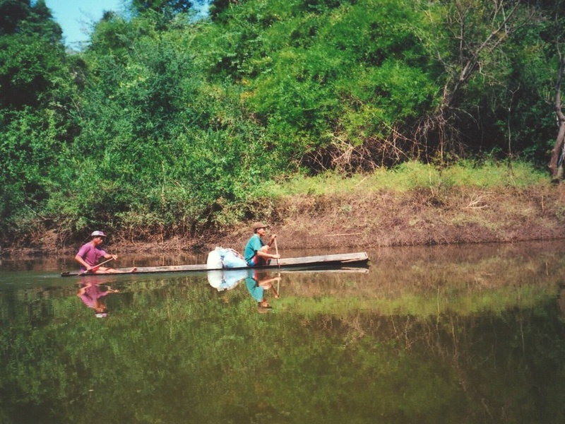
Which rivers are navigable for travel or transport?
Major lowland rivers like sections of the Mekong and some tributaries are navigable seasonally or year-round for smaller boats; many highland streams are too shallow or rapid for regular transport, so check local conditions and seasonal water levels.
Rivers in Laos
| Name | Length (km) | Basin / Mouth | Provinces; notable (<=15 words) |
|---|---|---|---|
| Mekong | 4,350 | Mekong Delta (Vietnam) | Phongsaly,Oudomxay,Luang Prabang,Bokeo,Sayaboury,Vientiane,Bolikhamxay,Khammouane,Savannakhet,Salavan,Champasak;major international river, forms much of Laos–Thailand border |
| Nam Ou | 448 | Mekong at Pak Ou (Luang Prabang) | Phongsaly,Oudomxay,Luang Prabang;scenic gorge cruises, caves and ethnic villages |
| Nam Ngum | 370 | Mekong near Vientiane | Xaisomboun,Vientiane Province;large reservoir and major hydroelectric dam |
| Nam Khan | 120 | Mekong at Luang Prabang | Luang Prabang Province;popular for rafting, kayaking and river transport |
| Nam Song | 120 | Mekong at Vang Vieng | Vientiane Province;famous for tubing and limestone karst scenery |
| Xe Bang Fai | 360 | Mekong at Khammouane | Bolikhamxay,Khammouane;famous Khonglor cave system and seasonal floods |
| Sekong (Xe Kong) | 480 | Mekong in Cambodia | Sekong,Attapeu,Salavan;major tributary entering Mekong in Cambodia |
| Xe Don | 200 | Mekong at Pakse | Champasak Province;important local fishery and seasonal flows |
| Xe Pian | 180 | Sekong / Mekong basin | Attapeu,Champasak;Xe Pian protected area, important wetland habitats |
| Xe Kaman | 220 | Sekong basin | Attapeu Province;remote highland river supporting local communities |
| Nam Theun | 250 | Mekong basin (via Sekong/Xe Bang Fai) | Xaisomboun,Bolikhamxay,Khammouane;site of Nam Theun 2 hydropower project |
| Nam Kading | 220 | Mekong at Thakhek area | Bolikhamxay,Khammouane;flows through Nam Kading National Protected Area |
| Nam Ngiep | 180 | Nam Ngum basin (Mekong system) | Xaisomboun,Bolikhamxay;site of Nam Ngiep hydropower developments |
| Nam Lik | 140 | Nam Ngum basin | Vientiane Province;tributary noted for rapids and local dams |
| Nam Leuk | 80 | Nam Ngum | Vientiane Province;small dam and nearby whitewater stretches |
| Xe Champhone | 150 | Mekong at Savannakhet | Khammouane,Savannakhet;drains the central plain into the Mekong |
| Nam Oung | 130 | Mekong basin | Luang Prabang,Phongsaly;upper tributary with remote ethnic villages |
| Nam Phak | 160 | Mekong basin | Luang Prabang,Vientiane Province;widely used for local transport and irrigation |
| Nam Pak (Nam Pakk) | 140 | Mekong basin | Oudomxay,Luang Prabang;mountain-fed tributary with waterfalls and caves |
Images and Descriptions
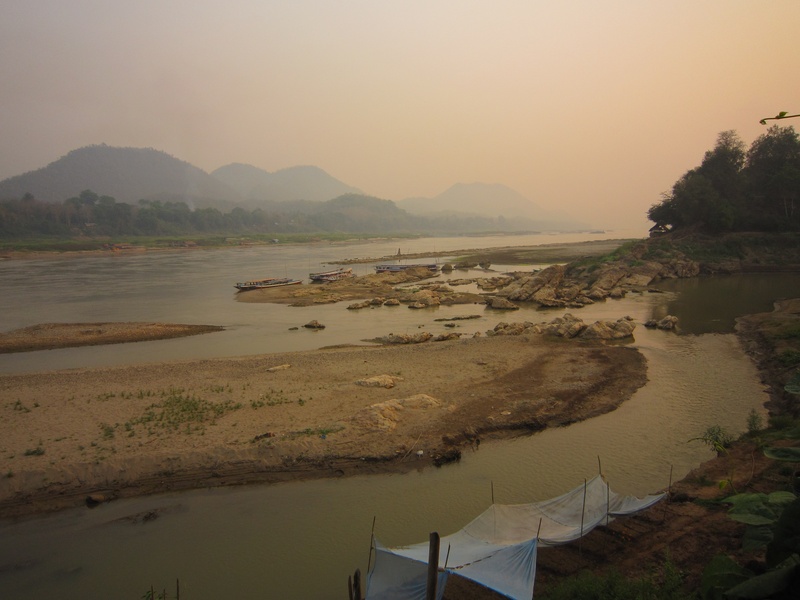
Mekong
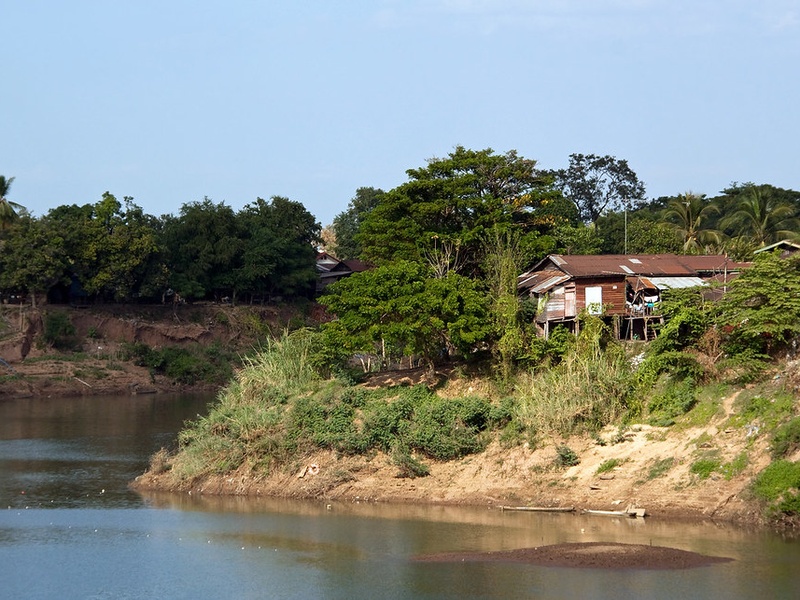
The Mekong is the main river that runs along and through Laos. It flows north to south and forms much of the border with Thailand. It supports transport, fishing, irrigation, and major cities. Include it as the central artery of Laos waterways and the basin for many tributaries.
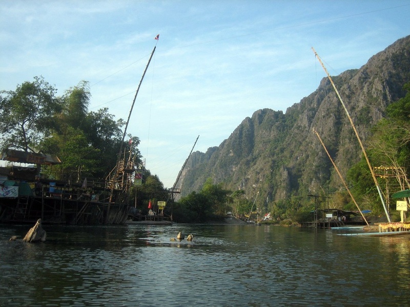
Nam Ou
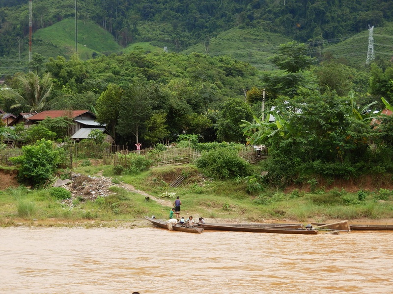
Nam Ou is a large northern tributary of the Mekong. It runs from the mountains of northern Laos and joins the Mekong near Luang Prabang. It is known for scenic boat travel, karst valleys, and several hydropower projects.
Nam Ngum
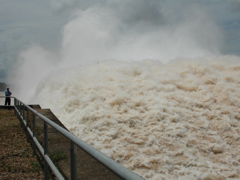
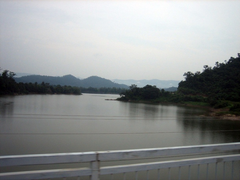
Nam Ngum is a central-northern river that feeds the Mekong basin. It forms the Nam Ngum Reservoir and dam, a major water and power source near Vientiane. It is important for irrigation, fisheries, and electricity.
Nam Khan
Nam Khan flows into the Mekong at Luang Prabang. It drains highland valleys west of the city. It is popular for short boat trips, rafting, and local transport.
Nam Song
Nam Song runs through the Vang Vieng valley in central Laos. It drains limestone hills and seasonal plains. It is famous for tubing, caves, and riverside karst scenery.
Xe Bang Fai
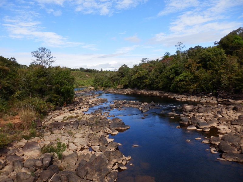
Xe Bang Fai is a central-southern river in the Mekong basin. It passes through karst country and feeds large limestone caves and underground passages. It supports local fisheries and seasonal flooding patterns.

Sekong (Xe Kong)
The Sekong, also called Xe Kong, is a major eastern river that flows from Vietnam through Laos into Cambodia. It joins the Mekong in Cambodia and carries important fish migrations and cross-border trade.
Xe Don
Xe Don runs in southern Laos and joins the Mekong in the Khong Islands area. It creates seasonal wetlands and islands. It supports rice farming, fisheries, and local boat traffic.
Xe Pian
Xe Pian is an eastern-southern river in Attapeu province. It lies inside the Xe Pian National Protected Area and links to the Xe Pian-Xe Nam Noy hydropower system. It is known for rich wetlands and wildlife habitat.
Xe Kaman
Xe Kaman is a southern tributary in the Mekong basin. It drains forested highlands and feeds lowland floodplains. It matters for local fisheries and rural livelihoods.
Nam Theun
Nam Theun is a central river and a major hydropower watershed. It is the site of the large Nam Theun 2 project and linked conservation programs. It plays a key role in national power supply and watershed management.
Nam Kading
Nam Kading flows through central Laos into the Mekong system. It runs through the Nam Kading Protected Area and supports diverse wildlife. It is important for biodiversity and freshwater habitats.
Nam Ngiep
Nam Ngiep is a central river that joins the Mekong basin. It hosts hydropower projects and runs through forested catchments. It provides local power, riverine fish, and watershed services.
Nam Lik
Nam Lik is a central Laos river that drains limestone hills and plains. It serves local agriculture and tourism near Vang Vieng and nearby districts. It feeds larger rivers toward the Mekong.
Nam Leuk
Nam Leuk is a tributary in central Laos with a small reservoir and local hydropower infrastructure. It drains upland areas and supports irrigation and village fisheries.
Xe Champhone
Xe Champhone runs in southern-central Laos and drains into the Mekong near Savannakhet. It forms important floodplains used for rice growing and seasonal wetlands for birds and fish.
Nam Oung
Nam Oung is a smaller river in northern or central Laos that feeds the Mekong system. It serves local villages, irrigation, and small-scale fisheries. Include it as a regional tributary often cited in maps.
Nam Phak
Nam Phak is a lesser-known tributary in central Laos. It drains upland watersheds into larger rivers. It supports local agriculture and small communities along its banks.
Nam Pak (Nam Pakk)
Nam Pak, sometimes spelled Nam Pakk, is a local river name used in parts of Laos. It designates smaller tributaries that feed the Mekong basin. Note the naming variant for local maps and records.