No rivers in Seychelles meet the criteria for a complete, named list
Define the criteria strictly: named, perennial rivers with measurable length and clear source and mouth. Under that definition, Seychelles returns no entries. The islands have many short watercourses and named streams on maps, but none fit the classic definition of long, perennial rivers that a “complete list” would require.
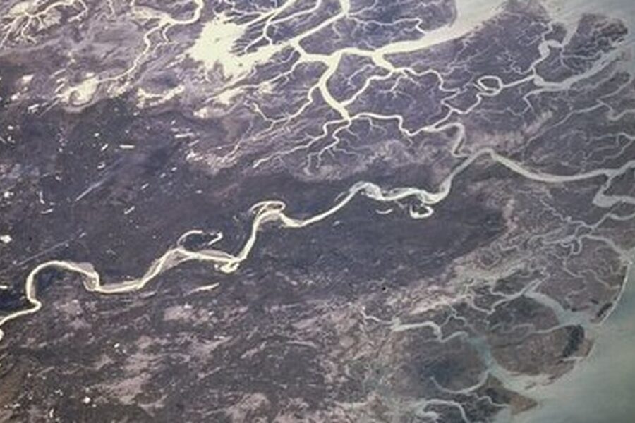
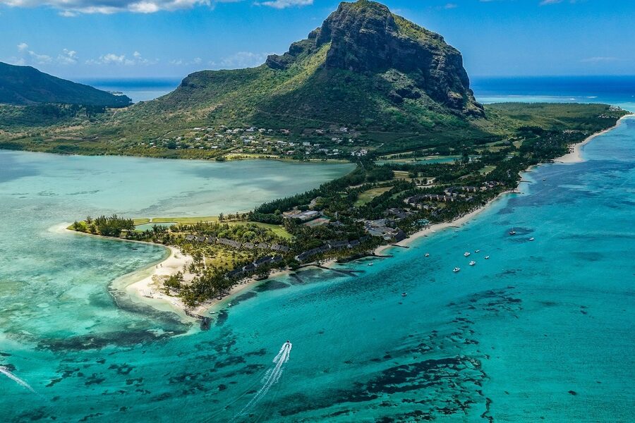
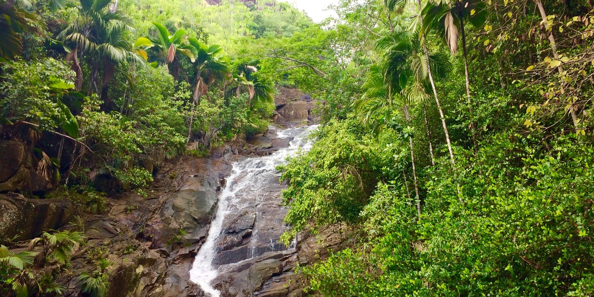
Understand why this creates an empty result. Seychelles is a small, oceanic archipelago of granite and coral islands. Catchments are short and steep. Rain falls and runs quickly to the sea. Most waterways are brief gullies, seasonal streams, springs, or cascades. Maps and OpenStreetMap show many rivières and streams, but these are local, often intermittent features—not long perennial rivers with defined lengths and mouths that meet the list criteria.
Note the technical and historical reasons behind the absence. Geology and island size limit watershed area. Tropical storms produce intense but short-lived flow rather than sustained rivers. Local naming follows French/Creole conventions—many features are called “rivière” or “cascade” even when they are short or seasonal. Authoritative sources (Seychelles topographic maps, government water reports, and OSM) document small streams, springs, and watershed areas instead of major rivers.
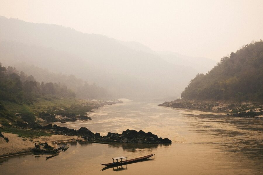
Explore close alternatives and related categories instead. Look for named streams and cascades on Mahé, Praslin and La Digue recorded on topographic maps and OSM. Study freshwater sources and watersheds (Morne Seychellois and other reserves), coastal estuaries and mangrove-lined creeks, and man-made reservoirs. For broader river lists, compare with nearby islands (Mauritius, Madagascar) which do have long rivers. Use official Seychelles maps and OpenStreetMap data if you want a sortable table of streams, springs and catchments by island.