Egypt’s waterways have defined settlement, agriculture and travel across the country, cutting fertile corridors through deserts and linking coastal regions to inland oases. Beyond the Nile, a mix of canals, tributaries and wadis play practical roles in irrigation, drainage and local ecosystems.
There are 22 Rivers in Egypt, ranging from Bahr Yussef to Wadi al-Tih. For each entry you’ll find below the details organized as Type,Location (region/governorates),Length (km) and meaning/notes so you can quickly see where a river runs, how long it is and any historical or linguistic notes.
Are the rivers listed all perennial or do some flow only seasonally?
Some are perennial (notably Nile branches and large canals) while many entries are seasonal wadis or man-made channels that flow mainly after rains or during irrigation seasons; check the Type column and the meaning/notes for flow characteristics and local usage.
How reliable and useful is this list for research or travel planning?
The list is a solid starting point—lengths, locations and notes give practical context—but for fieldwork or navigation confirm coordinates and recent maps, and consult local authorities for access, seasonal conditions and updates.
Rivers in Egypt
| Name | Type | Location (region/governorates) | Length (km) and meaning/notes |
|---|---|---|---|
| Nile | Nile mainstem | All Nile governorates(Aswan→Alexandria) | 1,550 km – Egypt’s Nile stretch, primary freshwater lifeline |
| Rosetta (Rashid) | delta branch | Nile Delta(Beheira,Gharbia) | 200 km – Northwestern active distributary; important for delta agriculture |
| Damietta | delta branch | Nile Delta(Damietta,Dakahlia) | 245 km – Northeastern distributary; port and fertile agriculture corridor |
| Canopic (Kanopos) | ancient branch | Western Nile Delta(Alexandria region) | 180 km – Ancient western branch; now largely silted and archaeological |
| Pelusiac | ancient branch | Eastern Nile Delta(Port Said area) | 150 km – Ancient eastern channel to Pelusium; historically strategic |
| Tanitic | ancient branch | Central Nile Delta(Dakahlia/Sharqia) | 130 km – Historic channel active in classical era; now mostly dry |
| Mendesian | ancient branch | Central Nile Delta(Monufia/Gharbia) | 140 km – Ancient branch near Mendes; important in pharaonic irrigation |
| Sebennytic | ancient branch | Southern Nile Delta(Monufia/Sharqia) | 160 km – Old delta channel with archaeological significance |
| Bahr Yussef | canal/ancient branch | Faiyum region(Fayoum,Giza) | 160 km – Ancient canal feeding Faiyum Oasis; crucial irrigation artery |
| Bahr el-Baqar | canal | Nile Delta(Dakahlia,Ismailia) | 120 km – Major delta drain to Lake Manzala; supports agriculture and drainage |
| Suez Canal | canal | Suez,Ismailia,Port Said | 193.30 km – Major shipping canal linking Mediterranean to Red Sea |
| Mahmoudiyah Canal | canal | Alexandria,Gharbia,Beheira | 230 km – Historic freshwater route connecting the Nile to Alexandria |
| Ismailia (Sweet Water) Canal | canal | Ismailia,Suez,Cairo fringe | 130 km – Built to supply Suez with Nile fresh water |
| Ibrahimiya Canal | canal | Upper Egypt(Minya,Beni Suef) | 300 km – Major Upper Egypt irrigation canal from the Nile |
| Sheikh Zayed (Toshka/New Valley) Canal | canal | Aswan,New Valley | 310 km – Modern transfer canal for desert reclamation and agriculture |
| Wadi al-Arish | wadi | North Sinai(Arish area) | 200 km – Largest Sinai wadi draining to Mediterranean at Al-Arish |
| Wadi Feiran | wadi | South Sinai(St Catherine region) | 60 km – Sinai’s main oasis valley; historical pilgrimage route |
| Wadi Hammamat | wadi | Eastern Desert(Qena→Red Sea fringe) | 120 km – Ancient quarry and caravan route to the Red Sea |
| Wadi Rayan | wadi | Faiyum Governorate | 50 km – Major western desert wadi feeding Wadi Rayan lakes |
| Wadi El-Natrun | wadi | Beheira Governorate | 80 km – Depression valley with historic salt lakes and monasteries |
| Wadi al-Tih | wadi | Northwest Sinai | 200 km – Long desert valley along Sinai plateau; historic caravan path |
| Wadi Gimal | wadi | Red Sea coast(South Sinai/Red Sea) | 70 km – Coastal wadi in protected area; notable biodiversity |
Images and Descriptions
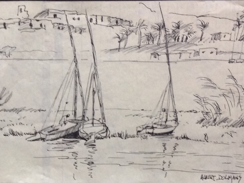
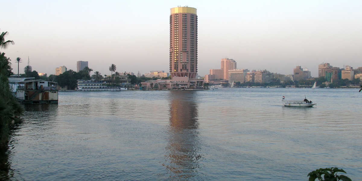
Nile
The Nile is Egypt’s main river and the longest river in the world at about 6,650 km. It flows north through Sudan into Egypt and empties into the Mediterranean Sea. It supplies nearly all of Egypt’s fresh water, supports agriculture, cities, and historical sites, and forms the Nile Delta in northern Egypt.
Rosetta (Rashid)
Rosetta (Rashid) is one of the two modern main distributaries of the Nile in the Nile Delta. It branches westward and reaches the Mediterranean near the town of Rashid. It serves irrigation and navigation in the western delta and is included as a primary Nile branch.
Damietta
Damietta is the other primary modern distributary of the Nile in the delta, flowing north to the Mediterranean near the city of Damietta. It carries large volumes of water and supports delta agriculture, fishing, and ports. Include it as a key Nile outlet.

Canopic (Kanopos)
The Canopic or Kanopos branch is an ancient western Nile channel of the delta that has largely silted up. It once served the western Nile delta region and held historical ports and settlements. Include it as an important historical branch of the Nile Delta.
Pelusiac
The Pelusiac branch was an eastern Nile channel that reached the Mediterranean near Pelusium in antiquity. It now largely ceased as a clear river course but shaped ancient routes and settlements along Egypt’s eastern delta. Include it for historical context.
Tanitic
The Tanitic branch was a former Nile distributary in the eastern delta. It played a role in irrigation and local settlements in ancient times but no longer exists as a major flowing channel. Mention it as part of the delta’s changing waterways.
Mendesian
The Mendesian branch was a Nile distributary named for the ancient city of Mendes. It served delta agriculture and towns in antiquity and later diminished due to siltation and redirection of river flow. Include it to show past delta river diversity.
Sebennytic
The Sebennytic branch was another historic channel of the Nile Delta that supported local towns and farmland. It has changed over centuries and left traces in delta geography and place names. Note it as an ancient delta branch.
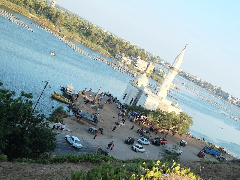
Bahr Yussef
Bahr Yussef is an ancient canal-like branch that links the Nile near Minya to the Faiyum depression. It carries water into the Faiyum oasis and helps irrigation there. Include it because it remains an active waterway with strong historical importance.
Bahr el-Baqar
Bahr el-Baqar is a large drainage and irrigation canal system in the eastern Nile Delta. It channels agricultural runoff and fresh water across several governorates. Mention it as a major delta waterway used today for farming and drainage.

Suez Canal
The Suez Canal is a man-made sea-level shipping canal that connects the Mediterranean Sea to the Red Sea through Egypt. It crosses the Isthmus of Suez and supports global maritime trade. Include it because it is a major engineered waterway on Egyptian territory, though not a natural river.
Mahmoudiyah Canal
The Mahmoudiyah Canal links the Nile or Lake Mariout to Alexandria and serves the Alexandria region. Built and modernized in recent centuries, it supplies water and supports local navigation. Include it as an important regional canal.
Ismailia (Sweet Water) Canal
The Ismailia or Sweet Water Canal brings fresh Nile water toward the Suez region and supplies towns like Ismailia and Suez. It supports drinking water, irrigation, and the Suez Canal cities. Note it as a key supply canal rather than a natural river.
Ibrahimiya Canal
The Ibrahimiya Canal is a major irrigation canal in the Nile Delta built to distribute Nile water across agricultural lands. It supports crops and local communities in delta governorates. Include it for its importance to modern irrigation.
Sheikh Zayed (Toshka/New Valley) Canal
The Sheikh Zayed or Toshka/New Valley Canal is a large modern canal project that diverts Nile water toward the Western Desert and New Valley development areas. It supports land reclamation and new agriculture projects. Include it as a recent, strategic irrigation canal.
Wadi al-Arish
Wadi al-Arish is a seasonal dry river valley (wadi) in northern Sinai that drains toward the Mediterranean near Al-Arish. It flows only after heavy rain and shapes local drainage and transport routes. Include it as a notable non-perennial waterway in Sinai.

Wadi Feiran
Wadi Feiran is a broad valley and oasis area in southern Sinai near Saint Catherine. It carries seasonal runoff and hosts historic settlements and palms. Mention it as an important Sinai wadi with cultural and geographic significance.
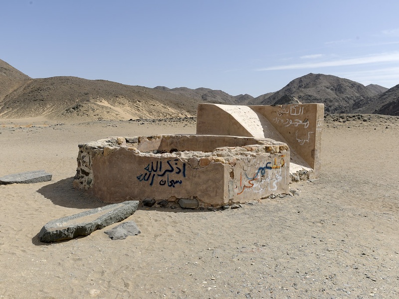
Wadi Hammamat
Wadi Hammamat is a rocky desert valley in Egypt’s Eastern Desert that served as an ancient caravan and trade route from the Nile to the Red Sea. It contains quarry sites and rock art. Include it for historical river-like pathways used for transport and water access.

Wadi Rayan
Wadi Rayan is a depression in the Faiyum region that now contains two man-made lakes fed by agricultural drainage. It is Egypt’s largest natural depression and shows modern water management in former dry valleys. Include it as an example of seasonal/depression waterways turned into lakes.
Wadi El-Natrun
Wadi El-Natrun is a low depression west of the Nile Delta known for salt lakes and early Christian monasteries. It contains seasonal marshes and depressions rather than a permanent river. Include it for its historical and geographic role in the delta fringe.
Wadi al-Tih
Wadi al-Tih is a desert valley in the Sinai that runs roughly northwest toward the Suez region and contains seasonal streams. It forms a traditional route across Sinai and supports sparse oases. Mention it as part of Sinai’s system of dry riverbeds.
Wadi Gimal
Wadi Gimal is a coastal and inland wadi area along Egypt’s Red Sea coast and part of the Gebel Elba/Wadi Gimal protected landscapes. It supports seasonal runoff, unique plants, and wildlife. Include it to show coastal desert waterways and protected natural zones.