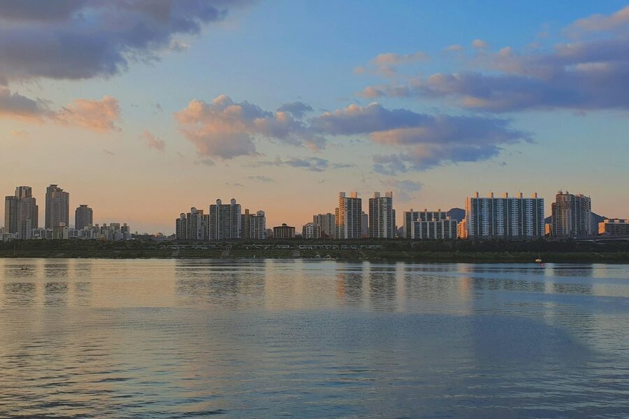
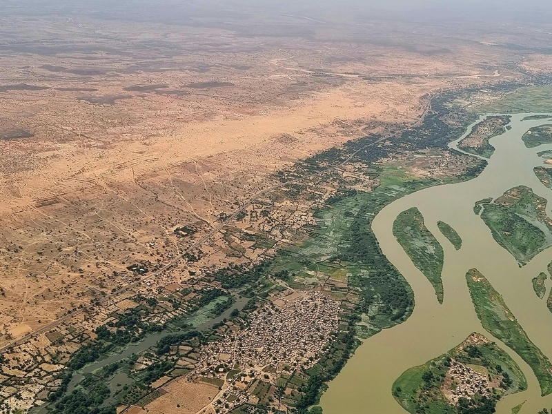
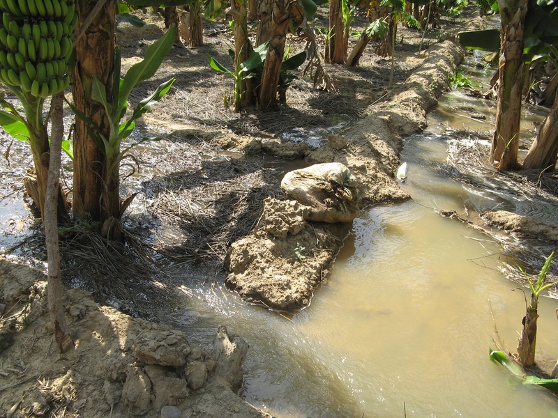
Mali’s landscapes are threaded by rivers that shape its climate, agriculture and settlements from the Sahel to the floodplains. These waterways connect remote highlands to the Niger’s inland delta and play a central role in transport, fishing and seasonal flooding.
There are 11 Rivers in Mali, ranging from Bafing to Tilemsi. For each entry you’ll find below Basin / Tributary,Length (km),Notable / Source→Mouth (max 15 words), organized so you can compare size and significance at a glance — you’ll find below.
Which river on the list is the longest and where does it flow?
The longest river will typically be the main Niger channel or one of its major tributaries; check the Length (km) column in the table below to confirm exact figures and follow the Notable / Source→Mouth entry for its course and endpoints.
How do these rivers affect local communities and ecosystems?
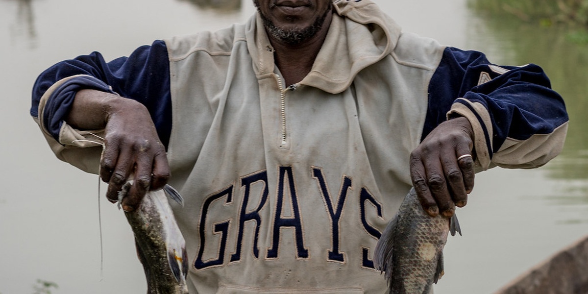
Rivers in Mali provide irrigation, fishing, seasonal transport and groundwater recharge; the Notable / Source→Mouth notes highlight floodplain farming areas, towns served and ecological zones so you can see community and habitat connections quickly.
Rivers in Mali
| Name | Basin / Tributary | Length (km) | Notable / Source→Mouth (max 15 words) |
|---|---|---|---|
| Niger | Niger / Main stem | 4,180 | Bamako, Mopti; major navigation and commerce; Guinea→Nigeria |
| Senegal | Senegal / Main stem | 1,641 | Kayes region; forms western Mali border; Guinea→Atlantic |
| Bani | Niger / Niger tributary | 1,115 | Feeds Inner Niger Delta; seasonal navigation; central/southern Mali→Niger |
| Sankarani | Niger / Niger tributary | 360 | Sélingué Dam (hydropower); Guinea highlands→joins Niger in Mali |
| Bafing | Senegal / Senegal tributary | 1,120 | Joins Bakoye at Bafoulabé to form Senegal River; Guinea→Mali |
| Bakoye | Senegal / Senegal tributary | 560 | Meets Bafing at Bafoulabé; important Kayes-region river; Guinea→Mali |
| Falémé | Senegal / Senegal tributary | 650 | Gold mining areas; forms Mali–Senegal border sections; Guinea→Senegal |
| Baoulé | Niger / Bani tributary | 520 | Major Bani tributary near Mopti region; rises in Côte d’Ivoire→Mali |
| Bagoé | Niger / Baoulé tributary | 300 | Northern Côte d’Ivoire tributary entering Mali; agricultural basin influence |
| Diaka | Niger / Niger distributary | 200 | Seasonal Inner Niger Delta channel sustaining wetlands; central Mali |
| Tilemsi | Niger / Niger tributary | 350 | Eastern seasonal tributary near Gao; contributes Saharan floodwaters in wet years |
Images and Descriptions
Niger
The Niger River is Mali’s main river and one of West Africa’s longest. It rises in Guinea, crosses Mali (passing Bamako, Ségou, Mopti) and forms the Inner Niger Delta before flowing to Nigeria. It supports farming, fishing, transport, and seasonal floods that renew soils and wetlands. Include it as the central artery of Mali’s hydrology and human life.
Senegal
The Senegal River forms part of western Mali’s drainage and the Mali–Mauritania border. It begins where the Bafing and Bakoye meet and flows to the Atlantic. It supplies irrigation and hydroelectric dams in the Kayes region and has strong seasonal flow. Include it as Mali’s main western basin.

Bani
The Bani River is the largest tributary of the Niger inside Mali. It drains southern Mali and joins the Niger near Mopti to feed the Inner Niger Delta. It floods seasonally and supports rice farming and inland navigation in the wet season. Include it as a key southern feeder of the Niger system.
Sankarani
The Sankarani River rises in Guinea and flows into southern Mali as a tributary of the Niger. It forms the Sélingué reservoir and dam, which provides irrigation and power. It shows strong seasonal variation and helps supply water to Bamako and downstream farms. Include it for its role in hydropower and local irrigation.
Bafing
The Bafing River is a principal headwater of the Senegal River. It rises in the Guinea highlands and meets the Bakoye at Bafoulabé to form the Senegal. It supplies water, fish and seasonal floodplain habitat in western Mali. Include it as a major source of the Senegal basin.
Bakoye
The Bakoye River flows from Guinea into Mali and joins the Bafing at Bafoulabé to form the Senegal River. It carries seasonal rains across the Kayes region and supports local irrigation and fishing. Include it as a key western tributary feeding the Senegal basin.
Falémé
The Falémé River runs along parts of the Mali–Senegal–Guinea area and flows into the Senegal River system. It drains mineral-rich highlands and is known for gold-bearing deposits along its banks. It has seasonal flow and supports local farming and small-scale mining. Include it for its economic and border-basin importance.
Baoulé
The Baoulé River is a southern tributary in the Bani-Niger catchment. It feeds the Bani basin and helps drive seasonal floods used for rice cultivation. It flows through rural areas and supports local fisheries and farms in the wet season. Include it as a notable tributary shaping the Bani system.
Bagoé
The Bagoé River rises near the Ivory Coast border and drains into the Bani/Niger system in southern Mali. It carries seasonal rains northward and supports village agriculture along its banks. It is important for local water supply and as a component of the larger Bani catchment.
Diaka
The Diaka is a seasonal channel in the Inner Niger Delta that opens during high flood years. It links parts of the floodplain to the main Niger flow and becomes navigable in the wet season. It shapes floodplain ecology and local transport when active. Include it as a key seasonal distributary in the delta.
Tilemsi
The Tilemsi is an intermittent river in eastern Mali that drains parts of the Sahel into the Niger basin during heavy rains. It mostly runs in the wet season and forms wide, sandy channels and shallow wetlands. It is important for pastoral use, seasonal grazing and rare floodwater recharge. Include it as a notable ephemeral tributary of the eastern basin.