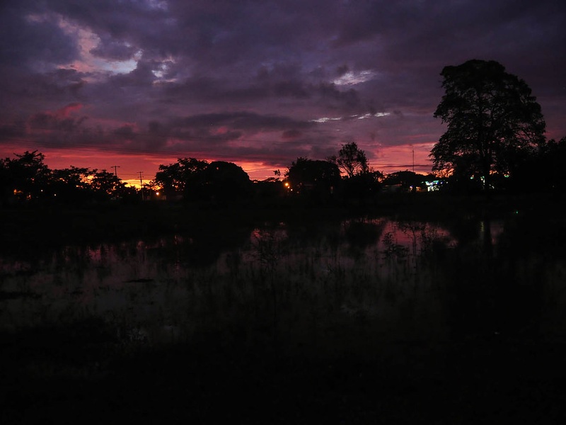
Guatemala’s rivers shape its landscapes, feeding rainforests, valleys and the communities that depend on them. From highland streams to lowland waterways, they reflect the country’s varied climate and play a key role in agriculture, transport and ecological corridors.
There are 18 Rivers in Guatemala, ranging from Achiguate to Usumacinta. Each entry below is organized with the columns Length (km),Departments,Mouth / Basin / Note so you can quickly compare size, location and where the river drains; you’ll find the full list and details below.
How were the river lengths and basin notes determined?
Lengths and basin notes are typically compiled from national hydrological surveys, topographic maps and regional studies; where exact measures vary, figures are presented as best-available estimates and cross-checked against official Guatemalan sources and cartography for consistency.
Which of these rivers are suitable for visiting or recreational use?
Suitability depends on access, flow seasonality and local regulations—lowland rivers like parts of the Usumacinta may offer navigation in wet months, while highland rivers such as Achiguate are often smaller and seasonal; always check local conditions, permits and safety guidance before planning activities.
Rivers in Guatemala
| River | Length (km) | Departments | Mouth / Basin / Note |
|---|---|---|---|
| Usumacinta | 1,000 | Petén,border with Mexico | Gulf of Mexico; formed by Pasión and Salinas |
| Motagua | 486 | Quiché,Chimaltenango,Guatemala,Escuintla,Zacapa,Izabal | Gulf of Honduras; Guatemala’s longest river |
| Polochic | 194 | Alta Verapaz,Izabal | Flows into Lake Izabal; important lowland river |
| Pasión | 320 | Petén | Tributary of Usumacinta; passes major Maya sites |
| Salinas | 240 | Alta Verapaz,Petén | Joins Pasión to form Usumacinta; northern Petén drainage |
| Chixoy (Río Negro) | 221 | Quiché,Huehuetenango | Usumacinta headwater; hydroelectric dams present |
| Cahabón | 190 | Alta Verapaz | Flows to Polochic basin; whitewater and ecotourism river |
| Río Dulce | 43 | Izabal | Flows from Lake Izabal to Gulf of Honduras; scenic waterway |
| Sarstún | 128 | Izabal,Petén | Border with Belize; drains to Gulf of Honduras |
| Suchiate | 161 | San Marcos | Mexico–Guatemala border river; Pacific drainage |
| Samalá | 145 | Quetzaltenango,Retalhuleu | Pacific drainage; prone to flooding and used for irrigation |
| Nahualate | 130 | Suchitepéquez,Escuintla | Pacific river; drains fertile coastal plains |
| Coyolate | 112 | Escuintla,Suchitepéquez | Pacific coastal river; agricultural importance |
| Cuilco | 240 | Huehuetenango,San Marcos | Flows northwest into Mexico; transboundary watershed |
| Mopan | 160 | Petén | Heads in Guatemala, flows to Belize; tributary of Belize River |
| Ixcán | 170 | Quiché,El Quiché | Upper Usumacinta basin tributary; remote highland river |
| Madre Vieja | 85 | Suchitepéquez | Pacific drainage; supports coastal agriculture |
| Achiguate | 70 | Guatemala,Escuintla | Short Pacific river near Guatemala City; flood control structures |
Images and Descriptions
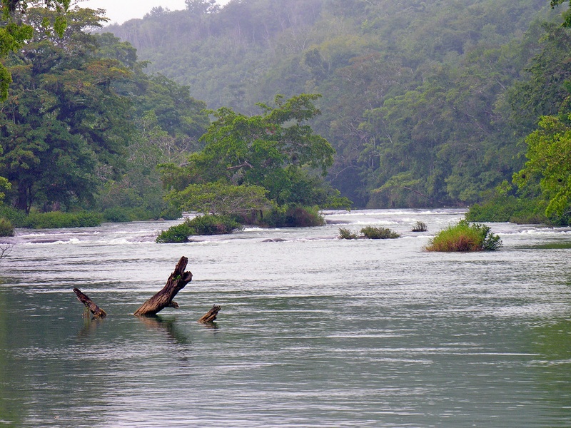
Usumacinta
The Usumacinta River forms the largest river system linked to Guatemala. It runs along the Guatemala–Mexico border in the Petén region and flows into the Gulf of Mexico via Mexico. It drains a huge rainforest area and carries water from many Guatemalan tributaries. Include it as Guatemala’s main transboundary river and a key drainage basin.
Motagua
The Motagua River runs east across Guatemala to the Gulf of Honduras. It drains a large central basin and carries much sediment from the highlands. It serves as a major Caribbean outlet for the country. Include it as a primary river for Guatemala’s eastern watershed.

Polochic
The Polochic River flows east into Lake Izabal in eastern Guatemala. It drains parts of Alta Verapaz and Izabal departments. It links highland runoff to Lake Izabal and then to the Caribbean via Río Dulce. Include it for its role in the Izabal drainage system.
Pasión
The Pasión River flows north through Petén and joins with the Salinas to form the Usumacinta system. It drains lowland rainforest and several tributaries. It is a major northern Guatemalan river for the Usumacinta basin.
Salinas
The Salinas River (Río Salinas) runs across northern Guatemala and helps form the Usumacinta when it meets the Pasión. It flows through the Petén lowlands and links many smaller streams. Include it for its role in the transboundary Usumacinta drainage.
Chixoy (Río Negro)
The Chixoy, also called Río Negro, rises in the highlands and flows north into lowland basins. It forms part of the larger Usumacinta/Salinas system and hosts the Chixoy hydroelectric dam. Include it as a major highland tributary with energy and watershed importance.
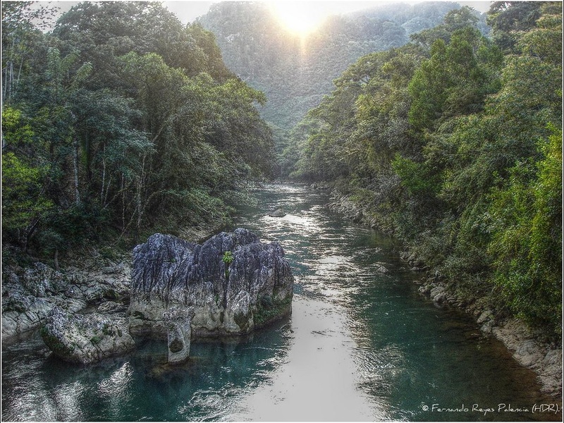
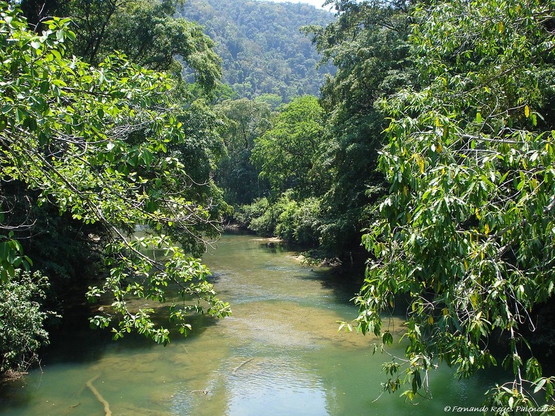
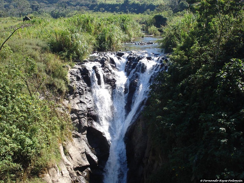
Cahabón
The Cahabón River flows in Alta Verapaz toward the Lake Izabal basin. It runs through narrow canyons and has rapids used for recreation. It serves as a significant tributary in the Polochic–Lake Izabal watershed.
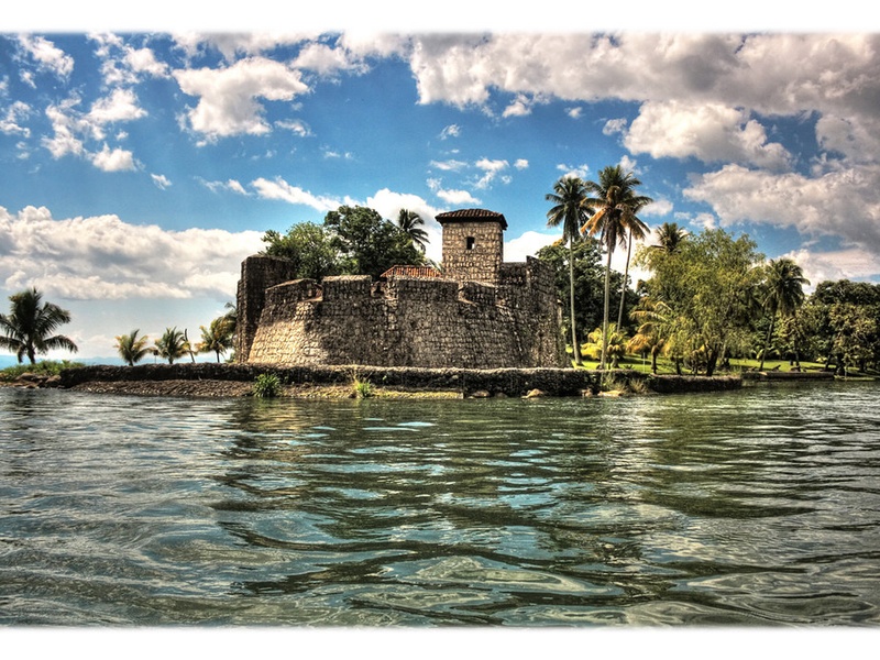
Río Dulce
Río Dulce links Lake Izabal to the Caribbean Sea at the Gulf of Honduras. It is navigable and hosts ports and tourist routes, including the town of Río Dulce and Livingston. Include it as the key outlet of Lake Izabal to the sea.
Sarstún
The Sarstún River runs along the Guatemala–Belize border and flows to the Caribbean. It marks a portion of the international boundary and supports coastal wetlands. Include it for its border and ecological importance.
Suchiate
The Suchiate River forms part of the border with Mexico along the Pacific coast. It drains volcanic highlands to the Pacific and serves as a major crossing point between countries. Include it as a key Pacific-border river.
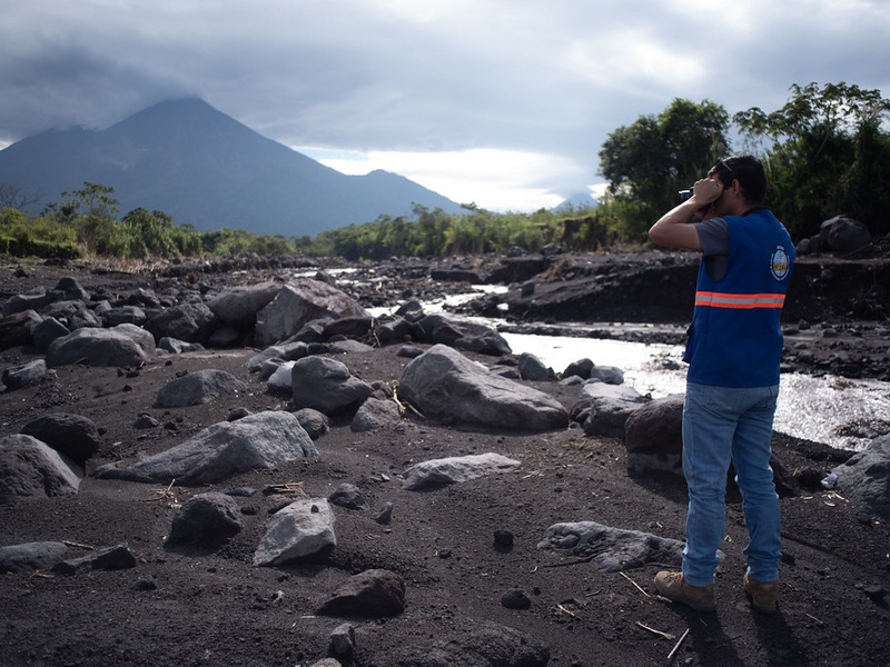
Samalá
The Samalá River drains the western highlands and flows to the Pacific coast. It cuts through volcanic terrain and causes floods and lahars in the valley. Include it for its impact on western Guatemala’s towns and agriculture.
Nahualate
The Nahualate River runs in southern Guatemala and drains to the Pacific. It carries water from the highlands to the coastal plain. Include it as an important south-central coastal river supporting local irrigation.
Coyolate
The Coyolate River flows from the highlands to the Pacific coast in southern Guatemala. It drains parts of the coastal plain and supports local farming. Include it as a notable Pacific-draining river in the central-south region.
Cuilco
The Cuilco River rises in the western highlands and flows toward Mexico as part of a transboundary basin. It drains steep mountain valleys and links highland runoff to larger river networks beyond Guatemala. Include it as a western highland river with cross-border reach.
Mopan
The Mopan River begins in Guatemala and flows east into Belize. It becomes part of the Belize River system and drains northern highlands toward the Caribbean. Include it as a transboundary river that links Guatemala to Belize.
Ixcán
The Ixcán River runs in northern Guatemala and feeds into larger lowland basins. It drains forested and rural areas and contributes to the Usumacinta drainage network. Include it for its role in northern watershed connectivity.
Madre Vieja
The Madre Vieja River flows from the highlands to the southern Pacific coast. It drains parts of the Pacific slope and supports coastal agriculture. Include it as a southern coastal river important to local communities.
Achiguate
The Achiguate River drains the southern slopes of the central highlands toward the Pacific. It passes through steep valleys and can cause sudden floods after heavy rains. Include it for its local flood risk and role in southern drainage.