Calculators, interactive maps and printable lists for planning a trip: count your Schengen days, explore the regions of a country, or print a packing list made for your trip.
The toolkit
Travel Tools
19 tools
Calculators, maps and printables
Calculator
Schengen 90/180 Calculator
Enter your trips and see how many of your 90 days you have used, and the first date you can return.
Printable
Packing List Generator
Answer a few quick questions and download a personalised packing list as a PDF.
Interactive maps
Regions, mapped
Explore the regions, states, provinces and cantons of six countries, with population, capitals and printable maps.
City safety maps
Areas to avoid
Neighbourhood crime maps for 8 US cities, built from each police department's own records.
Printable
Cruise Packing List
What to pack for ocean, river and expedition cruises, with cabin-rule gotchas checked.
Interactive map
Regions of Italy
Interactive map of the regions of Italy, with population, capitals and printable maps.
Interactive map
Regions of Japan
Interactive map of the regions of Japan, with population, capitals and printable maps.
Interactive map
Regions and States of Brazil
Interactive map of the regions of Brazil, with population, capitals and printable maps.
Interactive map
Regions and States of India
Interactive map of the regions of India, with population, capitals and printable maps.
Interactive map
Map of Canada
Interactive map of the regions of Canada, with population, capitals and printable maps.
Interactive map
Regions of Switzerland
Interactive map of the regions of Switzerland, with population, capitals and printable maps.
City safety map
Areas to Avoid in Chicago
Neighbourhood crime map of Chicago, built from the police department's own records.
City safety map
Areas to Avoid in New York City
Neighbourhood crime map of New York City, built from the police department's own records.
City safety map
Areas to Avoid in Los Angeles
Neighbourhood crime map of Los Angeles, built from the police department's own records.
City safety map
Areas to Avoid in San Francisco
Neighbourhood crime map of San Francisco, built from the police department's own records.
City safety map
Areas to Avoid in Miami
Neighbourhood crime map of Miami, built from the police department's own records.
City safety map
Areas to Avoid in Atlanta
Neighbourhood crime map of Atlanta, built from the police department's own records.
City safety map
Areas to Avoid in Baltimore
Neighbourhood crime map of Baltimore, built from the police department's own records.
City safety map
Areas to Avoid in Detroit
Neighbourhood crime map of Detroit, built from the police department's own records.
Buying guides
Gear worth packing
Compared on what matters for travel: weight, voltage, packability and price.

What to Pack for Arizona: Packing List by Trip Type and Month
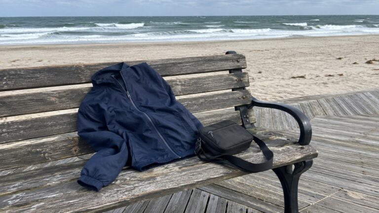
What to Pack for Atlantic City: A Packing List for Every Trip and Every Month
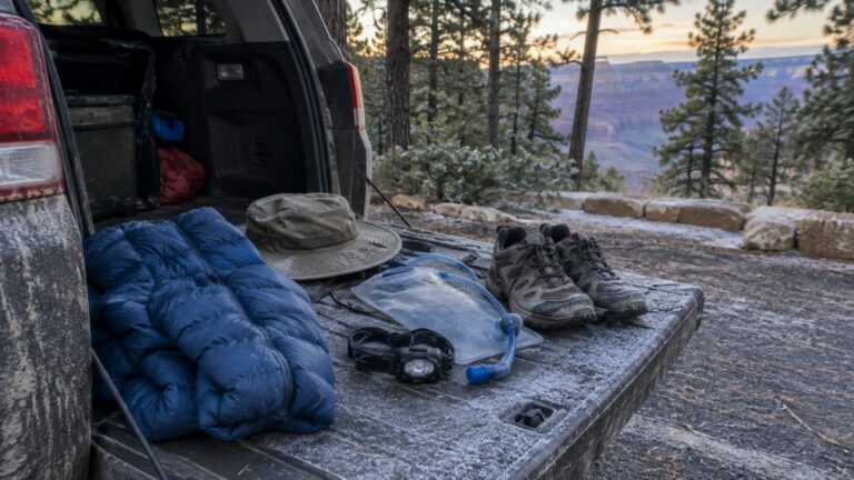
What to Pack for Grand Canyon National Park: Rim, Trail and Every Month
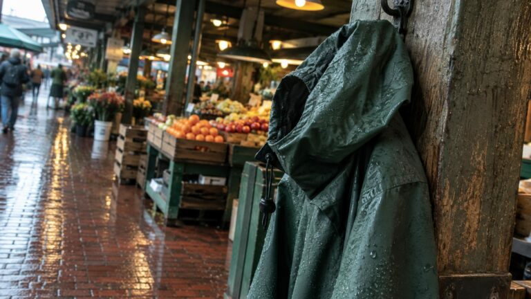
What to Pack for Seattle: Area by Area, Month by Month
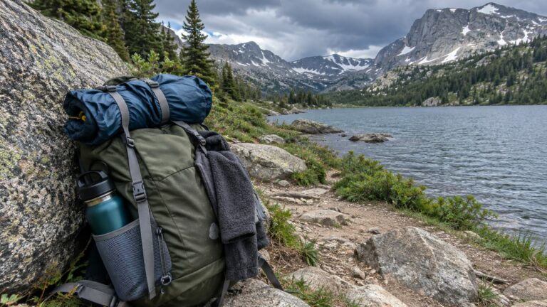
What to Pack for Colorado: Packing List by Activity and Month
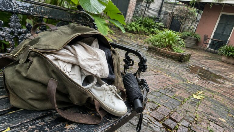
What to Pack for New Orleans: A Day-by-Day List for Every Month
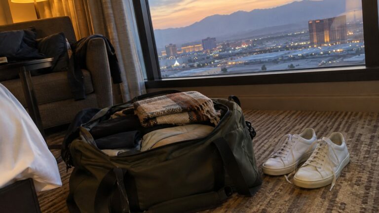
What to Pack for Las Vegas: Carry-On, Day Bag and Every Month
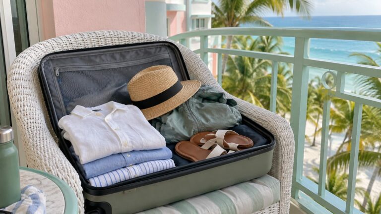
What to Pack for Miami: A Month-by-Month Packing List
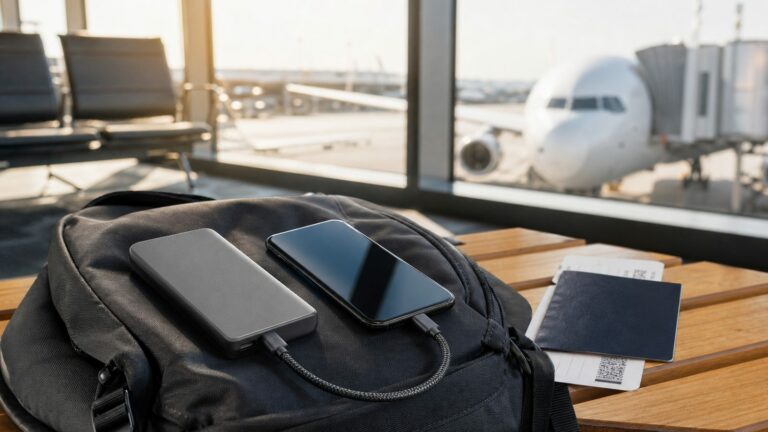
Best Travel Power Bank for Flying and International Trips
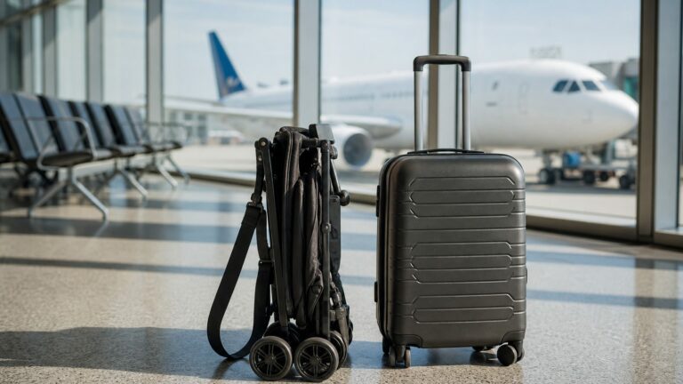
Best Travel Stroller for Flying, Toddlers and Every Age
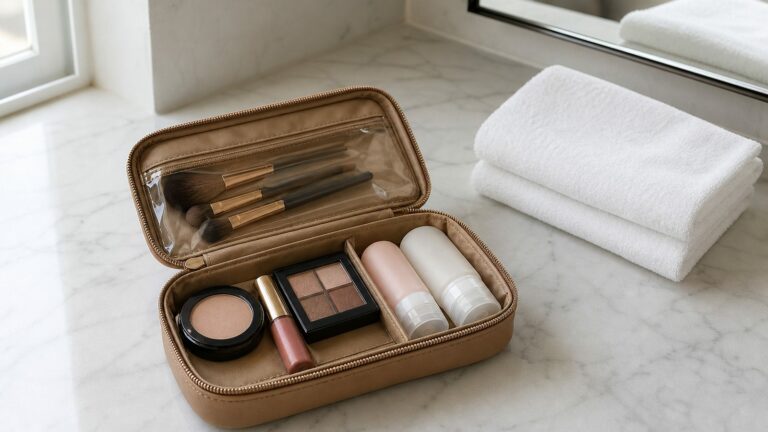
Best Travel Makeup Bag for Every Trip

Best Travel Coffee Table Books for Every Trip and Destination

Best Travel Fan for Every Trip

Best Travel Hair Dryer for Europe, Curls and Carry-On